Pittwater
- Saltwater
- Estuary
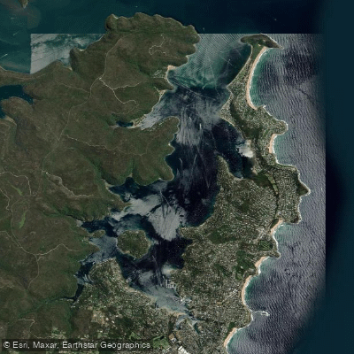
Pittwater
- Saltwater
- Estuary
- Sq. miles
- 7.1
- Boat Ramps
- 5
- Access Points
- 7
- Campsites
- 1
Pittwater is a large, approximately 15-kilometer-long estuary located in Sydney's Northern Beaches, offering diverse paddling conditions from sheltered bays to open ocean exposure. A key launch point is McCarr's Creek at the southern end, providing access to the waterway. Other notable access and stopover points include Clareville Beach, Church Point, and the Basin campground, which offers overnight camping facilities. The area is characterized by pristine waters and scenic views, with notable sights including the Barrenjoey Headland, Palm Beach with its Norfolk Pines, and the remote Resolute Beach, accessible via a bushwalk from the water through Ku-ring-gai Chase National Park. Classic paddling routes include a return trip from McCarr's Creek to Resolute Beach, covering approximately 22 kilometers. A longer, one-way route requiring a car shuffle can go from McCarr's Creek to West Head and Akuna Bay. Paddlers should be aware of significant boat traffic, with lots of yachts racing, particularly during the summer months. Ocean swell can also make its way into the upper parts of Pittwater depending on wind direction, creating more challenging conditions. The waterway is home to diverse wildlife such as dolphins, seals, and various bird species. For a tranquil experience, early morning paddles at sunrise are recommended when the seas are calm. Water quality at specific locations like Bayview Baths has been rated as poor due to potential faecal contamination from stormwater and sewage overflows, particularly after rainfall, which is a consideration for swimmers. The overall paddling experience combines the convenience of proximity to Sydney with a sense of remote adventure along its forested foreshores.
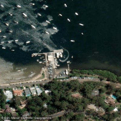
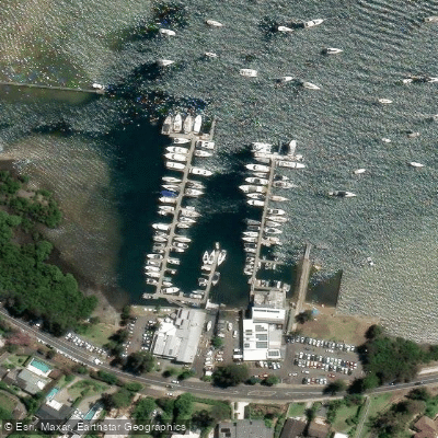
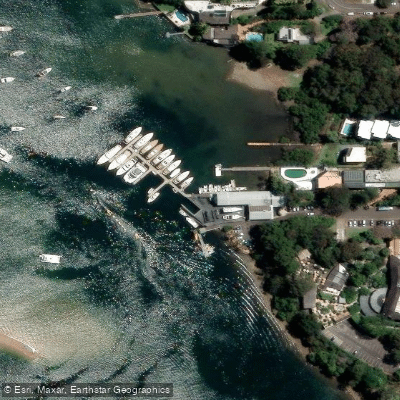
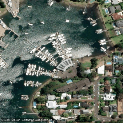
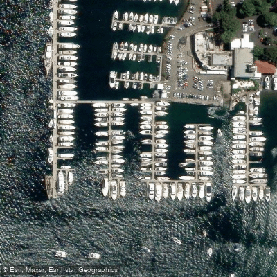
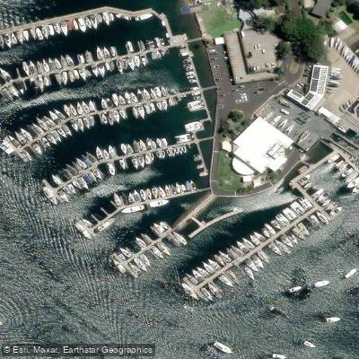
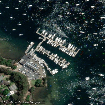
Water access, boat ramps & amenities
Learn how to get on Pittwater. Uncover great paddling access points, boat ramps, and all the facilities you need for an unforgettable day on the water. Some locations shown may border or include private property. Always check property boundaries and applicable regulations before visiting. PaddleWays's Public & Private Land layer can help you plan your access with confidence.
Paddle smarter with real-time insights
Whether you're en route and conditions shift or you're looking for the best spot based on current flows, we enable you to make informed decisions on the fly.








Find Places to Paddle

Over 400,000 Places to Paddle
Every user gets free access to launch points, boat ramps, and public property parcels.


Tides, wind & water conditions (10 day forecast)
On open water, wind and tide matter as much as the weather. See the best times to paddle Pittwater and check the marine forecast before you launch.
Loading tide predictions…
Paddling near Pittwater
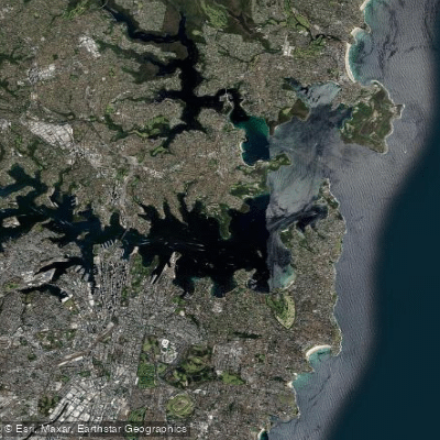
Sydney
Parramatta River
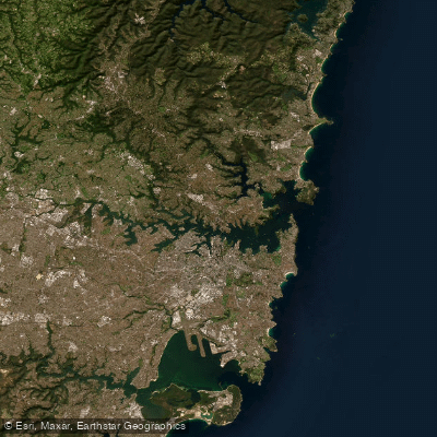
Port Jackson
Lane Cove River
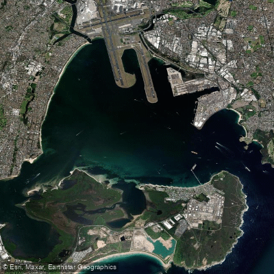
Botany
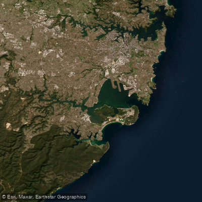
Botany Bay
Cowan Creek

Georges River
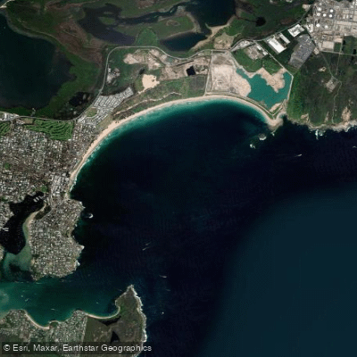
Bate Bay
Woronora River
Explore New South Wales waters
Top paddling waters
No waters available right now.
Popular Cities
Loading popular cities...
Explore near Pittwater
Access points
Nearby waters
More in New South Wales

Smarter Paddling Starts in the App.
Paddleways gives you everything you need to plan smarter, paddle better, and own every trip from first launch to takeout.