Wyong River
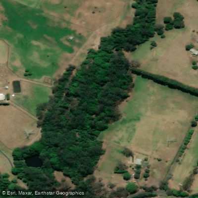
Wyong River
- Boat Ramps
- 1
- Access Points
- 0
- Campsites
- 0
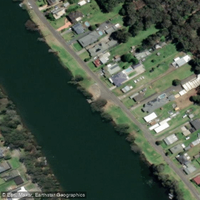
The Wyong River runs for over 67 kilometres through New South Wales on the Central Coast, flowing downstream into Tuggerah Lake. The river passes through a mix of rural and forested landscapes upstream and more urban, residential areas downstream, with boats, houses, and bridges becoming more common as you approach the lake.
Several launch points are available. The Wyong Milk Factory is a popular starting point for afternoon paddles, and also offers food nearby. The Tacoma Boat Ramp and Wyong River Weir are additional access options. The Wyong River Foreshore Reserve provides a boat ramp, jetty, and picnic area. Another noted starting point is near the Don Small Oval, from which paddlers can travel downstream to the river entrance and around Rocky Point to Tuggerawong.
The character of the river changes significantly depending on direction. Upstream, the water is shallower and paddlers will encounter fallen trees that require climbing over, crawling under, or manoeuvring around — particularly in the roughly 1 kilometre stretch upstream after Jilliby Creek joins the Wyong River. Low water levels can also limit how far upstream you can travel. This section is better suited to intermediate paddlers. Downstream, the river widens and debris is less of an issue, making it more accessible for beginners. The AllTrails listing describes an 8.2-mile out-and-back route on the river.
The river is known for platypus sightings, though they are not easy to spot. Late afternoon or early evening paddling improves the chances of an encounter, as platypus are nocturnal. Birdlife is also noted as abundant, and kangaroos and wallabies have been observed along the banks. The recommended visiting period runs from March through November. Canoeing, kayaking, and paddleboarding are all permitted on the river, though it is advisable to check whether a permit is required before visiting.
Water access, boat ramps & amenities
Learn how to get on Wyong River. Uncover great paddling access points, boat ramps, and all the facilities you need for an unforgettable day on the water. Some locations shown may border or include private property. Always check property boundaries and applicable regulations before visiting. PaddleWays's Public & Private Land layer can help you plan your access with confidence.
Paddle smarter with real-time insights
Whether you're en route and conditions shift or you're looking for the best spot based on current flows, we enable you to make informed decisions on the fly.








Find Places to Paddle

Over 400,000 Places to Paddle
Every user gets free access to launch points, boat ramps, and public property parcels.


Water and weather conditions (10 day forecast)
See the best times to paddle Wyong River and check the forecast before you go.
Wyong River At Gracemere
All Flow Stations
Paddling near Wyong River
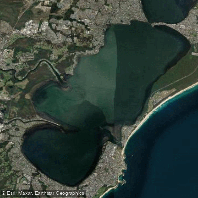
Tuggerah
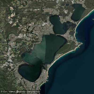
Tuggerah Lakes
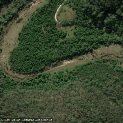
Mangrove Creek
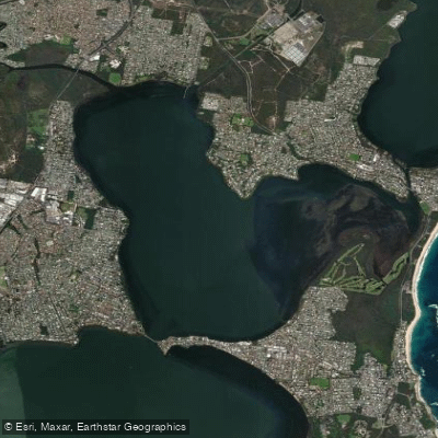
Budgewoi Lake
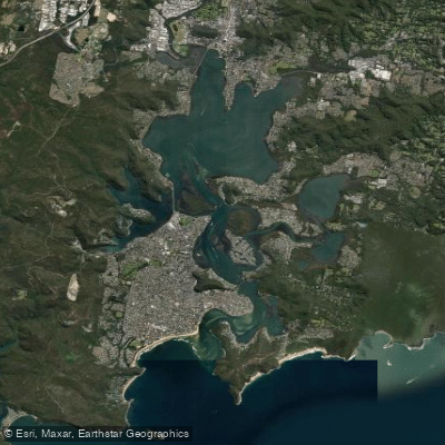
Brisbane Water
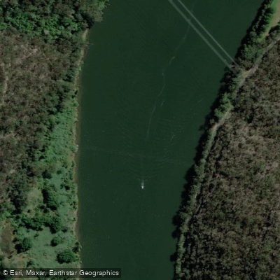
Hawkesbury River
Narara Creek
Pittwater
Lake Macquarie
Explore New South Wales waters
Top paddling waters
No waters available right now.
Popular Cities
Loading popular cities...
Explore near Wyong River
Access points
Nearby waters
More in New South Wales

Smarter Paddling Starts in the App.
Paddleways gives you everything you need to plan smarter, paddle better, and own every trip from first launch to takeout.