Hawkesbury River
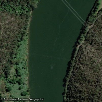
Hawkesbury River
- Boat Ramps
- 5
- Access Points
- 1
- Campsites
- 4
The Hawkesbury River in New South Wales, Australia, is a large tidal estuary located roughly one hour north of central Sydney by car. It is also accessible by train from Sydney or the Central Coast, with Hawkesbury River Station serving as a convenient entry point. The river is rated suitable for beginner paddlers, though tidal and wind conditions demand attention before any outing. Paddling with the tide rather than against it is strongly recommended, as adverse conditions can significantly increase the difficulty of what would otherwise be a straightforward trip.
There are numerous put-in points accessed through public land along the river. Key launch sites include the Parsley Bay Boat Ramp at Brooklyn, the Deerubbin Reserve ramp off the Pacific Highway (a large facility with a pontoon and ample parking), and Berowra Waters, which offers calm, protected water for those heading north toward camping areas. The Hawkesbury Nepean canoe trail runs 83.5 kilometres from Yarramundi to Wisemans Ferry and can be broken into six day sections or completed as a multiday expedition. Accommodation along this stretch includes caravan parks, water ski resorts, and B&Bs, with wild camping available in Cattai National Park on the Windsor-to-Ebenezer section.
From Brooklyn, popular day routes include a circuit via Mullet Creek through Brooklyn Harbour (accessed from Deerubbin Reserve), and a return paddle to Patonga covering approximately 19 kilometres round trip. Cowan Creek, reached from Brooklyn, offers clear water, dense bushland, Aboriginal rock art, sandstone cliffs, and secluded beaches. Dangar Island is reachable in around 20 minutes from Parsley Bay, while Jerusalem Bay takes approximately 1.5 hours and Cottage Point 2 to 3 hours. Landing on Lion Island is not permitted.
The river sees significant powerboat and water-ski traffic, and paddlers are advised to travel on the right-hand side of the river and remain alert to vessel wash. The lower reaches near the coast can become lumpy depending on swell, wind, and tidal conditions, so checking a marine chart and weather forecast before departure is important. The surrounding landscape features sandstone cliffs, lush bushland, and abundant wildlife. Remote camping areas north of Brooklyn are accessible within 3 to 4 hours of paddling, with basic toilet facilities at most sites; drinking water is only available at Crosslands Reserve.
Water access, boat ramps & amenities
Learn how to get on Hawkesbury River. Uncover great paddling access points, boat ramps, and all the facilities you need for an unforgettable day on the water. Some locations shown may border or include private property. Always check property boundaries and applicable regulations before visiting. PaddleWays's Public & Private Land layer can help you plan your access with confidence.
Paddle smarter with real-time insights
Whether you're en route and conditions shift or you're looking for the best spot based on current flows, we enable you to make informed decisions on the fly.








Find Places to Paddle

Over 400,000 Places to Paddle
Every user gets free access to launch points, boat ramps, and public property parcels.


Water and weather conditions (10 day forecast)
See the best times to paddle Hawkesbury River and check the forecast before you go.
North Richmond Wps (Hawkesbury River)
All Flow Stations
Paddling near Hawkesbury River
Wyong River
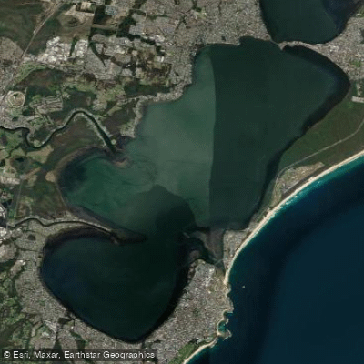
Tuggerah
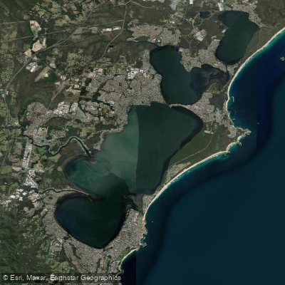
Tuggerah Lakes
Mangrove Creek
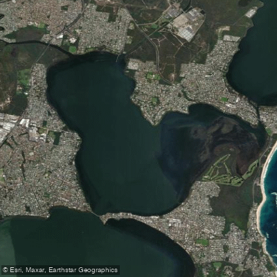
Budgewoi Lake
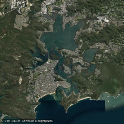
Brisbane Water
Narara Creek
Pittwater
Lake Macquarie
Explore New South Wales waters
Top paddling waters
No waters available right now.
Popular Cities
Loading popular cities...
Explore near Hawkesbury River
Access points
Nearby waters
More in New South Wales

Smarter Paddling Starts in the App.
Paddleways gives you everything you need to plan smarter, paddle better, and own every trip from first launch to takeout.