Bundabah Creek
- River
- River
- River length
- 7 mi
- Boat Ramps
- 0
- Access Points
- 0
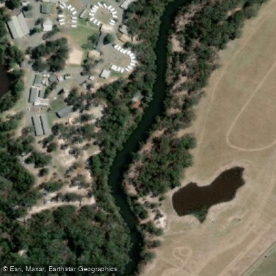
Bundabah Creek is located at the top end of North Arm Cove, in the Port Stephens region of New South Wales. The entrance to the creek sits just north of the township of Bundabah and is marked by two channel markers. The waterway follows a U-shaped course, with a mid-point connection to the adjacent Bulga Creek accessible at higher tides. A boat ramp at Bundabah provides a convenient launch point for paddlers.
The creek falls within the Port Stephens Marine Park and is designated as a Sanctuary Zone, meaning fishing is prohibited throughout the waterway. Paddlers should be aware of this restriction before launching.
The channel is narrow, flanked by mud flats and oyster racks on both sides. Many of the oyster leases are current, but even active leases contain large areas of derelict posts — a significant hazard. Submerged or partially submerged posts from old oyster racks pose a genuine risk of damage to vessels, and at least one boat has been sunk after striking a derelict post. Travelling slowly and with caution is strongly advised, particularly in areas away from the marked channel. The route between Bundabah Creek and Bulga Creek is unmarked, and navigating it without solid local knowledge is not recommended.
Kayaks and canoes are well suited to the creek, as the shallow, narrow channel limits access for larger vessels. At low tide, depths in some sections can be less than 0.4 metres, making timing a paddle around higher tides advisable, especially for those wishing to reach Bulga Creek via the mid-creek connection. The water is generally calm, and on clear, windless days visibility through the water can be good enough to observe flathead resting in the weed.
Wildlife is a notable feature of the creek. Turtles are regularly encountered, though they typically submerge quickly upon detecting a vessel — paddlers are advised to travel slowly to avoid striking them. Birdlife and crabs are also commonly observed along the banks, contributing to the overall character of the paddling environment. The Great Aussie Bush Camp at Tea Gardens also uses Bundabah Creek for structured kayaking activities, reflecting its suitability as a calm, sheltered waterway for paddlers of varying experience levels.
Hazards
Hazards on Bundabah Creek
No hazards are marked on Bundabah Creek yet. That is not the same as none being there: if you find one, report it for the next paddler.
From the community
Bundabah Creek trip reports
Nobody has shared a trip on Bundabah Creek yet. Paddle it, then tell the next paddler how it went.
Flows & paddling conditions (10 day forecast)
Flows and weather, so you know what to expect on Bundabah Creek today.
No forecast data available.
Paddle smarter with real-time insights
Live flows, marked hazards and fresh trip reports from paddlers who were just on the water, all in one place.







Find Places to Paddle

Over 400,000 Places to Paddle
Every user gets free access to launch points, boat ramps, and public property parcels.



Paddling near Bundabah Creek
Hunter River
Lake Macquarie
Stockton Beach
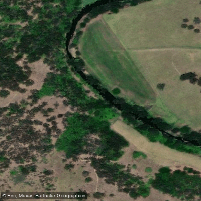
Paterson River
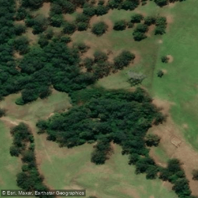
Dora Creek
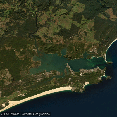
Port Stephens
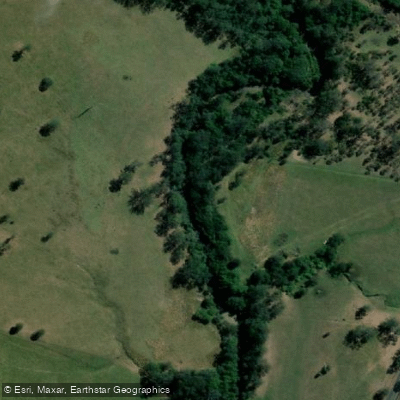
Karuah River
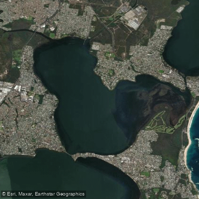
Budgewoi Lake
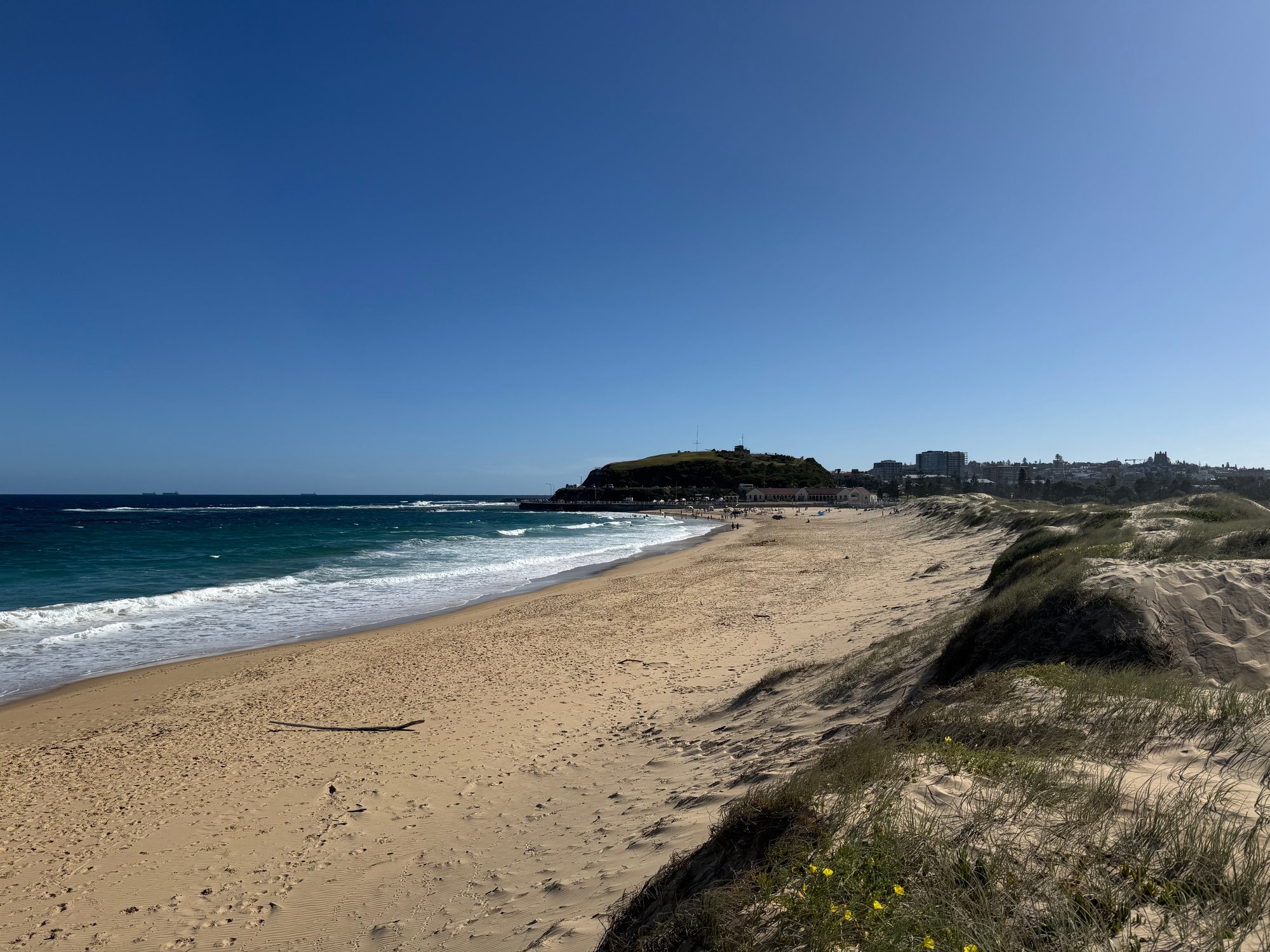
Nobbys Beach
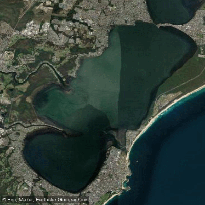
Tuggerah
Explore New South Wales waters
Top paddling waters
No waters available right now.
Explore near Bundabah Creek

Smarter Paddling Starts in the App.
PaddleWays gives you everything you need to plan smarter, paddle better, and own every trip from first launch to takeout.