Camden Haven River
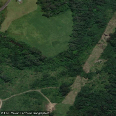
Camden Haven River
- Boat Ramps
- 1
- Access Points
- 0
- Campsites
- 0
The Camden Haven River is located on the Mid North Coast of New South Wales, Australia, rising on the Great Escarpment and Comboyne Plateau at an elevation of 698 metres west of Lorne and flowing east for 72.4 kilometres through state forests and fertile valleys. It passes through historic townships including Lorne and Kendall before broadening significantly near the Pacific Highway, then entering an expansive waterways system that includes Watson Taylors Lake. From there it connects with Queens Lake before flowing through the townships of Laurieton, North Haven, and Dunbogan to enter the Pacific Ocean at Camden Head. The river is classified as an open and trained intermediate wave-dominated barrier estuary.
The entrance to Camden Haven from the ocean is a river bar. Camden Head and Point Perpendicular provide meaningful protection from prevailing southerly swell, making this one of the less demanding barred river entrances on the NSW North Coast. Crossing should be timed with an incoming tide. When low-pressure systems or strong summer nor'easterlies push swell from the east or northeast, the bar is not safely navigable at any state of the tide. Strong tidal influence is present throughout the lower river, and there is a submarine cable crossing the river upstream from the Laurieton visitors wharf, clearly signposted.
For kayakers, a popular route runs from Dunbogan Jubilee Hall toward Queens Lake, covering approximately 6 kilometres one way. The initial crossing of the Camden Haven inlet is the most technical section, as boat traffic can be heavy; paddlers are advised to cross directly to the North Haven side before following the water's edge to Stingray Creek. From there the route continues through Queens Lake toward Goat Island and Herons Creek, finishing at Queens Lake Sailing Club. Checking tides and weather before departure is strongly recommended for this route.
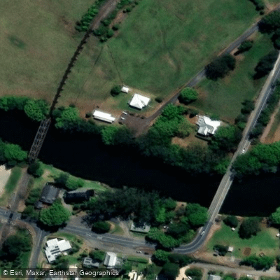
The Port Macquarie Hastings Canoe Club has run paddles from Kendall, with groups covering up to 20 kilometres in a single outing. The stretch near Kendall passes alongside the north coast railway line and includes a historic road bridge built around 1915. The river and associated lakes are noted for bream, flathead, and luderick, as well as prawns and crabs during summer. Facilities for paddlers include boat and kayak hire through Dunbogan Boatshed, and a visitors wharf at Laurieton where vessels may tie up. The Camden Haven Dragon Boat Club trains on the river six days per week.
Water access, boat ramps & amenities
Learn how to get on Camden Haven River. Uncover great paddling access points, boat ramps, and all the facilities you need for an unforgettable day on the water. Some locations shown may border or include private property. Always check property boundaries and applicable regulations before visiting. PaddleWays's Public & Private Land layer can help you plan your access with confidence.
Paddle smarter with real-time insights
Whether you're en route and conditions shift or you're looking for the best spot based on current flows, we enable you to make informed decisions on the fly.








Find Places to Paddle

Over 400,000 Places to Paddle
Every user gets free access to launch points, boat ramps, and public property parcels.


Water and weather conditions (10 day forecast)
See the best times to paddle Camden Haven River and check the forecast before you go.
Camden Haven River At Kendall (Logans Crossing)
All Flow Stations
Paddling near Camden Haven River
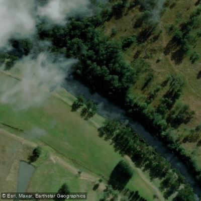
Hastings River
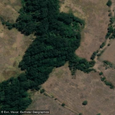
Herons Creek
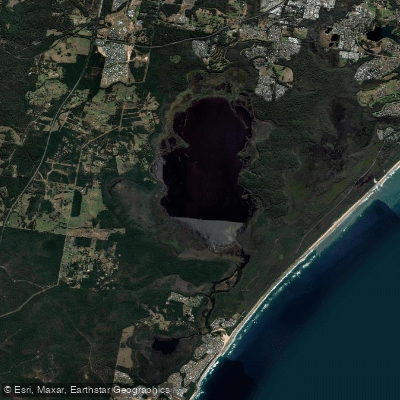
Lake Cathie/Innes
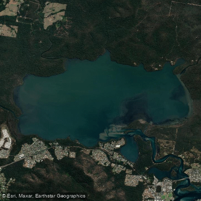
Queens Lake
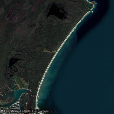
North Shore Beach
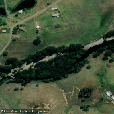
Wilson River
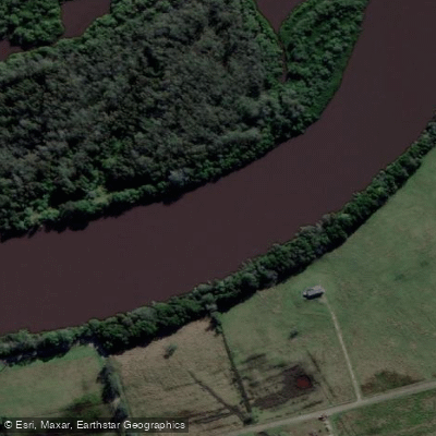
Maria River
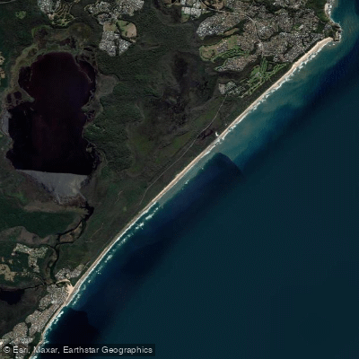
Lighthouse Beach
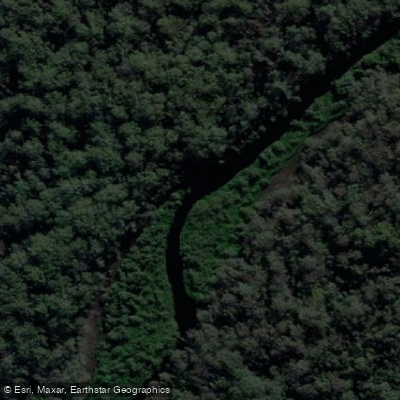
Limeburners Creek
Explore New South Wales waters
Top paddling waters
No waters available right now.
Popular Cities
Loading popular cities...
Explore near Camden Haven River
Access points
Nearby waters
More in New South Wales

Smarter Paddling Starts in the App.
Paddleways gives you everything you need to plan smarter, paddle better, and own every trip from first launch to takeout.