Wilson River
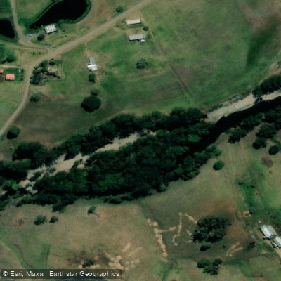
Wilson River
- Boat Ramps
- 1
- Access Points
- 0
- Campsites
- 3
The Wilson River flows through the mid-north coast of New South Wales, passing through Telegraph Point before joining the Hastings and Maria Rivers near Port Macquarie. The river offers a range of paddling experiences, from wide, smooth stretches near the Telegraph Point bridge to narrower, winding sections with rocky narrows further upstream.
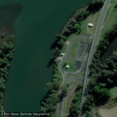
The primary access point is the Log Wharf boat ramp at Telegraph Point, which serves as the launch site for multiple routes. From here, paddlers can head upstream through a changing landscape that transitions from broad, calm water near the bridge and rail overpass to a more meandering course with shallows and grassy outcrops beginning around 7 km upriver. Timing an upstream paddle to coincide with a run-in tide is advisable to ease passage over these shallows. The riverbanks along this stretch pass through private property, though sandbanks and rocky bends provide stopping points along the way.
A second route explores the anabranchs formed at the confluence of the Wilson and Maria Rivers, where narrower waterways loop around Fentons Island and Torrens Island via the Maria Anabranch and Torrens Anabranch. A longer option runs approximately 25 kilometres downstream from the Log Wharf at Telegraph Point to the Rowing Reserve at Hibbard Drive in Port Macquarie — a route also used for the Three Rivers Marathon. Paddlers taking this route at a leisurely pace on an outgoing tide should allow roughly half a day.
The river corridor is characterised by tall white river gums, rolling farmland with cattle, and cascading vines along the banks. Bellbirds are commonly heard along the quieter upstream sections. In winter, early morning paddles can encounter mist on the water, while summer paddling offers a mix of light and shade.
The Far North Coast Canoe Club is based on the Wilsons River in Lismore, further upstream, indicating an active paddling community in the broader river catchment. White water conditions have also been recorded west of Port Macquarie at flows around 2 metres (approximately 6,000 ML/hr), suggesting the upper river can carry significant current during higher water levels.
Water access, boat ramps & amenities
Learn how to get on Wilson River. Uncover great paddling access points, boat ramps, and all the facilities you need for an unforgettable day on the water. Some locations shown may border or include private property. Always check property boundaries and applicable regulations before visiting. PaddleWays's Public & Private Land layer can help you plan your access with confidence.
Paddle smarter with real-time insights
Whether you're en route and conditions shift or you're looking for the best spot based on current flows, we enable you to make informed decisions on the fly.








Find Places to Paddle

Over 400,000 Places to Paddle
Every user gets free access to launch points, boat ramps, and public property parcels.


Water and weather conditions (10 day forecast)
See the best times to paddle Wilson River and check the forecast before you go.
Wilson River At Avenel
All Flow Stations
Paddling near Wilson River
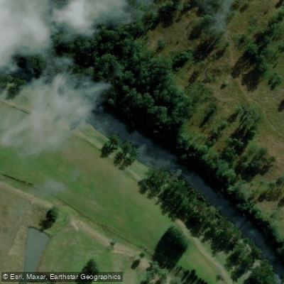
Hastings River
Herons Creek
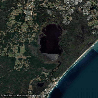
Lake Cathie/Innes
Camden Haven River
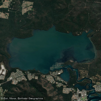
Queens Lake
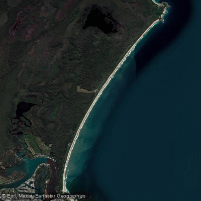
North Shore Beach
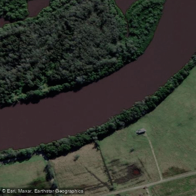
Maria River
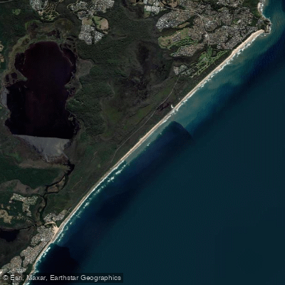
Lighthouse Beach
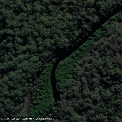
Limeburners Creek
Explore New South Wales waters
Top paddling waters
No waters available right now.
Popular Cities
Loading popular cities...
Explore near Wilson River
Access points
Nearby waters
More in New South Wales

Smarter Paddling Starts in the App.
Paddleways gives you everything you need to plan smarter, paddle better, and own every trip from first launch to takeout.