Kalang River
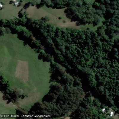
Kalang River
- Boat Ramps
- 3
- Access Points
- 0
- Campsites
- 1
The Kalang River is located on the Mid North Coast of New South Wales, approximately 20 kilometres south of Coffs Harbour and roughly midway between Sydney and Brisbane. It rises on the Dorrigo Plateau in the heart of the ancient Ebor Volcano and flows to meet the Bellinger River before both empty into the Tasman Sea at Urunga, a small town of around 3,000 residents. The confluence of the two rivers creates a broad estuarine environment that defines the character of paddling in this area.
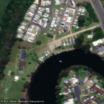
One of the more distinctive geographical features near the river's lower reaches is Newry Island, formed where the Kalang wraps around the mainland just before joining the Bellinger. This configuration makes a circular route possible — a one-way river trip that starts and ends at the same point — which is a relatively uncommon opportunity. The Kalang River Classic Paddling Race uses this area, with the course paddling around Newry Island. The river also has a picturesque tributary called Picket Hill Creek on its western side near Urunga, lined with eucalypts, casuarinas, melaleucas, and mangroves that provide shelter and typically produce glassy water conditions with clear reflections.
The AllTrails route described as the Bellinger River to Kalang River Paddle crosses the estuary where the two rivers converge before reaching the Pacific Ocean, with Mylestom situated across the water to the north. Urunga Island, formed where the Bellinger and Kalang link flows just inland, is noted as a venue for paddling exploration.
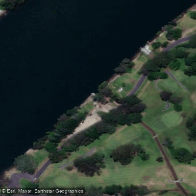
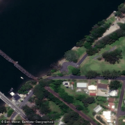
Access infrastructure in the area includes the Urunga Ramp (with both upstream and downstream access points) and the Kalang River Boat Ramp, located roughly 1.5 kilometres from the town centre. The Urunga Boardwalk runs along the banks of the Kalang River to its junction with the Bellinger and out toward the ocean, offering views up the river valleys toward the Great Dividing Range and north across to Mylestom Spit.
The river hosts organised dragon boat racing events, with races conducted at the 200-metre mark in open, mixed, and sprint formats. The area is acknowledged as traditional Country of the Bundjalung and Gumbaynggirr peoples. The name Urunga means "long white sands" in the Gumbainggar language.
Water access, boat ramps & amenities
Learn how to get on Kalang River. Uncover great paddling access points, boat ramps, and all the facilities you need for an unforgettable day on the water. Some locations shown may border or include private property. Always check property boundaries and applicable regulations before visiting. PaddleWays's Public & Private Land layer can help you plan your access with confidence.
Paddle smarter with real-time insights
Whether you're en route and conditions shift or you're looking for the best spot based on current flows, we enable you to make informed decisions on the fly.








Find Places to Paddle

Over 400,000 Places to Paddle
Every user gets free access to launch points, boat ramps, and public property parcels.


Water and weather conditions (10 day forecast)
See the best times to paddle Kalang River and check the forecast before you go.
No forecast data available.
Paddling near Kalang River
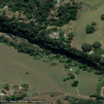
Bellinger River
Bobo River
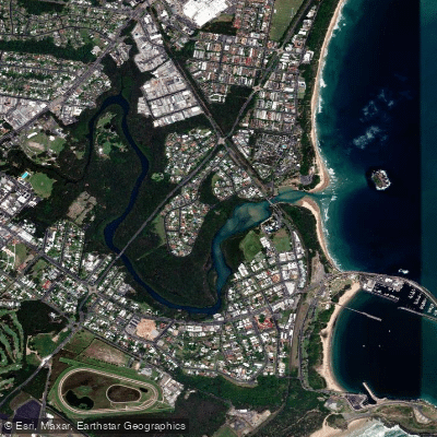
Coffs Harbour Creek
Little Nymboida River
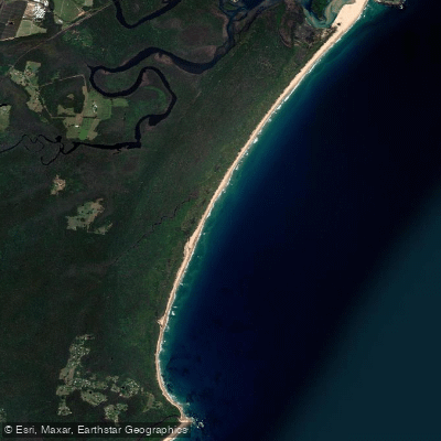
Bonville
Bonville Creek
Pine Creek
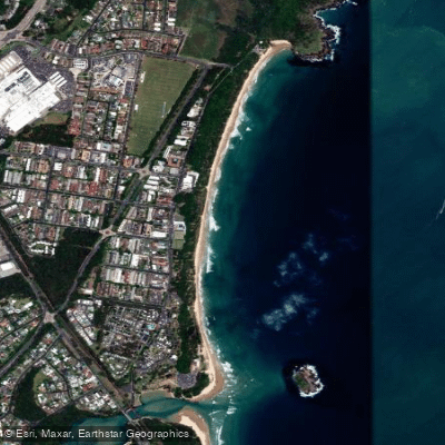
Park Beach
Coffs Creek
Explore New South Wales waters
Top paddling waters
No waters available right now.
Popular Cities
Loading popular cities...
Explore near Kalang River

Smarter Paddling Starts in the App.
Paddleways gives you everything you need to plan smarter, paddle better, and own every trip from first launch to takeout.