Little Nymboida River
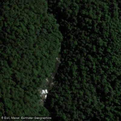
Little Nymboida River
- Boat Ramps
- 0
- Access Points
- 0
- Campsites
- 1
The Little Nymboida River is a perennial stream in New South Wales, Australia, rising on the western slopes of Bushmans Range on the Great Dividing Range, east of Ulong near Lowanna. It flows generally north, then southwest, then northwest over 44 kilometres, descending 327 metres before reaching its confluence with the Nymboida River west of Black Mountain, within Nymboida National Park. The Bobo River is among its left-bank tributaries.
The most documented paddling section runs from Battery Road to Bobo Junction, covering 9 kilometres at an average gradient of 15 metres per kilometre, with the put-in at approximately 440 metres elevation and the take-out at 310 metres. This section is graded IV with a couple of optional Grade V rapids and typically takes around five hours due to the high frequency of scouting and portaging. The trip begins almost immediately with Waterwheel Falls, a 6-metre drop into a slot where a waterwheel once operated for power generation, which most paddlers portage. Other significant features include Star Falls, an 8-metre drop onto rocks associated with a derelict hydro development; Triple Treat, three consecutive Grade III–IV rapids within roughly 200 metres; Sluice Box, a Grade IV+ rapid consisting of three drops and chutes through a tight canyon; and Gangsta Falls, a 12-metre drop into a large pool. Most paddlers complete between one and six portages, which generally involve ferrying between islands, lowering boats, and scrambling.
Assessing water levels before committing to this section is important. One practical indicator is the rapid upstream of the bridge at Lowanna — if it appears paddleable at approximately 0.4 on the manual gauge on that bridge, there is likely sufficient water for the Battery Road to Bobo Junction run. Additional indicators include water lapping at the Bobo River Bridge on Lower Bobo Road and the Nymboida at Nymboida electronic gauge reading at least 2.5 metres. The section is rated low for both popularity and reliability, reflecting its demanding nature and the narrow window of suitable flows.
The junction of the Little Nymboida and Nymboida Rivers, located within Nymboi-Binderay National Park, also serves as the put-in for the Clarence Canoe and Kayak Trail Section 1, accessible via The Junction Road off Black Mountain Road, with four-wheel drive recommended.
Water access, boat ramps & amenities
Learn how to get on Little Nymboida River. Uncover great paddling access points, boat ramps, and all the facilities you need for an unforgettable day on the water. Some locations shown may border or include private property. Always check property boundaries and applicable regulations before visiting. PaddleWays's Public & Private Land layer can help you plan your access with confidence.
Paddle smarter with real-time insights
Whether you're en route and conditions shift or you're looking for the best spot based on current flows, we enable you to make informed decisions on the fly.








Find Places to Paddle

Over 400,000 Places to Paddle
Every user gets free access to launch points, boat ramps, and public property parcels.


Water and weather conditions (10 day forecast)
See the best times to paddle Little Nymboida River and check the forecast before you go.
No forecast data available.
Paddling near Little Nymboida River
Bellinger River
Bobo River
Coffs Harbour Creek
Kalang River
Bonville
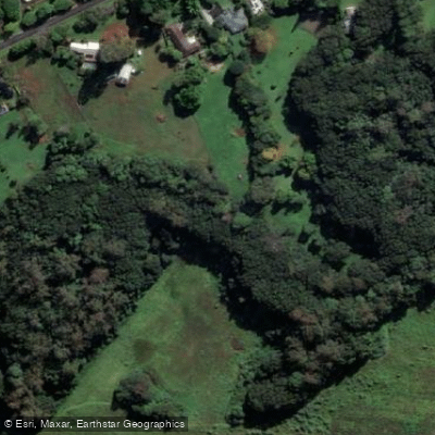
Bonville Creek
Pine Creek
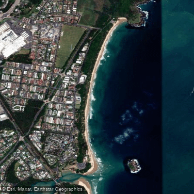
Park Beach
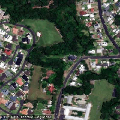
Coffs Creek
Explore New South Wales waters
Top paddling waters
No waters available right now.
Popular Cities
Loading popular cities...
Explore near Little Nymboida River
Access points
Nearby waters
More in New South Wales

Smarter Paddling Starts in the App.
Paddleways gives you everything you need to plan smarter, paddle better, and own every trip from first launch to takeout.