Lake Menindee
Lake Menindee
- Boat Ramps
- 1
- Access Points
- 0
- Campsites
- 0
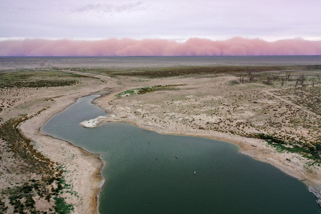
Lake Menindee is the largest of the Menindee Lakes system in outback New South Wales, measuring 16 kilometres long and 14 kilometres wide. It sits adjacent to the town of Menindee, approximately 110 kilometres southeast of Broken Hill. The lake is part of a broader water storage scheme fed by the Darling River, which supplies water to Broken Hill, the lower Darling, and downstream users across New South Wales, Victoria, and South Australia.
Water levels in Lake Menindee are highly variable, a defining characteristic of the entire Darling River system. The lake depends on replenishment when flows from the Darling River are sufficient, and storage levels can fluctuate dramatically — at times sitting as low as 30% capacity. Paddlers planning a visit should check current storage levels well in advance, as the lake may hold significantly reduced water during dry periods. A boat ramp is available at Menindee for launching.
WaterNSW manages the lake and enforces several restrictions. Model aircraft and drones are prohibited on the water. Recreation areas are closed on all Total Fire Ban days, which is a relevant consideration given the outback location and hot, dry summers. Penalties of up to $44,000 apply for breaches of these restrictions.
The broader Menindee Lakes system is ecologically significant for waterbirds, though recent research has noted a decline in the ecological resilience of the food webs within the system. Fish kills have occurred in the Darling River downstream of the lakes, reflecting ongoing water quality concerns in the region. The surrounding landscape is characteristic outback NSW, with the remote township of Menindee providing the nearest services and Broken Hill accessible roughly 110 kilometres to the northwest.
Water access, boat ramps & amenities
Learn how to get on Lake Menindee. Uncover great paddling access points, boat ramps, and all the facilities you need for an unforgettable day on the water. Some locations shown may border or include private property. Always check property boundaries and applicable regulations before visiting. PaddleWays's Public & Private Land layer can help you plan your access with confidence.
Paddle smarter with real-time insights
Whether you're en route and conditions shift or you're looking for the best spot based on current flows, we enable you to make informed decisions on the fly.








Find Places to Paddle

Over 400,000 Places to Paddle
Every user gets free access to launch points, boat ramps, and public property parcels.


Water and weather conditions (10 day forecast)
See the best times to paddle Lake Menindee and check the forecast before you go.
Darling River At Lake Menindee - Storage Gauge
All Flow Stations
Paddling near Lake Menindee

Murray River
Darling River
Great Darling Anabranch
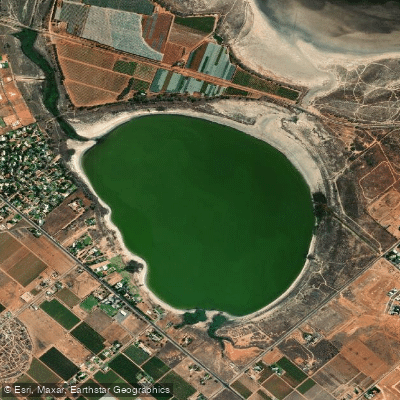
Lake Hawthorn
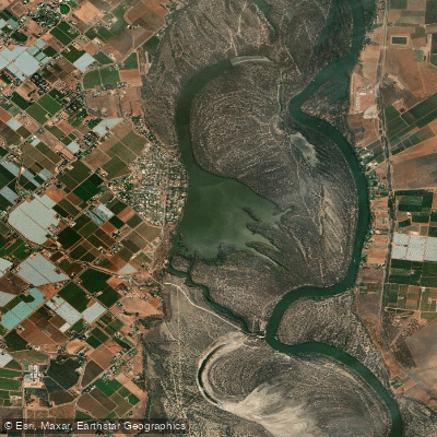
Kings Billabong
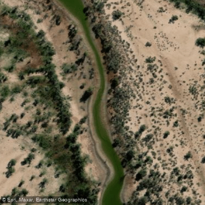
Wallpolla Creek
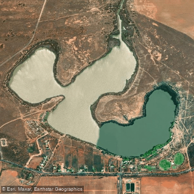
Lake Cullulleraine
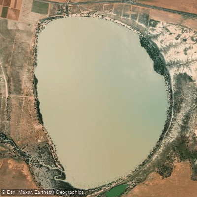
Lake Benanee
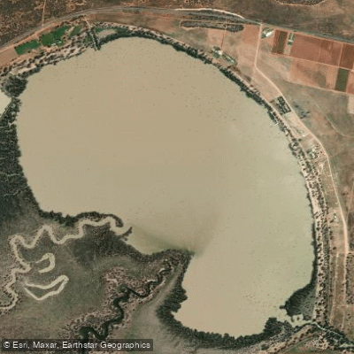
Dry Lake
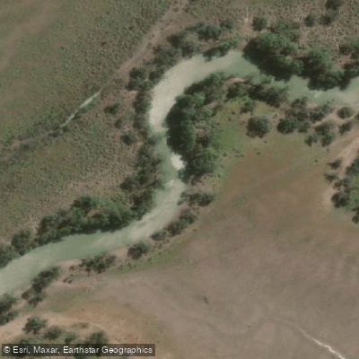
Potterwalkagee Creek
Explore New South Wales waters
Top paddling waters
No waters available right now.
Popular Cities
Loading popular cities...
Explore near Lake Menindee

Smarter Paddling Starts in the App.
Paddleways gives you everything you need to plan smarter, paddle better, and own every trip from first launch to takeout.