Mangrove Creek
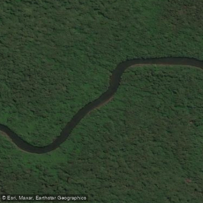
Mangrove Creek
- Boat Ramps
- 0
- Access Points
- 0
- Campsites
- 0
Mangrove Creek is a tidal estuary waterway located in New South Wales, Australia, accessible from the Clarence River. The primary access point for paddlers is the Chatsworth boat ramp on the Pacific Highway, which serves as a starting point for a popular route. From this ramp, paddlers head south to round the southern tip of Warregah Island, then proceed north along the "Back Channel." After passing under a bridge, a left turn leads into Mangrove Creek itself. The creek can be paddled for at least five kilometres inland, with faster paddlers able to explore further. A complete circumnavigation of Warregah Island, including a five-kilometre excursion up Mangrove Creek, totals approximately 23 kilometres, though paddlers can choose their own distance up the creek to tailor the trip length. Another concrete boat ramp, known as Spencer ramp, is located directly on Mangrove Creek at GPS coordinates -33.45795, 151.14718. This single-lane ramp provides estuary access and is not recorded as being tide-dependent. Facilities at the Spencer ramp include toilets. The overall character of the paddling experience involves exploring a backchannel and a mangrove-lined creek, with the route offering flexibility in distance. Paddlers should be aware that tidal conditions can significantly affect the experience, as evidenced by notes of paddling during low tide. While paddle sports like canoeing, kayaking, and stand-up paddleboarding are permitted, it is recommended to always check if a permit is required before embarking.
Water access, boat ramps & amenities
Learn how to get on Mangrove Creek. Uncover great paddling access points, boat ramps, and all the facilities you need for an unforgettable day on the water. Some locations shown may border or include private property. Always check property boundaries and applicable regulations before visiting. PaddleWays's Public & Private Land layer can help you plan your access with confidence.
Paddle smarter with real-time insights
Whether you're en route and conditions shift or you're looking for the best spot based on current flows, we enable you to make informed decisions on the fly.








Find Places to Paddle

Over 400,000 Places to Paddle
Every user gets free access to launch points, boat ramps, and public property parcels.


Water and weather conditions (10 day forecast)
See the best times to paddle Mangrove Creek and check the forecast before you go.
No forecast data available.
Paddling near Mangrove Creek
Hunter River
Lake Macquarie
Stockton Beach
Paterson River
Dora Creek
Port Stephens
Karuah River
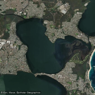
Budgewoi Lake
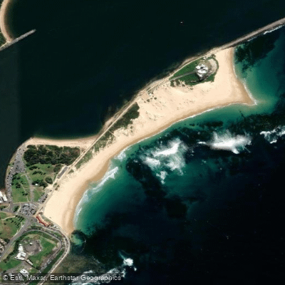
Nobbys Beach
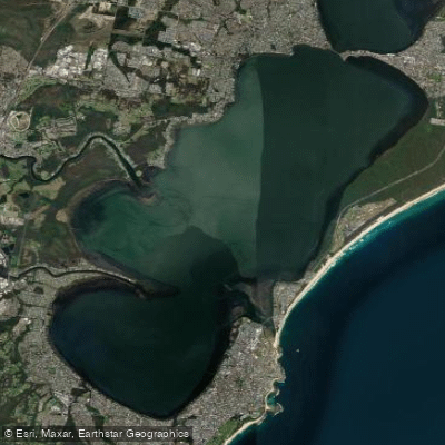
Tuggerah
Explore New South Wales waters
Top paddling waters
No waters available right now.
Popular Cities
Loading popular cities...
Explore near Mangrove Creek

Smarter Paddling Starts in the App.
Paddleways gives you everything you need to plan smarter, paddle better, and own every trip from first launch to takeout.