Myall River
Myall River
- Boat Ramps
- 9
- Access Points
- 0
- Campsites
- 2
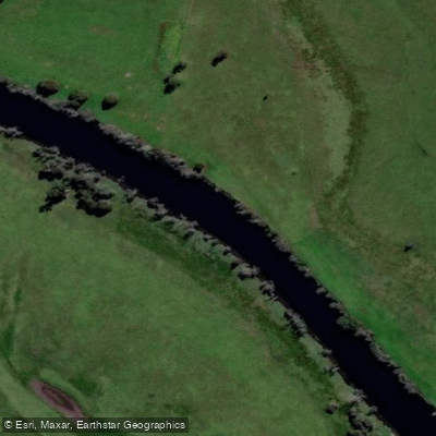
The Myall River is located on the mid-north coast of New South Wales, approximately three hours north of Sydney. The river originates in the Ghin-Doo-Ee National Park, where several tributaries join as it flows down through Bulahdelah to the Myall Lakes system at Bombah Broadwater. The lower section runs tidal for roughly 25 kilometres from Tamboy at the southern end of the lake system, southwest and nearly parallel to the coast to the open broadwater at Tea Gardens, then past Hawks Nest and into Port Stephens behind Corrie Island. The entire lower river passes through Myall Lakes National Park and the Great Lakes Marine Park, with the Myall Lakes system recognised as a Ramsar wetland of international significance.
The lower river is tidal, and tidal flows can take over three hours to move upstream — a high tide at Tea Gardens at 8am will result in a high tide around 11am or later at Tamboy, 24 kilometres upstream. There are many sandy shallows, particularly on the lower sections, and paddlers should follow the marked navigation channel carefully, especially at low tide. Open stretches such as Big Brasswater are exposed to westerly winds and can generate white-capped waves, making crossings slow and strenuous in strong conditions. The lakes are suitable for year-round paddling, though winter nights can be cold and strong westerly winds are a factor in that season.
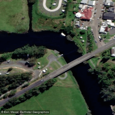
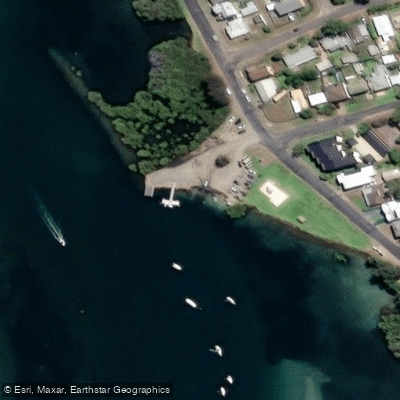
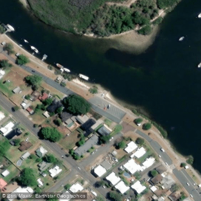
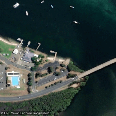
Access points include boat ramps at Tea Gardens and Hawks Nest, as well as Nerong, Mungo Brush, and Myall Shores on Bombah Broadwater. The Bulahdelah Wharf and Boat Ramp provides access on the upper river. There are no commercial facilities, food, or drinking water along the lower river corridor, so paddlers must be self-sufficient. The BIG4 River Myall Holiday Resort near Bulahdelah offers kayak and canoe hire directly on the river, and Lazy Paddles in Tea Gardens provides guided tours and multi-day hire on the lower river and lakes.
Wildlife along the river and lakes includes pelicans, black swans, sea eagles, whistling kites, cormorants, kangaroos, goannas, and dingoes. The landscape transitions between tall casuarinas, eucalyptus forest, mangrove islets, and open broadwater. The Myall Classic, an annual paddling race, uses the lower 25-kilometre tidal section from Tamboy to Tea Gardens, with Anzac Park in Tea Gardens serving as the start and finish.
Water access, boat ramps & amenities
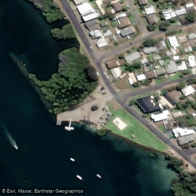
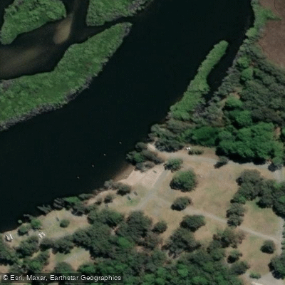
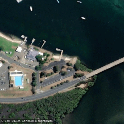
Learn how to get on Myall River. Uncover great paddling access points, boat ramps, and all the facilities you need for an unforgettable day on the water. Some locations shown may border or include private property. Always check property boundaries and applicable regulations before visiting. PaddleWays's Public & Private Land layer can help you plan your access with confidence.
Paddle smarter with real-time insights
Whether you're en route and conditions shift or you're looking for the best spot based on current flows, we enable you to make informed decisions on the fly.








Find Places to Paddle

Over 400,000 Places to Paddle
Every user gets free access to launch points, boat ramps, and public property parcels.


Water and weather conditions (10 day forecast)
See the best times to paddle Myall River and check the forecast before you go.
No forecast data available.
Paddling near Myall River
Hunter River
Lake Macquarie
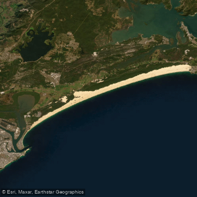
Stockton Beach
Paterson River
Dora Creek
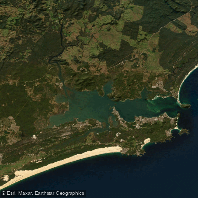
Port Stephens
Karuah River
Budgewoi Lake
Nobbys Beach
Tuggerah
Explore New South Wales waters
Top paddling waters
No waters available right now.
Popular Cities
Loading popular cities...
Explore near Myall River
Access points
Nearby waters
More in New South Wales

Smarter Paddling Starts in the App.
Paddleways gives you everything you need to plan smarter, paddle better, and own every trip from first launch to takeout.