Nerong Creek
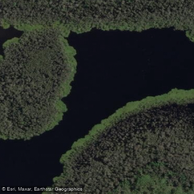
Nerong Creek
- Boat Ramps
- 0
- Access Points
- 0
- Campsites
- 0
Nerong Creek is a deep, wide tidal creek located within the Myall Lakes system in New South Wales, approximately 30km north of the Karuah River bridge along the Pacific Highway. The creek connects to Bombah Broadwater and serves as a primary access point into the broader Myall Lakes waterway. Water depth runs to approximately 2.5 metres, and the water is notably dark — almost black — from mud. The shoreline is generally rocky and described as unfriendly, offering limited spots to pull out along the creek itself.
The main put-in is at the public concrete boat ramp at the end of Egret Street in Nerong, reached by turning off the Pacific Highway onto Whimbrel Drive (signposted to Nerong) and following it to Egret Street. Parking at the ramp is limited. A small floating concrete wharf is also available across from the boat ramp, suitable for vessels up to 7 metres, accessed via the park at the end of Heron Street. Public toilets are available at the public hall on Redbill Road at the top of the inlet.
A popular multi-day route begins at Nerong, paddling out of Nerong Inlet into the Broadwater, then continuing down to Myall Lake, crossing to Mungo Brush Camping Ground, and eventually paddling back to the Myall River entrance and out to Tea Gardens — a total trip length of approximately 40km over two days with a 30km shuttle. The route is graded S01 average with a highest grade of S02, and no portages are required. Paddlers should be aware of tidal conditions, particularly on the open water sections and at the Tea Gardens end, where strong tidal currents can be encountered. The 4pm bus from Tea Gardens back to Nerong is a practical option for avoiding car shuttles.
The broader Myall Lakes area supports abundant birdlife and resident wildlife including goannas and possums at campsites. Ample parking and camping is available at Violet Hill and Mungo Brush, both maintained by NSW National Parks and Wildlife Service, with vehicle permits required at those locations. A small fee applies for camping. The creek itself is a quiet waterway, and once out on the Broadwater and Myall Lakes, paddlers move through diverse scenery ranging from open farmland to dense natural forest.
Water access, boat ramps & amenities
Learn how to get on Nerong Creek. Uncover great paddling access points, boat ramps, and all the facilities you need for an unforgettable day on the water. Some locations shown may border or include private property. Always check property boundaries and applicable regulations before visiting. PaddleWays's Public & Private Land layer can help you plan your access with confidence.
Paddle smarter with real-time insights
Whether you're en route and conditions shift or you're looking for the best spot based on current flows, we enable you to make informed decisions on the fly.








Find Places to Paddle

Over 400,000 Places to Paddle
Every user gets free access to launch points, boat ramps, and public property parcels.


Water and weather conditions (10 day forecast)
See the best times to paddle Nerong Creek and check the forecast before you go.
No forecast data available.
Paddling near Nerong Creek
Hunter River
Lake Macquarie
Stockton Beach
Paterson River
Dora Creek
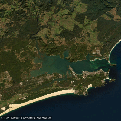
Port Stephens
Karuah River
Budgewoi Lake
Nobbys Beach
Tuggerah
Explore New South Wales waters
Top paddling waters
No waters available right now.
Popular Cities
Loading popular cities...
Explore near Nerong Creek

Smarter Paddling Starts in the App.
Paddleways gives you everything you need to plan smarter, paddle better, and own every trip from first launch to takeout.