Blue Mud Bay
- Saltwater
- Estuary
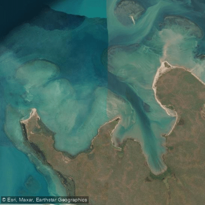
Blue Mud Bay
- Saltwater
- Estuary
- Sq. miles
- 14
- Boat Ramps
- 0
- Access Points
- 0
- Campsites
- 0
Blue Mud Bay is a large coastal bay located on the east coast of Arnhem Land in the Northern Territory, Australia, approximately 250 kilometers from Maningrida. The bay holds profound cultural significance for the Yolngu people, with its described as ceremonial. The region is characterized by interconnected kin-based systems and clan homelands. A key legal precedent, the 2008 High Court "Blue Mud Bay" decision, established that Aboriginal land rights extend through the intertidal zone overlying Aboriginal land. This means the vast majority of the Northern Territory coastline, including the waters of Blue Mud Bay, cannot be accessed without permission from the relevant Traditional Owners and Land Councils. For paddlers, this translates to a critical access restriction; entering these waters for any purpose, including paddling, requires explicit permission. The Dholuwuy Recreation Area is identified as a large camping area on the shores of Blue Mud Bay, located 17 kilometers from the Baniyala (Yilpara) community, which could potentially serve as a reference point for access. The traditional lippa-lippa canoe is native to this area, indicating a long history of paddling on these waters. The overall character of a paddling experience here would be deeply immersed in Indigenous cultural landscape, with movement across the bay connected to ancestral narratives and contemporary clan relationships.
Water access, boat ramps & amenities
Learn how to get on Blue Mud Bay. Uncover great paddling access points, boat ramps, and all the facilities you need for an unforgettable day on the water. Some locations shown may border or include private property. Always check property boundaries and applicable regulations before visiting. PaddleWays's Public & Private Land layer can help you plan your access with confidence.
Paddle smarter with real-time insights
Whether you're en route and conditions shift or you're looking for the best spot based on current flows, we enable you to make informed decisions on the fly.







Northern Territory licenses and regulations

Find Places to Paddle

Over 400,000 Places to Paddle
Every user gets free access to launch points, boat ramps, and public property parcels.


Tides, wind & water conditions (10 day forecast)
On open water, wind and tide matter as much as the weather. See the best times to paddle Blue Mud Bay and check the marine forecast before you launch.
Loading tide predictions…
Paddling near Blue Mud Bay
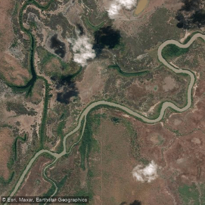
Adelaide River
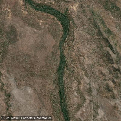
Mary River
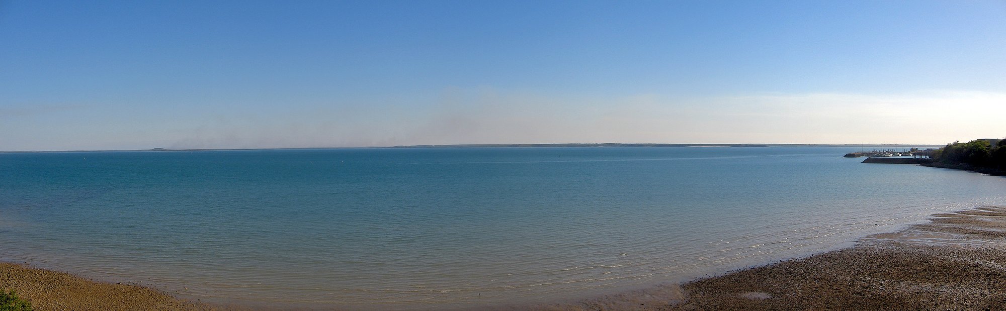
Darwin Harbour
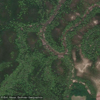
Ludmilla Creek
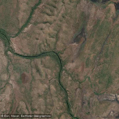
Finnis River
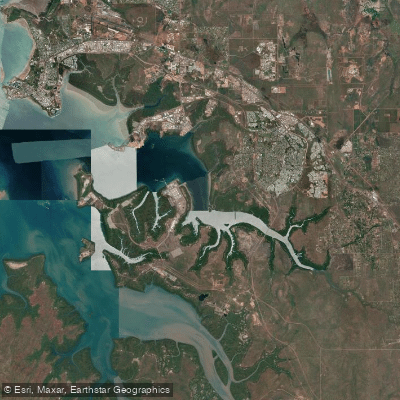
East Arm
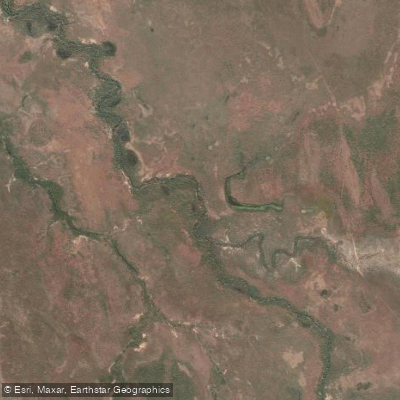
Margaret River
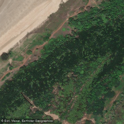
Sandy Creek
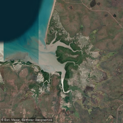
Hope Inlet
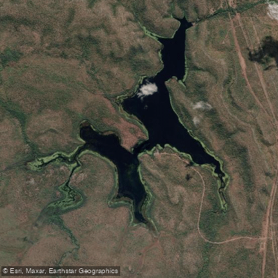
Manton Dam
Explore Northern Territory waters
Top paddling waters
No waters available right now.
Popular Cities
Loading popular cities...
Explore near Blue Mud Bay
Nearby waters
More in Northern Territory

Smarter Paddling Starts in the App.
Paddleways gives you everything you need to plan smarter, paddle better, and own every trip from first launch to takeout.