Flora River
Flora River
- Boat Ramps
- 0
- Access Points
- 0
- Campsites
- 1
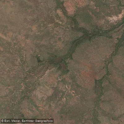
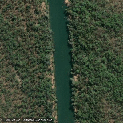
The Flora River flows through the Katherine Region of the Northern Territory, located roughly 70 kilometres west of Katherine. The river is entirely spring-fed, which gives the water a distinctive aqua colour unlike typical Territory waterways. It flows through Flora River Nature Park before eventually joining the Katherine River, at which point it becomes the Daly River.
The primary put-in is at Kathleen Falls, which serves as the park campground. Access to this point requires travelling approximately 20 kilometres of rough bulldust track, making a high-clearance four-wheel-drive vehicle essential. A car shuffle is necessary for through-trips, which adds considerable logistical complexity, particularly for larger groups.
A multi-day route paddling from Kathleen Falls to the junction with the Katherine River has been completed as a three-day trip with two nights of camping. The river features tufa dams — natural calcium carbonate formations — that require paddlers to exit their boats and either portage or carefully lower craft over the drops. The waterfall at one campsite along the route also required lowering canoes. Exit points along the river are limited, so paddlers should plan accordingly and carry sufficient supplies between known stopping points.
The Kathleen Falls area provides a notable backdrop at the start of the trip, with multiple waterfalls visible from the water. Wildlife in the park includes barramundi, and the area is noted for its natural character. Walking tracks exist within the park, though conditions can be overgrown. Camping facilities are available at the park campground near the put-in.
Water access, boat ramps & amenities
Learn how to get on Flora River. Uncover great paddling access points, boat ramps, and all the facilities you need for an unforgettable day on the water. Some locations shown may border or include private property. Always check property boundaries and applicable regulations before visiting. PaddleWays's Public & Private Land layer can help you plan your access with confidence.
Paddle smarter with real-time insights
Whether you're en route and conditions shift or you're looking for the best spot based on current flows, we enable you to make informed decisions on the fly.







Northern Territory licenses and regulations

Find Places to Paddle

Over 400,000 Places to Paddle
Every user gets free access to launch points, boat ramps, and public property parcels.


Water and weather conditions (10 day forecast)
See the best times to paddle Flora River and check the forecast before you go.
Flora River - U/S Stoney Crk
All Flow Stations
Explore Northern Territory waters
Top paddling waters
No waters available right now.
Popular Cities
Loading popular cities...
Explore near Flora River
Access points
More in Northern Territory

Smarter Paddling Starts in the App.
Paddleways gives you everything you need to plan smarter, paddle better, and own every trip from first launch to takeout.