King River
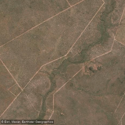
King River
- Boat Ramps
- 0
- Access Points
- 0
- Campsites
- 0
The King River is a tributary of the Daly River in the Northern Territory. The best time to plan a paddling trip is during August and early September, when the probability of being able to paddle is greater than 80%. Beyond this seasonal window, specific information on access points, routes, hazards, water conditions, or facilities for paddlers is not available. The river ultimately flows into the Timor Sea.
Water access, boat ramps & amenities
Learn how to get on King River. Uncover great paddling access points, boat ramps, and all the facilities you need for an unforgettable day on the water. Some locations shown may border or include private property. Always check property boundaries and applicable regulations before visiting. PaddleWays's Public & Private Land layer can help you plan your access with confidence.
Paddle smarter with real-time insights
Whether you're en route and conditions shift or you're looking for the best spot based on current flows, we enable you to make informed decisions on the fly.







Northern Territory licenses and regulations

Find Places to Paddle

Over 400,000 Places to Paddle
Every user gets free access to launch points, boat ramps, and public property parcels.


Water and weather conditions (10 day forecast)
See the best times to paddle King River and check the forecast before you go.
King River - D/S Victoria Hwy
All Flow Stations
Explore Northern Territory waters
Top paddling waters
No waters available right now.
Popular Cities
Loading popular cities...
Explore near King River
More in Northern Territory

Smarter Paddling Starts in the App.
Paddleways gives you everything you need to plan smarter, paddle better, and own every trip from first launch to takeout.