Middle Arm
- Saltwater
- Estuary
Middle Arm
- Saltwater
- Estuary
- Sq. miles
- 47
- Boat Ramps
- 1
- Access Points
- 0
- Campsites
- 0
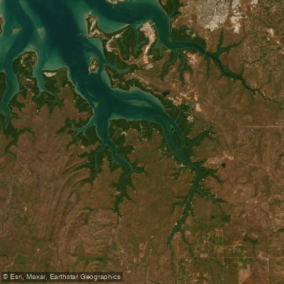
Middle Arm is a saltwater estuary forming part of Darwin Harbour, located near Darwin in the Northern Territory's Litchfield Municipality. The primary access point for paddlers is the Middle Arm boat ramp, situated at the end of Middle Arm Road approximately 15 kilometres from Cox Peninsula Road. This ramp provides tidal access for most tides, though difficulties may be encountered on extreme low water, a critical consideration for planning launch and retrieval times. The area is subject to significant industrial expansion plans, indicating the presence of related maritime traffic. The wider region is known for its proximity to natural attractions like the Territory Wildlife Park and Litchfield National Park, suggesting a landscape where developed infrastructure borders natural bushland. As a substantial arm of Darwin Harbour, paddlers can expect a large, open saltwater environment with significant exposure to wind and tidal currents typical of a tropical harbour. The tidal range is substantial, necessitating careful trip timing to avoid being stranded at low tide. Specific hazards include potential boat traffic from both recreational and industrial users. The aesthetic is that of a working harbour with coastal mangroves, distinct from the freshwater river systems found inland in Litchfield.
Water access, boat ramps & amenities
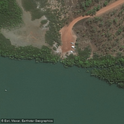
Learn how to get on Middle Arm. Uncover great paddling access points, boat ramps, and all the facilities you need for an unforgettable day on the water. Some locations shown may border or include private property. Always check property boundaries and applicable regulations before visiting. PaddleWays's Public & Private Land layer can help you plan your access with confidence.
Paddle smarter with real-time insights
Whether you're en route and conditions shift or you're looking for the best spot based on current flows, we enable you to make informed decisions on the fly.







Northern Territory licenses and regulations

Find Places to Paddle

Over 400,000 Places to Paddle
Every user gets free access to launch points, boat ramps, and public property parcels.


Tides, wind & water conditions (10 day forecast)
On open water, wind and tide matter as much as the weather. See the best times to paddle Middle Arm and check the marine forecast before you launch.
Loading tide predictions…
Paddling near Middle Arm
Adelaide River
Mary River
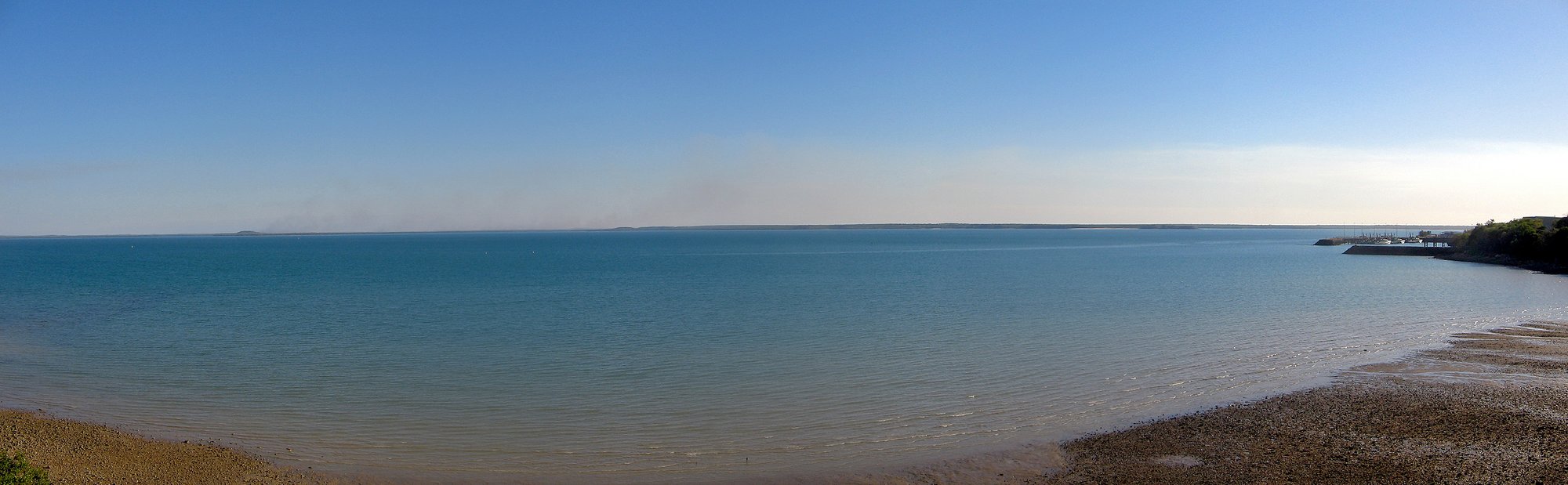
Darwin Harbour
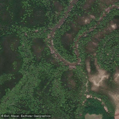
Ludmilla Creek
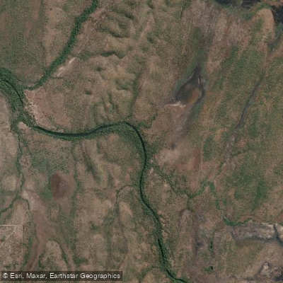
Finnis River
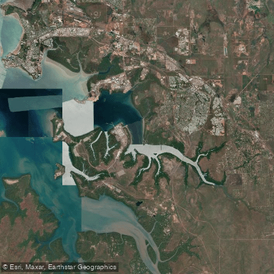
East Arm
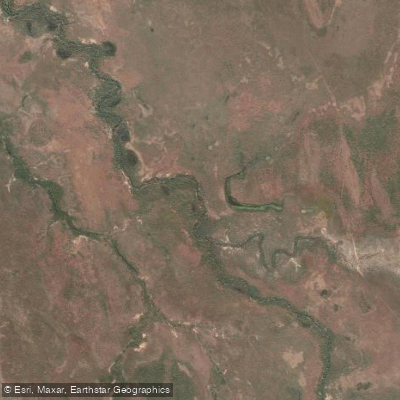
Margaret River
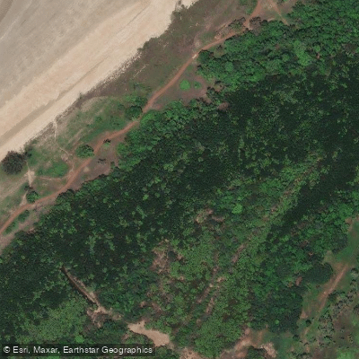
Sandy Creek
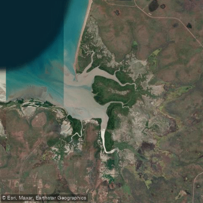
Hope Inlet
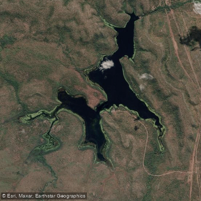
Manton Dam
Explore Northern Territory waters
Top paddling waters
No waters available right now.
Popular Cities
Loading popular cities...
Explore near Middle Arm
Access points
Nearby waters
More in Northern Territory

Smarter Paddling Starts in the App.
Paddleways gives you everything you need to plan smarter, paddle better, and own every trip from first launch to takeout.