Port Essington
- Saltwater
- Estuary
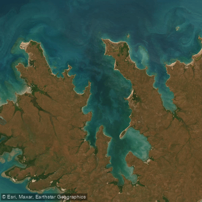
Port Essington
- Saltwater
- Estuary
- Sq. miles
- 140
- Boat Ramps
- 0
- Access Points
- 0
- Campsites
- 0
Port Essington is a large, historically significant estuary on the Cobourg Peninsula in Arnhem Land, Northern Territory. The primary access for paddlers is by boat, as the area is remote and the only way to reach key landmarks like the Victoria Settlement ruins is via the water. A typical launch point for exploration is from an anchorage near Black Point, which is close to a ranger station. The estuary features a complex coastline with mangrove creeks, beaches, and rocky headlands. Paddlers should be acutely aware that this is a saltwater environment in northern Australia with significant tidal influence; one account notes the challenge of paddling a boat's stern into the sea, indicating strong currents and potential for rough conditions. Wind can be a factor, with gusts noted even within the sheltered anchorage. The area is exposed, with Smith Point having a hazardous ledge of rocks that breaks a mile from shore, creating a surf zone and a major navigational hazard for any paddling near open waters. The overall character is one of isolation and wilderness, within a protected park that limits visitor numbers to preserve its ecological and cultural value. Wildlife includes fish populations in the upper reaches of the bay, and the area holds deep historical significance, from its Macassan name Limbo Cardja to its role as a 19th-century British military outpost. There are no specific paddling restrictions mentioned, but general park rules for boating apply. Due to the remote location, facilities are extremely limited, and paddlers must be entirely self-sufficient, with all trips requiring careful planning around tides, wind, and the potential for crocodiles in this region.
Water access, boat ramps & amenities
Learn how to get on Port Essington. Uncover great paddling access points, boat ramps, and all the facilities you need for an unforgettable day on the water. Some locations shown may border or include private property. Always check property boundaries and applicable regulations before visiting. PaddleWays's Public & Private Land layer can help you plan your access with confidence.
Paddle smarter with real-time insights
Whether you're en route and conditions shift or you're looking for the best spot based on current flows, we enable you to make informed decisions on the fly.







Northern Territory licenses and regulations

Find Places to Paddle

Over 400,000 Places to Paddle
Every user gets free access to launch points, boat ramps, and public property parcels.


Tides, wind & water conditions (10 day forecast)
On open water, wind and tide matter as much as the weather. See the best times to paddle Port Essington and check the marine forecast before you launch.
Loading tide predictions…
Paddling near Port Essington
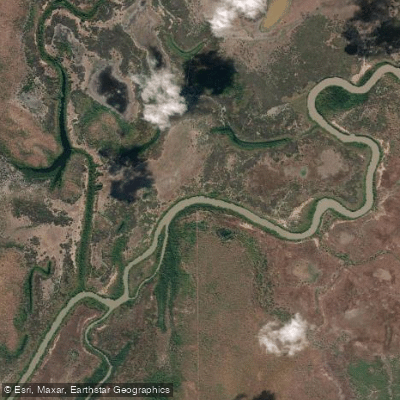
Adelaide River
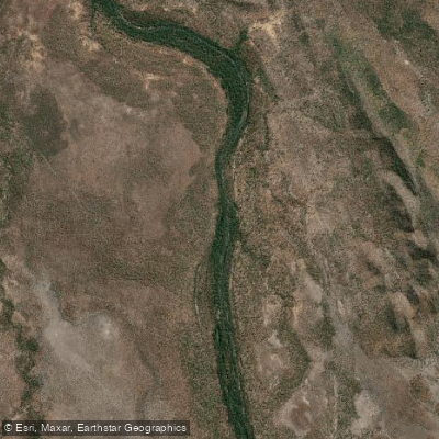
Mary River
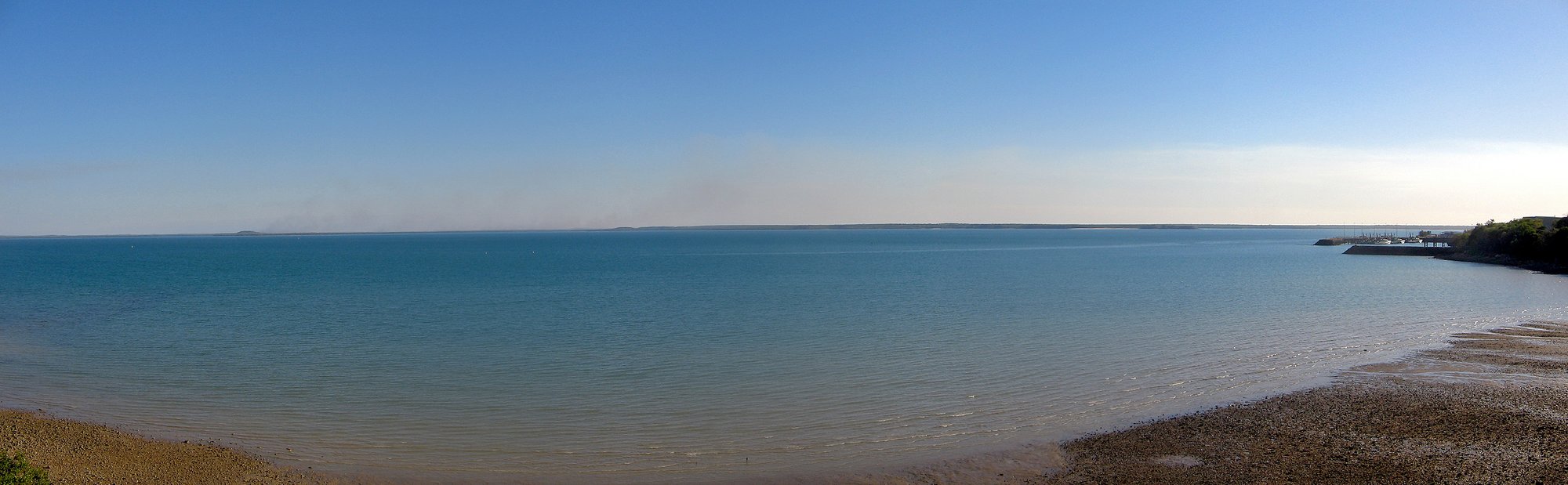
Darwin Harbour
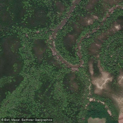
Ludmilla Creek
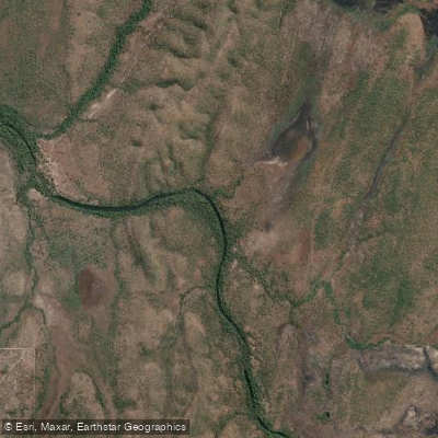
Finnis River
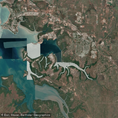
East Arm
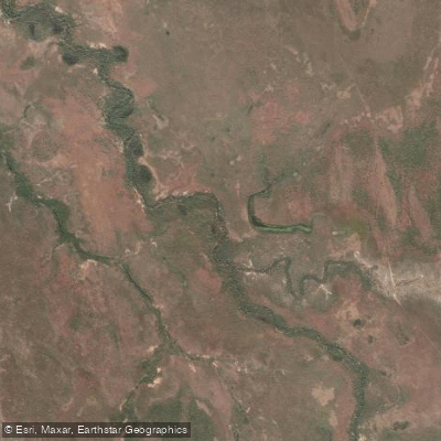
Margaret River
Sandy Creek
Hope Inlet
Manton Dam
Explore Northern Territory waters
Top paddling waters
No waters available right now.
Popular Cities
Loading popular cities...
Explore near Port Essington
Nearby waters
More in Northern Territory

Smarter Paddling Starts in the App.
Paddleways gives you everything you need to plan smarter, paddle better, and own every trip from first launch to takeout.