Sampan Creek
- Saltwater
- Estuary
Sampan Creek
- Saltwater
- Estuary
- Sq. miles
- 7.9
- Boat Ramps
- 0
- Access Points
- 0
- Campsites
- 0
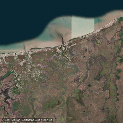
Sampan Creek is a tidal saltwater estuary within the Mary River system in the Northern Territory. It flows from the Shady Camp barrage into Chambers Bay and the Van Diemen Gulf, providing a navigable passage for boat traffic. The primary and only confirmed launch point for paddlers is the boat ramp at Shady Camp, which provides access to the saltwater side of the Mary River and Sampan Creek. Launching here is totally tide-dependent, requiring careful timing with the tidal cycle. The creek features vast mangrove-lined banks and channels. The overall character is one of a remote, wild tidal waterway with significant and ever-present hazards. The most critical safety consideration is the presence of large saltwater crocodiles, which inhabit the banks and waters. Extreme caution and constant vigilance are mandatory, and paddlers should never wade or stand close to the water's edge. The area is also exposed to open coastal conditions near its mouth, where it meets Chambers Bay and the Arafura Sea. Tides are a dominant factor for any activity; neap tides are a period when fishing activities occur near the creek mouth, indicating tidal flow is a primary consideration for navigation. The creek is used by powerboats, particularly from February to May, when fishing activity is high. There are seasonal fishing restrictions; the tidal section of the Mary River below the Shady Camp barrage is closed to fishing from October 1 to January 31, and special rules apply within 100 meters of the barrage itself. While paddling may not be prohibited, these regulations indicate managed use. The surrounding area is part of the Mary River National Park. The aesthetic is defined by pristine, mangrove-fringed tidal passages leading to open coastal waters.
Water access, boat ramps & amenities
Learn how to get on Sampan Creek. Uncover great paddling access points, boat ramps, and all the facilities you need for an unforgettable day on the water. Some locations shown may border or include private property. Always check property boundaries and applicable regulations before visiting. PaddleWays's Public & Private Land layer can help you plan your access with confidence.
Paddle smarter with real-time insights
Whether you're en route and conditions shift or you're looking for the best spot based on current flows, we enable you to make informed decisions on the fly.







Northern Territory licenses and regulations

Find Places to Paddle

Over 400,000 Places to Paddle
Every user gets free access to launch points, boat ramps, and public property parcels.


Tides, wind & water conditions (10 day forecast)
On open water, wind and tide matter as much as the weather. See the best times to paddle Sampan Creek and check the marine forecast before you launch.
Loading tide predictions…
Paddling near Sampan Creek
Adelaide River
Mary River
Darwin Harbour
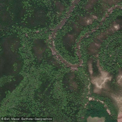
Ludmilla Creek
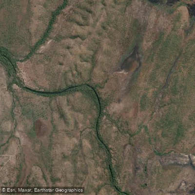
Finnis River
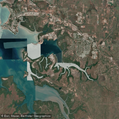
East Arm
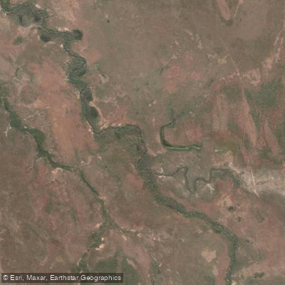
Margaret River
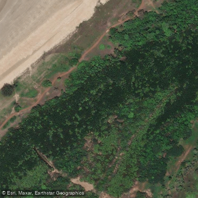
Sandy Creek
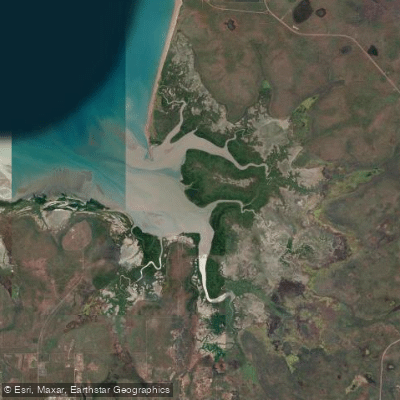
Hope Inlet
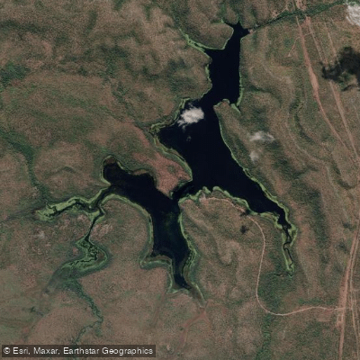
Manton Dam
Explore Northern Territory waters
Top paddling waters
No waters available right now.
Popular Cities
Loading popular cities...
Explore near Sampan Creek
Nearby waters
More in Northern Territory

Smarter Paddling Starts in the App.
Paddleways gives you everything you need to plan smarter, paddle better, and own every trip from first launch to takeout.