South Aligator River
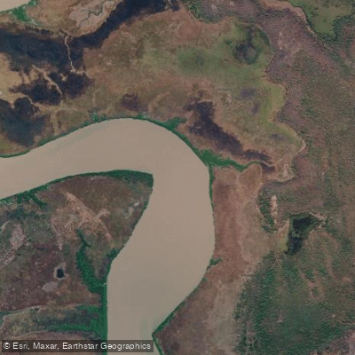
South Aligator River
- Boat Ramps
- 1
- Access Points
- 0
- Campsites
- 0
The South Alligator River runs approximately 160 kilometres through the heart of Kakadu National Park in the Northern Territory of Australia. Rising near Mount Stow on the Arnhem Land Plateau, it flows northwesterly before emptying into the Van Diemen Gulf of the Timor Sea. Its catchment area covers 11,917 square kilometres. The entire river and its catchment are contained within Kakadu National Park, which holds dual UNESCO World Heritage listing for both its natural and cultural values.
The primary access point for boating and paddling is located near the South Alligator Bridge on the Arnhem Highway, where a boat ramp, picnic tables, and fish cleaning facilities are available. The nearby Aurora South Alligator (formerly Kakadu Resort) provides fuel, a general store, meals, and other amenities. Paddlers heading downstream toward the river mouth should be aware of mud banks and sandbars that extend into the river, which can cause vessels to become stranded at low tide. The trip to the river mouth is described as a long journey requiring appropriate safety gear and a suitably sized vessel.
The most significant safety concern on the South Alligator River is the presence of saltwater crocodiles. Crocodile warning signs are posted throughout the area and must be observed. This is a genuine hazard that demands constant vigilance near and on the water.
The dry season is the primary period for accessing the river and surrounding areas. During the dry season, 4WD tracks open to remote locations such as Two Mile Hole, Four Mile Hole, and Red Lily Billabong, which offer additional boating and bird-watching opportunities. Barramundi fishing is active from February to November, with the run-off season of February to April considered the most productive period, coinciding with the wet-to-dry transition.
The river flows through a landscape of exceptional biological richness, regarded as one of the most diverse in Australia. The adjacent Mamukala wetlands support a wide variety of birdlife, observable from a dedicated platform and dry-season walking track. The broader Alligator Rivers region also contains over 1,500 Aboriginal rock art sites, reflecting deep cultural and historical significance. Camping is permitted in designated areas only.
Water access, boat ramps & amenities
Learn how to get on South Aligator River. Uncover great paddling access points, boat ramps, and all the facilities you need for an unforgettable day on the water. Some locations shown may border or include private property. Always check property boundaries and applicable regulations before visiting. PaddleWays's Public & Private Land layer can help you plan your access with confidence.
Paddle smarter with real-time insights
Whether you're en route and conditions shift or you're looking for the best spot based on current flows, we enable you to make informed decisions on the fly.







Northern Territory licenses and regulations

Find Places to Paddle

Over 400,000 Places to Paddle
Every user gets free access to launch points, boat ramps, and public property parcels.


Water and weather conditions (10 day forecast)
See the best times to paddle South Aligator River and check the forecast before you go.
No forecast data available.
Paddling near South Aligator River
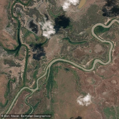
Adelaide River
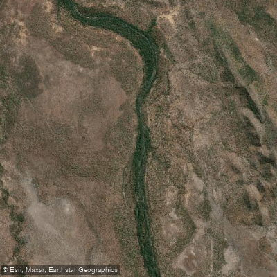
Mary River
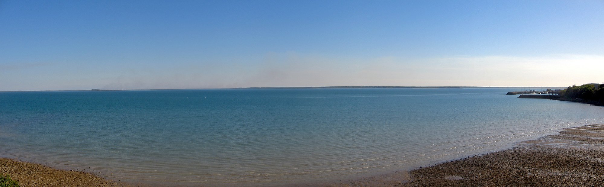
Darwin Harbour
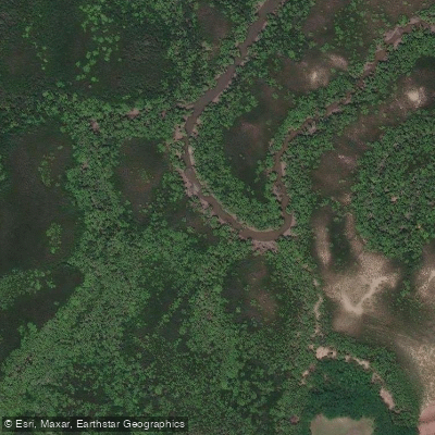
Ludmilla Creek
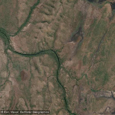
Finnis River
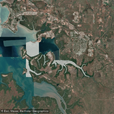
East Arm
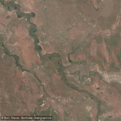
Margaret River
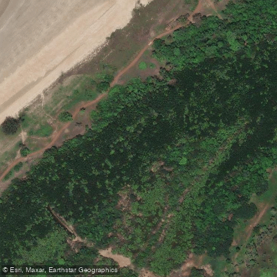
Sandy Creek
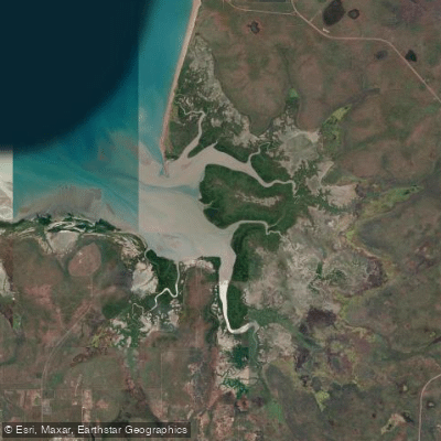
Hope Inlet
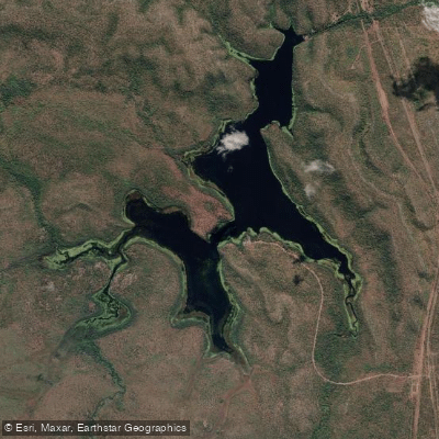
Manton Dam
Explore Northern Territory waters
Top paddling waters
No waters available right now.
Popular Cities
Loading popular cities...
Explore near South Aligator River
Access points
Nearby waters
More in Northern Territory

Smarter Paddling Starts in the App.
Paddleways gives you everything you need to plan smarter, paddle better, and own every trip from first launch to takeout.