Trepang Bay
- Saltwater
- Estuary
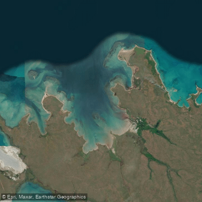
Trepang Bay
- Saltwater
- Estuary
- Sq. miles
- 49
- Boat Ramps
- 0
- Access Points
- 0
- Campsites
- 0
Trepang Bay is a coastal bay on the Cobourg Peninsula within the Garig Gunak Barlu Marine Park in the Northern Territory. The bay is part of a remote marine park environment, characterized by low-lying land and exposure to open ocean conditions. The entrance to Trepang Bay features reefs, indicated by breakers off its eastern side, which create a potential surf zone and a significant hazard for paddlers entering or exiting. This area is exposed to westerly winds, offering little shelter from that direction, and is subject to strong tidal currents, which can significantly impede progress for vessels, including paddled craft. The tidal flow can run hard enough to reduce forward speed to less than a mile in twenty minutes even with mechanical assistance, indicating that paddlers must carefully plan their transit to work with the tide, not against it.
The bay holds historical significance related to Macassan trepang (sea cucumber) fishermen, who conducted seasonal forays and left behind dugout canoes, and it was also noted by early European settlement expeditions from the Victoria Settlement at Port Essington. Paddling here is a remote expedition undertaking, suitable only for experienced paddlers prepared for open water crossings, variable monsoon winds—including northwesterlies in the wet season and southeasterly trade winds—and the need for precise tidal navigation. The surrounding area is part of a protected marine park, so visitors should be aware of and comply with all park regulations regarding access and activities.
Water access, boat ramps & amenities
Learn how to get on Trepang Bay. Uncover great paddling access points, boat ramps, and all the facilities you need for an unforgettable day on the water. Some locations shown may border or include private property. Always check property boundaries and applicable regulations before visiting. PaddleWays's Public & Private Land layer can help you plan your access with confidence.
Paddle smarter with real-time insights
Whether you're en route and conditions shift or you're looking for the best spot based on current flows, we enable you to make informed decisions on the fly.







Northern Territory licenses and regulations

Find Places to Paddle

Over 400,000 Places to Paddle
Every user gets free access to launch points, boat ramps, and public property parcels.


Tides, wind & water conditions (10 day forecast)
On open water, wind and tide matter as much as the weather. See the best times to paddle Trepang Bay and check the marine forecast before you launch.
Loading tide predictions…
Paddling near Trepang Bay
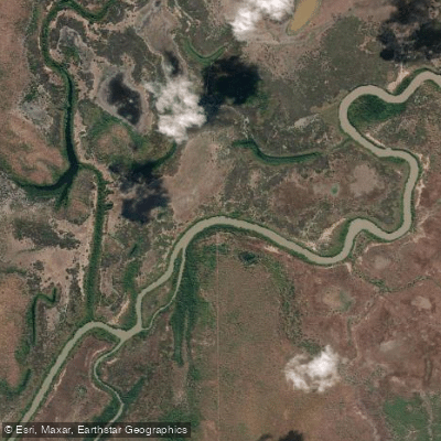
Adelaide River
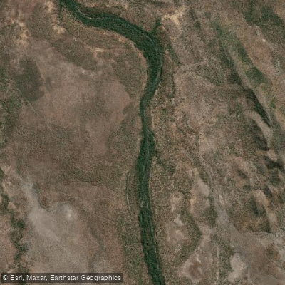
Mary River
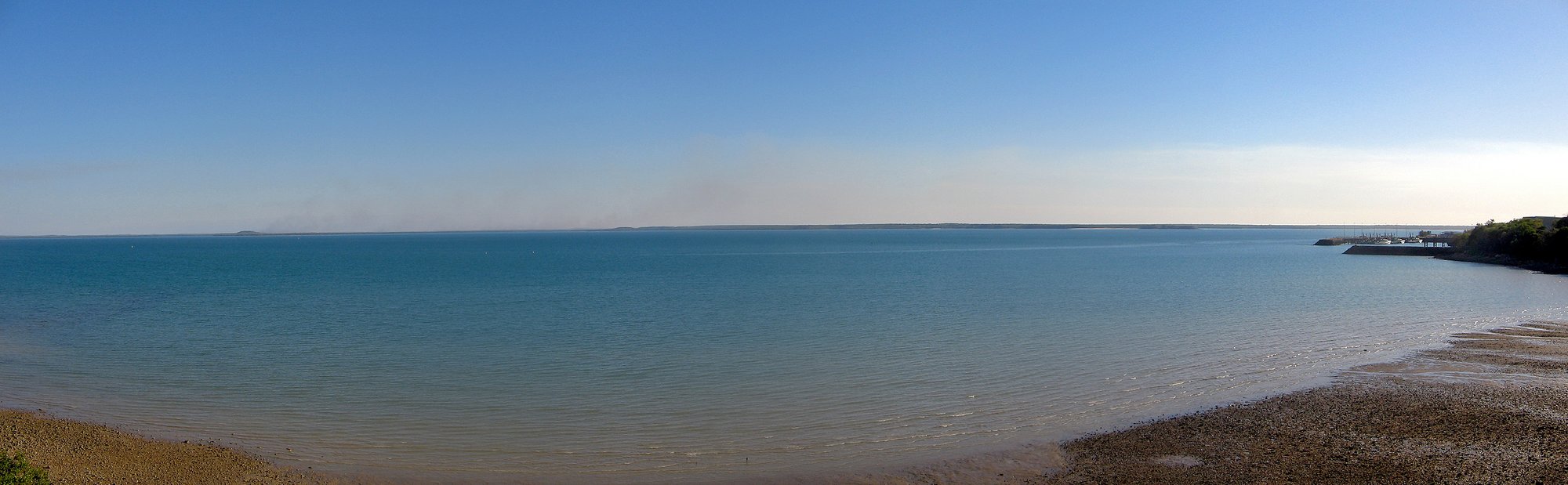
Darwin Harbour
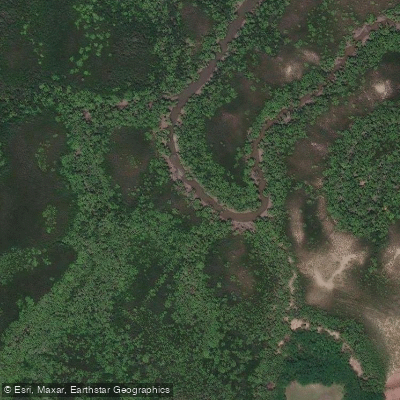
Ludmilla Creek
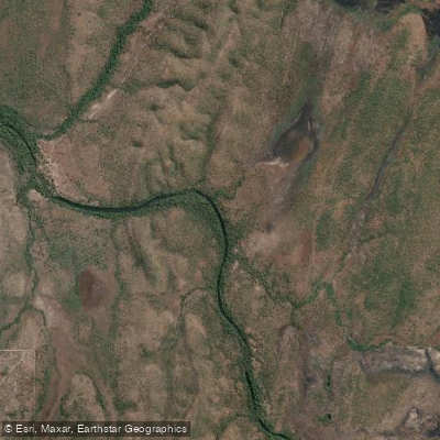
Finnis River
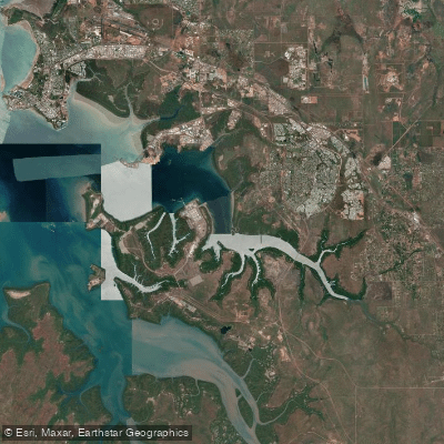
East Arm
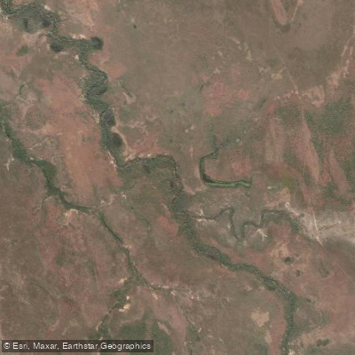
Margaret River
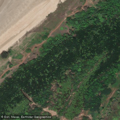
Sandy Creek
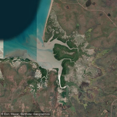
Hope Inlet
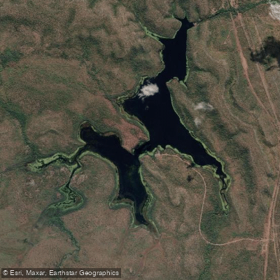
Manton Dam
Explore Northern Territory waters
Top paddling waters
No waters available right now.
Popular Cities
Loading popular cities...
Explore near Trepang Bay
Nearby waters
More in Northern Territory

Smarter Paddling Starts in the App.
Paddleways gives you everything you need to plan smarter, paddle better, and own every trip from first launch to takeout.