Paddling in Coorong National Park
- National Park
- Lakes
- 6
- Rivers
- 0
- Access
- 0
- Boat Ramps
- 6
- Shops
- 0
The Coorong is a long, narrow saline lagoon running roughly 140 kilometres along the south-east coast of South Australia, separated from the Southern Ocean by the sand dunes of the Younghusband Peninsula.
The park sits about 200 kilometres south-east of Adelaide and takes in the lagoon itself, the Murray Mouth, and the surrounding wetland system where freshwater and saltwater meet.
This is flatwater paddling — no current to speak of, no whitewater — but the scale and exposure demand real attention to conditions. The lagoon is the defining water here.
Sheltered bays along its length give paddlers room to read the wind before committing to open crossings, and the northern end near the Murray Mouth and Goolwa sees the most traffic.
The Parnka Point area sits further into the lagoon; this section is not tidal, and winter months bring the water depth needed to paddle it reliably. That seasonal detail matters — plan accordingly.
Camping is permitted inside the park, but a permit is required before you go. Fires are not permitted anywhere in the park. Both rules are worth confirming with Parks SA before departure, as conditions and requirements can change.
The Coorong is a Ramsar-listed wetland and home to over 230 migratory bird species, as well as breeding colonies of Australian pelicans. Paddling here puts you inside that ecosystem, not alongside it.
Low-impact travel — packing out all waste, giving wildlife a wide berth — is the baseline, not an afterthought. Wind is the variable that shapes every trip on this water.
The lagoon's length and orientation leave it exposed, and conditions can change faster than the flat surface suggests. Go with local knowledge if you don't have your own.
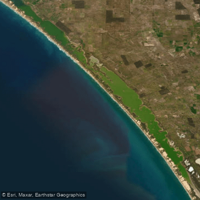
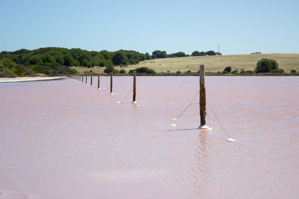
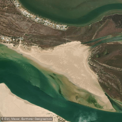
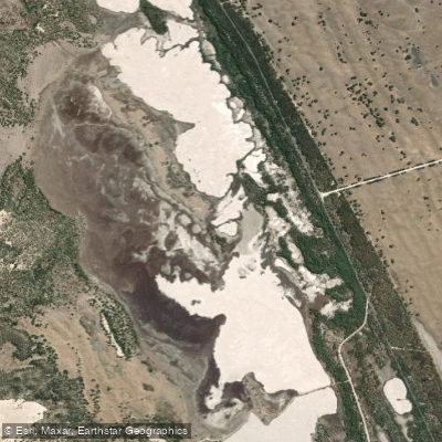
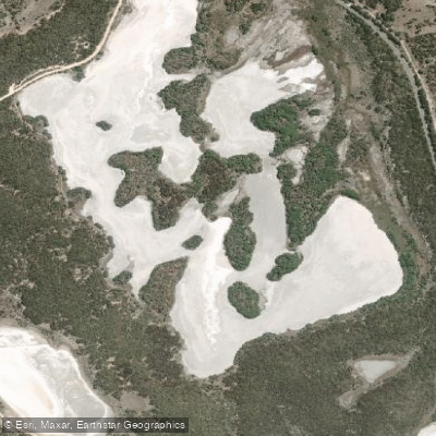
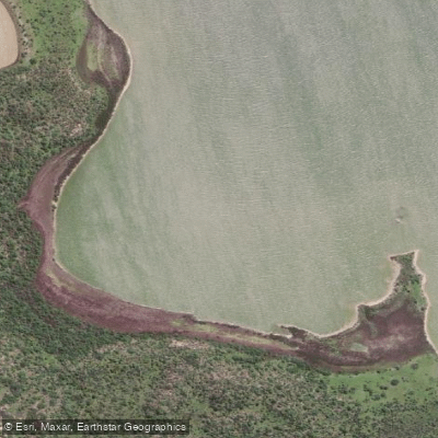
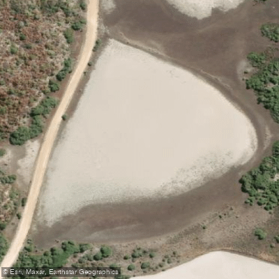
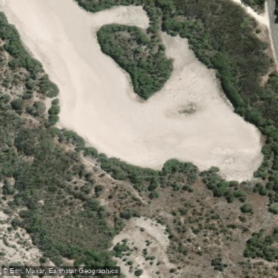
Top waters to paddle near Coorong National Park
Water and weather conditions (10 day forecast)
See the best times to paddle Coorong National Park and check the forecast before you go.
No forecast data available.
Paddle smarter with real-time insights
Whether you're en route and conditions shift or you're looking for the best spot based on current flows, we enable you to make informed decisions on the fly.







Paddling near Coorong National Park
Loading...
Gateway towns
Where to base yourself for paddling in Coorong National Park.
- MeningieSouth Australia
The main gateway town on the northern end of the park, with accommodation, dining, boat ramps, and access to Coorong Country.
- Kingston SESouth Australia
Serves as the southern access point to the park, with accommodation and services for visitors approaching from the Limestone Coast end.
- Salt CreekSouth Australia
Small settlement within the Coorong region offering a stopping point along the park's length on the Princes Highway.
Explore Coorong National Park
Top paddling waters
Popular Cities
Loading popular cities...

Smarter Paddling Starts in the App.
Paddleways gives you everything you need to plan smarter, paddle better, and own every trip from first launch to takeout.