The Coorong
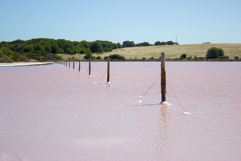
The Coorong
- Boat Ramps
- 5
- Access Points
- 0
- Campsites
- 5
The Coorong is a coastal lagoon system stretching approximately 130 kilometres southeast from the Murray Mouth along the South Australian coast, encompassing close to 500 square kilometres within Coorong National Park. The lagoon is separated from the Southern Ocean by the Younghusband Peninsula, a narrow strip of sand dunes, and is divided into a Northern Lagoon and a Southern Lagoon. Parts of the Southern Lagoon can dry up completely over summer, which is an important planning consideration. The park is located around 200 kilometres southeast of Adelaide, accessible via the Princes Highway from Tailem Bend, with entry points near Meningie and Kingston. The Northern Lagoon can be accessed by boat via the Murray Mouth or by road via Narrung or Meningie.
Water depths are shallow throughout much of the system. Boats with a draught of less than one metre can navigate from Goolwa to Long Point, while dinghies drawing less than half a metre, or canoes and kayaks, are best suited for exploring the Northern Lagoon south of Long Point and the Southern Lagoon. Navigation can be hazardous due to currents, choppy water, shifting sands, rocky reefs, and shallow water. Weather conditions can change rapidly, so checking forecasts before setting out is essential. An exclusion zone has been declared at the Murray Mouth, and access inside areas marked by orange buoys is prohibited due to ongoing dredging operations.
Boat launching and retrieval is permitted only at public boat ramps. Overnight camping in the park requires a camping permit, obtainable from several locations including the Marina at Hindmarsh Island, South Coast Marine at Goolwa, Signal Point Interpretive Centre at Goolwa, and self-registration stations at Godfreys Landing, Barker Knoll, Mark Point, and Long Point. Godfreys Landing campsite is accessible only by boat, and additional secluded campsites exist along the Younghusband Peninsula.
Paddling here involves open lagoon waters, narrow channels between sand dunes, and extensive wetland environments. The Coorong supports significant birdlife including pelicans, terns, and migratory shorebirds. Named paddle trails in the area include the Mundoo Channel Murray Mouth route, the Parnka Point trails, and the Lousy Jacks Loop, which involves overnight camping on the Younghusband Peninsula. Guided kayak tours and kayak hire are available through local operators based near Hindmarsh Island and Goolwa.
Water access, boat ramps & amenities
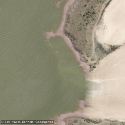
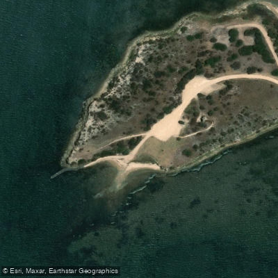
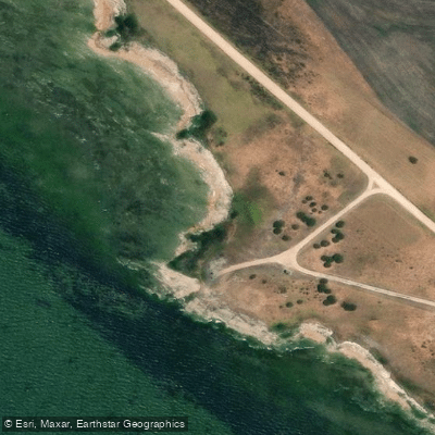
Learn how to get on The Coorong. Uncover great paddling access points, boat ramps, and all the facilities you need for an unforgettable day on the water. Some locations shown may border or include private property. Always check property boundaries and applicable regulations before visiting. PaddleWays's Public & Private Land layer can help you plan your access with confidence.
Paddle smarter with real-time insights
Whether you're en route and conditions shift or you're looking for the best spot based on current flows, we enable you to make informed decisions on the fly.







South Australia licenses and regulations

Find Places to Paddle

Over 400,000 Places to Paddle
Every user gets free access to launch points, boat ramps, and public property parcels.


Water and weather conditions (10 day forecast)
See the best times to paddle The Coorong and check the forecast before you go.
The Coorong At Robs Point
All Flow Stations
Paddling near The Coorong

Murray River
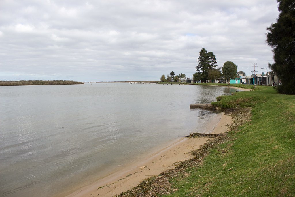
Lake Alexandrina
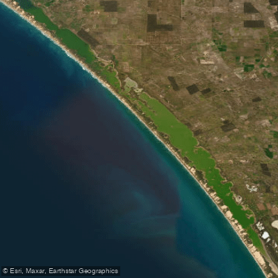
The Coorong and Lower Lakes
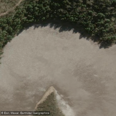
Onkaparinga River
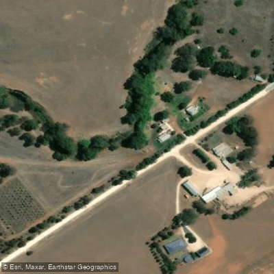
Bremer River
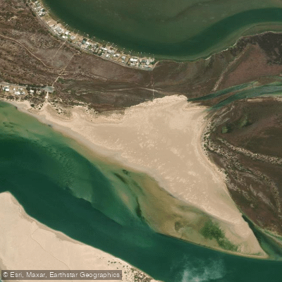
Sugars Beach
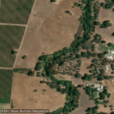
River Torrens
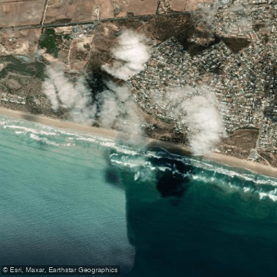
Goolwa Beach
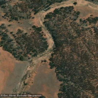
Salt Creek
Explore South Australia waters
Top paddling waters
No waters available right now.
Popular Cities
Loading popular cities...
Explore near The Coorong
Access points
Nearby waters
More in South Australia

Smarter Paddling Starts in the App.
Paddleways gives you everything you need to plan smarter, paddle better, and own every trip from first launch to takeout.