The Coorong and Lower Lakes
- Saltwater
- Estuary
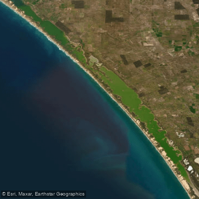
The Coorong and Lower Lakes
- Saltwater
- Estuary
- Sq. miles
- 211
- Boat Ramps
- 3
- Access Points
- 0
- Campsites
- 3
The Coorong and Lower Lakes form a vast coastal estuary system in South Australia, characterized by a mixture of rugged coastline, wide open spaces, and interconnected waterways. The region is an adventurer's playground, offering diverse environments from the shallow, rock-strewn areas of the Coorong to the expansive, open waters of Lakes Alexandrina and Albert. Paddlers can access the water from several waterfront towns with lovely reserve areas perfect for launching, such as Goolwa. The 21km Lower Murray Canoe Trail provides a designated route from Tailem Bend to Wellington. A specific paddling trail within the Coorong itself takes in a very shallow area with lots of sharp rocks, requiring careful navigation. The overall aesthetic is one of stark natural beauty, featuring wide-open skies and a windswept coastline. The area is not to be underestimated; it presents significant hazards including exposure to strong winds across large fetches on the lakes and potentially rough conditions in the more open coastal sections of the Coorong. Wildlife is abundant, with opportunities to see kangaroos, pelicans, and migratory wader birds. The region holds deep cultural significance as the home of the Ngarrindjeri people, with sites like Raukkan offering historical insight. Notable landmarks visible from the water include the Raukkan Church and Point Malcolm Lighthouse, the only freshwater inland lighthouse in the Southern Hemisphere, which marks the narrow passage between Lake Albert and Lake Alexandrina. Facilities include designated campsites within the Coorong National Park, such as the 42 Mile Crossing campground.
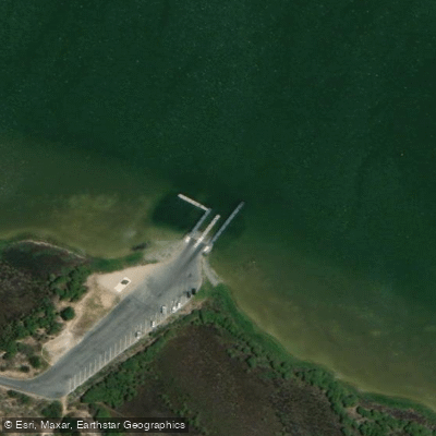
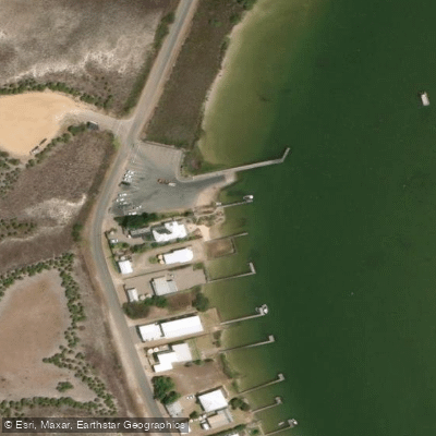
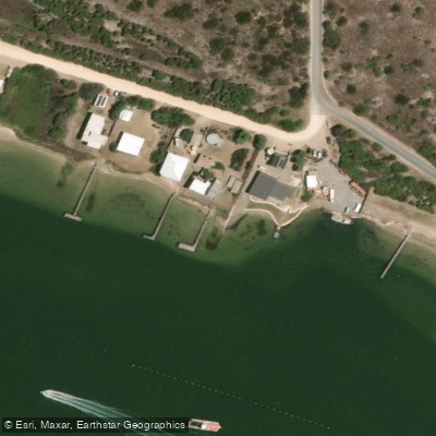
Water access, boat ramps & amenities
Learn how to get on The Coorong and Lower Lakes. Uncover great paddling access points, boat ramps, and all the facilities you need for an unforgettable day on the water. Some locations shown may border or include private property. Always check property boundaries and applicable regulations before visiting. PaddleWays's Public & Private Land layer can help you plan your access with confidence.
Paddle smarter with real-time insights
Whether you're en route and conditions shift or you're looking for the best spot based on current flows, we enable you to make informed decisions on the fly.







South Australia licenses and regulations

Find Places to Paddle

Over 400,000 Places to Paddle
Every user gets free access to launch points, boat ramps, and public property parcels.


Tides, wind & water conditions (10 day forecast)
On open water, wind and tide matter as much as the weather. See the best times to paddle The Coorong and Lower Lakes and check the marine forecast before you launch.
Loading tide predictions…
Paddling near The Coorong and Lower Lakes
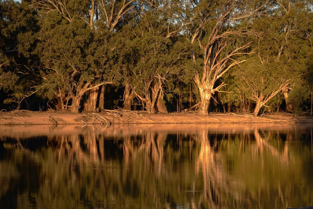
Murray River
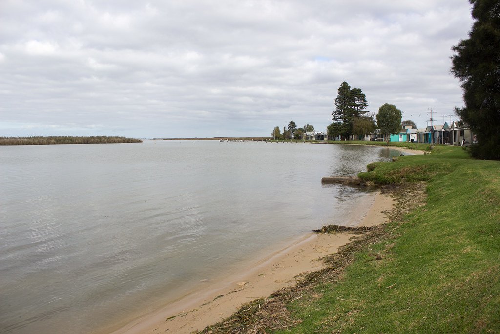
Lake Alexandrina
Onkaparinga River
Bremer River
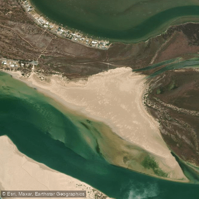
Sugars Beach
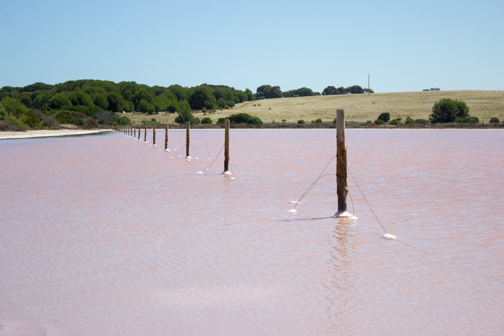
The Coorong
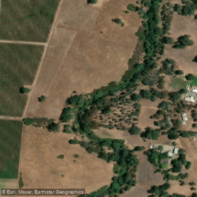
River Torrens
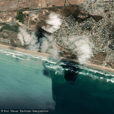
Goolwa Beach
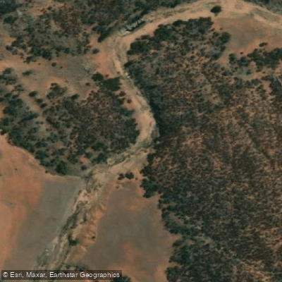
Salt Creek
Explore South Australia waters
Top paddling waters
No waters available right now.
Popular Cities
Loading popular cities...
Explore near The Coorong and Lower Lakes
Access points
Nearby waters
More in South Australia

Smarter Paddling Starts in the App.
Paddleways gives you everything you need to plan smarter, paddle better, and own every trip from first launch to takeout.