Paddling in Hinchinbrook Island National Park
- National Park
- Lakes
- 0
- Rivers
- 27
- Access
- 0
- Boat Ramps
- 0
- Shops
- 0
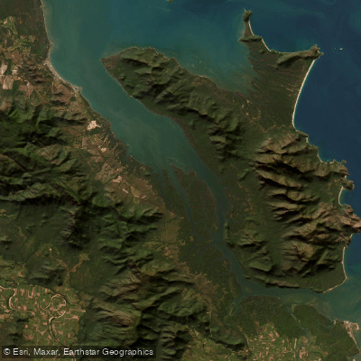
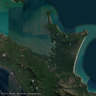
Hinchinbrook Island National Park sits off the wet tropics coast of North Queensland, wedged between the mainland rainforest and the outer edges of the Great Barrier Reef.
The water here is almost entirely coastal and tidal — this is sea kayaking country, and serious sea kayaking at that. The eastern coastline is the paddling spine of the island.
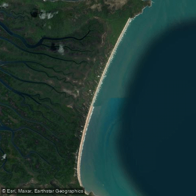
Steep peaks rise directly from the sea, palm-lined beaches punctuate the cliffs, and the route roughly follows the Thorsborne Trail corridor, giving paddlers access to landmarks like Nina Peak and Zoe Falls from the water.
Camps are spaced along the coast, and the eastern passage runs roughly 100 kilometres end to end. Guided expeditions typically cover it over six days, with two to five hours on the water daily.
The dry season — June through October — is when conditions align: calmer seas, reliable trade winds, and clear skies. Outside that window, the weather and swell can make the exposed coast genuinely hazardous. The western side is a different story.
Hinchinbrook Channel separates the island from the mainland, and its mangrove-lined tidal waters are saltwater crocodile habitat. Paddlers stay on the eastern coast.
At the northern tip, the route opens into an island-hop toward the mainland — Goold Island, then further north toward Dunk Island and Mission Beach — for those doing longer expeditions.
Camping permits are required for all stays in the park; Queensland Parks and Wildlife Service issues them, and boat-based camping permits are separate from Thorsborne Trail permits.
Check current requirements directly with the park before you go — access is managed carefully, and permit conditions matter here. The eastern coast of Hinchinbrook is not a place to improvise.
The exposure, the distances between beaches, and the remoteness demand solid open-water skills and proper gear.
But for paddlers who come prepared, it delivers a full wilderness coastline, largely unchanged, with the reef on one side and the rainforest on the other.
Top waters to paddle near Hinchinbrook Island National Park

Water and weather conditions (10 day forecast)
See the best times to paddle Hinchinbrook Island National Park and check the forecast before you go.
No forecast data available.
Paddle smarter with real-time insights
Whether you're en route and conditions shift or you're looking for the best spot based on current flows, we enable you to make informed decisions on the fly.







Paddling near Hinchinbrook Island National Park
Loading...
Gateway towns
Where to base yourself for paddling in Hinchinbrook Island National Park.
- CardwellQueensland
Main gateway town with ferry access to the island's northern trailhead and permit services for the Thorsborne Trail.
- LucindaQueensland
Southern access point for the island, used by hikers finishing or starting the Thorsborne Trail from the south end.
Explore Hinchinbrook Island National Park
Top paddling waters
Popular Cities
Loading popular cities...

Smarter Paddling Starts in the App.
Paddleways gives you everything you need to plan smarter, paddle better, and own every trip from first launch to takeout.