Missionary Bay
- Saltwater
- Estuary
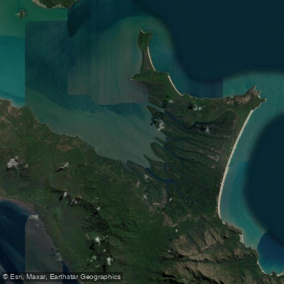
Missionary Bay
- Saltwater
- Estuary
- Sq. miles
- 36
- Boat Ramps
- 0
- Access Points
- 0
- Campsites
- 2
Missionary Bay is a large, shallow estuary at the northern end of Hinchinbrook Island National Park, forming part of the western coastline of Hinchinbrook Island. It is characterized by approximately 50 square kilometers of dense, biodiverse mangrove forests lining its shoreline, which are considered among the most diverse in Australia. The bay features a shallow subhorizontal tidal zone with extensive offshore seagrass beds. This is a remote, wilderness area with a wild and rugged character, accessible only by boat. The primary paddling experience involves navigating through the intricate mangrove systems. Access for paddlers typically requires a boat transfer from the mainland, with commercial day trips available from Cardwell via operators like Hinchinbrook Island Cruises, which transit through the mangroves of Missionary Bay en route to Ramsay Bay. A significant safety consideration is the confirmed presence of saltwater crocodiles in the area. The waters are also part of a dugong habitat. Wildlife sightings may include dugongs, turtles, dolphins, and abundant birdlife, such as the beach stone-curlew. The aesthetic is one of a pristine, natural mangrove estuary backed by the mountainous spine of Hinchinbrook Island. There are no specific facilities or amenities for paddlers detailed within the bay itself, as it is a protected national park. Camping areas exist elsewhere on the island's coastline. Paddlers should be aware that dogs are not permitted on the Thorsborne Trail, which runs along the island, indicating a general policy of strict environmental protection.
Water access, boat ramps & amenities
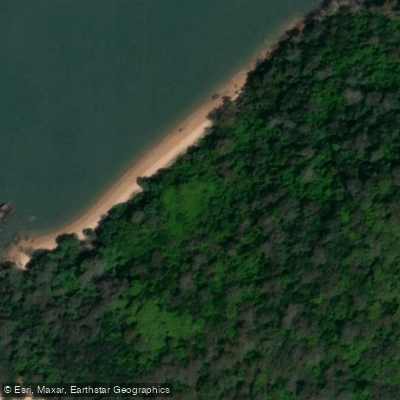
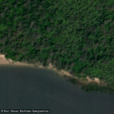
Learn how to get on Missionary Bay. Uncover great paddling access points, boat ramps, and all the facilities you need for an unforgettable day on the water. Some locations shown may border or include private property. Always check property boundaries and applicable regulations before visiting. PaddleWays's Public & Private Land layer can help you plan your access with confidence.
Paddle smarter with real-time insights
Whether you're en route and conditions shift or you're looking for the best spot based on current flows, we enable you to make informed decisions on the fly.







Queensland licenses and regulations

Find Places to Paddle

Over 400,000 Places to Paddle
Every user gets free access to launch points, boat ramps, and public property parcels.


Tides, wind & water conditions (10 day forecast)
On open water, wind and tide matter as much as the weather. See the best times to paddle Missionary Bay and check the marine forecast before you launch.
Loading tide predictions…
Paddling near Missionary Bay
Ross River
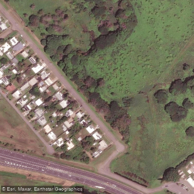
Gordon Creek
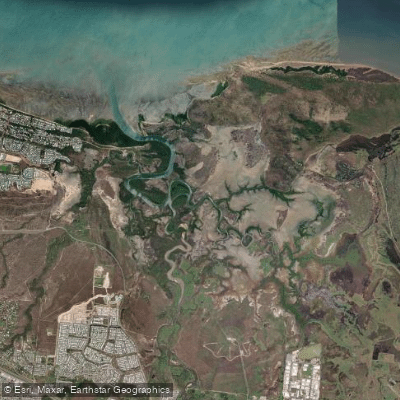
Bohle River
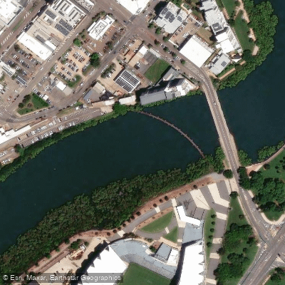
Ross Creek
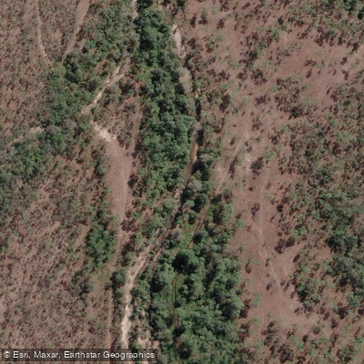
Althaus Creek
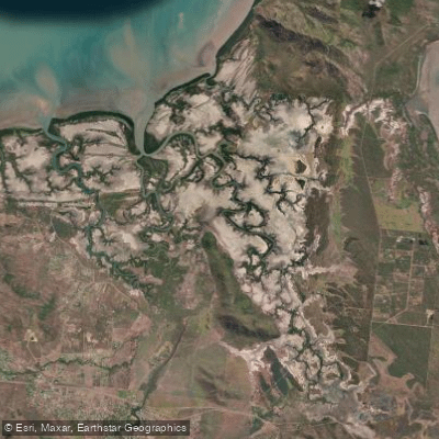
Crocodile Creek
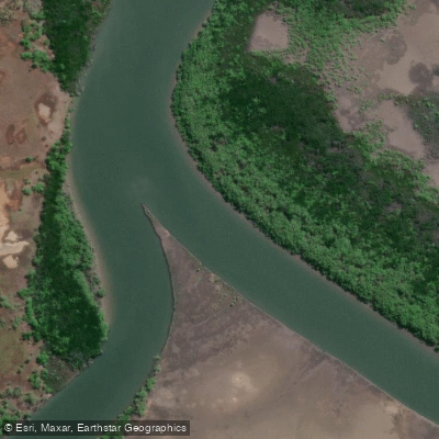
Barramundi Creek
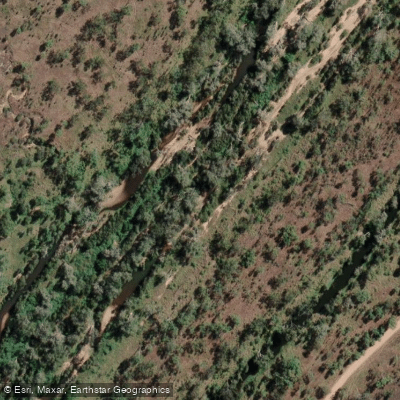
Keelbottom Creek
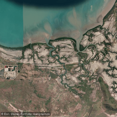
Alligator Creek
Burdekin River
Explore Queensland waters
Top paddling waters
No waters available right now.
Popular Cities
Loading popular cities...
Explore near Missionary Bay

Smarter Paddling Starts in the App.
Paddleways gives you everything you need to plan smarter, paddle better, and own every trip from first launch to takeout.