Hinchinbrook Channel
- Saltwater
- Estuary
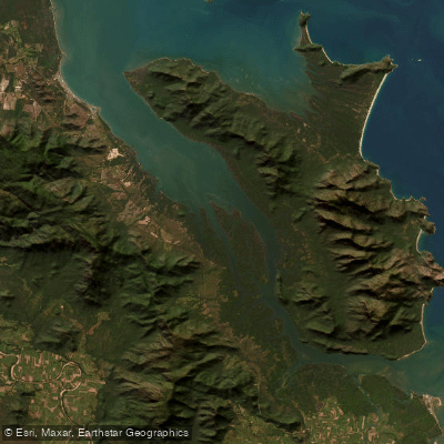
Hinchinbrook Channel
- Saltwater
- Estuary
- Sq. miles
- 86
- Boat Ramps
- 0
- Access Points
- 0
- Campsites
- 0
Hinchinbrook Channel is a narrow, saltwater channel separating Hinchinbrook Island from the mainland coast of Queensland. It is a nationally important wetland and a significant regional waterway. The primary access points for paddlers are the Port Hinchinbrook Public Boat Ramp in Cardwell and the Cardwell Jetty at the channel's northern end. The Port Hinchinbrook ramp is a two-lane concrete facility with a central pontoon and ample car and trailer parking, but it is highly tide-dependent. At low tide, launching is near impossible due to silt build-up, and the ramp is only reliably usable on a tide of about 1.5 metres or higher. Dredging operations to address this issue have been undertaken. The Cardwell Jetty is another operational facility at the channel's northern end. The channel is exposed to wind, with forecasts indicating frequent periods of light wind unsuitable for sailing but also a regular probability of moderate breeze conditions. The area is known for significant saltwater crocodile populations, and staying alert around the water's edge is a critical safety requirement. The channel provides access to the scenic Hinchinbrook Island National Park, with opportunities for kayaking between locations. The surrounding region features mangrove estuaries and connects to the Coral Sea. The overall character is that of a major, scenic coastal channel with strong tidal influences, significant wildlife hazards, and infrastructure that requires careful tide planning for use.
Water access, boat ramps & amenities
Learn how to get on Hinchinbrook Channel. Uncover great paddling access points, boat ramps, and all the facilities you need for an unforgettable day on the water. Some locations shown may border or include private property. Always check property boundaries and applicable regulations before visiting. PaddleWays's Public & Private Land layer can help you plan your access with confidence.
Paddle smarter with real-time insights
Whether you're en route and conditions shift or you're looking for the best spot based on current flows, we enable you to make informed decisions on the fly.







Queensland licenses and regulations

Find Places to Paddle

Over 400,000 Places to Paddle
Every user gets free access to launch points, boat ramps, and public property parcels.


Tides, wind & water conditions (10 day forecast)
On open water, wind and tide matter as much as the weather. See the best times to paddle Hinchinbrook Channel and check the marine forecast before you launch.
Loading tide predictions…
Paddling near Hinchinbrook Channel

Ross River
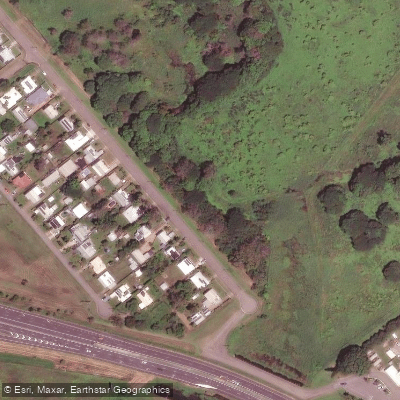
Gordon Creek
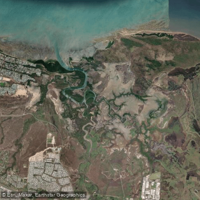
Bohle River
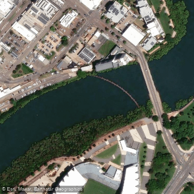
Ross Creek
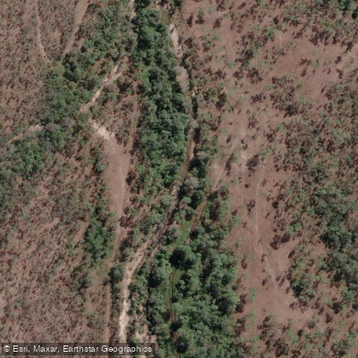
Althaus Creek
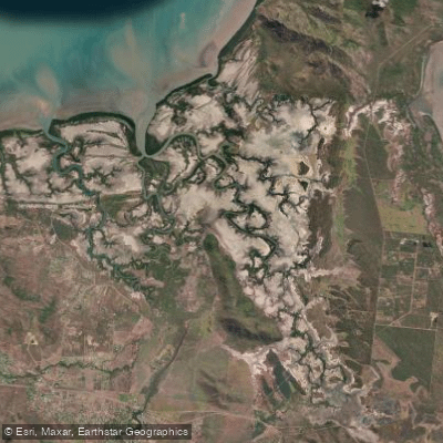
Crocodile Creek
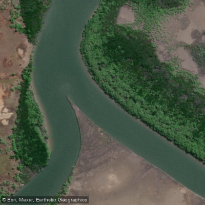
Barramundi Creek
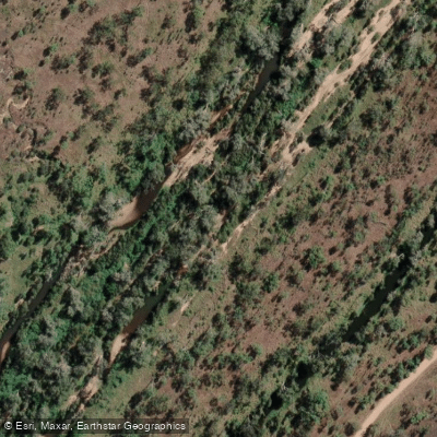
Keelbottom Creek
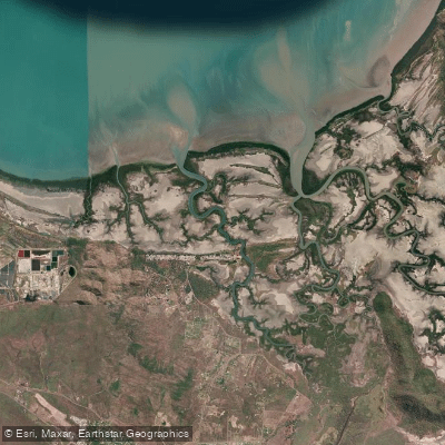
Alligator Creek
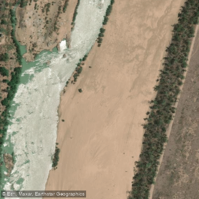
Burdekin River
Explore Queensland waters
Top paddling waters
No waters available right now.
Popular Cities
Loading popular cities...
Explore near Hinchinbrook Channel

Smarter Paddling Starts in the App.
Paddleways gives you everything you need to plan smarter, paddle better, and own every trip from first launch to takeout.