Paddling in Lane Cove National Park
- National Park
- Lakes
- 0
- Rivers
- 22
- Access
- 0
- Boat Ramps
- 1
- Shops
- 0
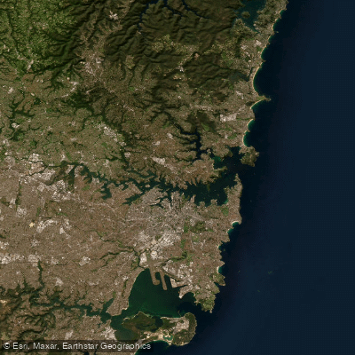
Lane Cove National Park sits on either side of the Lane Cove River in Sydney's northern suburbs, a thin corridor of bushland running from East Ryde toward Pennant Hills and West Chatswood.
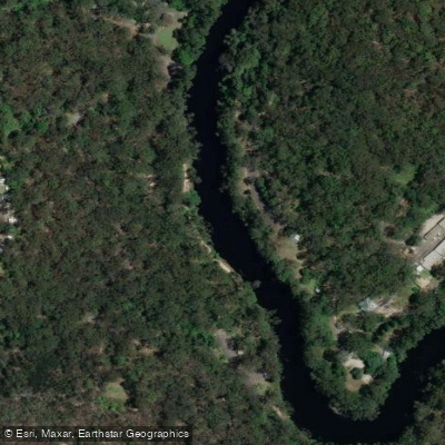
The water here is flatwater — tidal, quiet, and sheltered — threading through sandstone gullies and eucalypt forest close enough to the city that you can hear it, but calm enough that you can forget it. The Lane Cove River is the spine of the paddling.
It runs through the park as a peaceful, navigable stretch well suited to kayaks, canoes, and paddleboards.
The AllTrails-listed route from Blackbutt Creek to Blue Hole gives a sense of the corridor paddlers travel: upstream tributaries feeding into the main river, with the water staying flat and manageable.
Blackbutt Creek is one of those entry points into the system, and Buffalo Creek is another named water within the park boundary.
Hire is available on-site through the Lane Cove Boatshed, which operates on weekends, public holidays, and NSW school holidays — single and double kayaks, rowboats, and pedal boats, no booking required.
That walk-up access makes this one of the more approachable park paddles in greater Sydney.
Because this is a national park managed by NSW National Parks and Wildlife Service, the usual considerations apply: check current alerts before you go, and confirm any conditions or access restrictions directly with the park.
The park office is the right place to ask about what's current. What the Lane Cove River rewards is patience with slow water. There are no rapids to read, no lines to pick.
The work here is noticing — the water dragons along the banks, the lorikeets overhead, the way the sandstone walls close in and then open again. For paddlers who spend most of their time chasing gradient, this is a different kind of trip.
It earns its place on the water anyway.
Top waters to paddle near Lane Cove National Park
Water and weather conditions (10 day forecast)
See the best times to paddle Lane Cove National Park and check the forecast before you go.
No forecast data available.
Paddle smarter with real-time insights
Whether you're en route and conditions shift or you're looking for the best spot based on current flows, we enable you to make informed decisions on the fly.







Paddling near Lane Cove National Park
Loading...
Gateway towns
Where to base yourself for paddling in Lane Cove National Park.
- ChatswoodNew South Wales
Nearest major transit hub with bus access into the park and a full range of lodging, dining, and supplies.
- RydeNew South Wales
Southern approach via Lane Cove Road leads directly to Riverside Drive park entry, with suburban services close by.
- LindfieldNew South Wales
Sits at the park's northern edge near Max Allen Drive, the address listed for the main park access point.
Explore Lane Cove National Park
Top paddling waters
Popular Cities
Loading popular cities...

Smarter Paddling Starts in the App.
Paddleways gives you everything you need to plan smarter, paddle better, and own every trip from first launch to takeout.