Lane Cove River
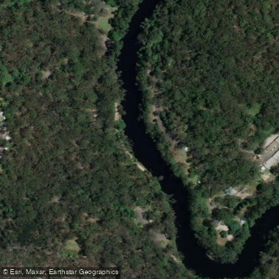
Lane Cove River
- Boat Ramps
- 1
- Access Points
- 0
- Campsites
- 0
The Lane Cove River flows through Lane Cove National Park, a pocket of bushland on Sydney's lower north shore that extends from East Ryde to Pennant Hills and West Chatswood. The river sits roughly 10 kilometres from Sydney's city centre, making it one of the more accessible natural paddling environments in the metropolitan area.
The river corridor passes through bushland on both sides and includes sections of mangroves, providing habitat for water dragons, birds including rainbow lorikeets, and other wildlife. The character of the paddling is generally calm and quiet, with the surrounding national park lending a sense of distance from the urban environment despite the proximity to the city.
Several access points are available to paddlers. Greens Flat Park serves as a launch point for trips heading downstream, with Griffiths Park beach in Longueville used as a landing spot — a route of approximately 10 kilometres from the Delhi Road Bridge. The Koonjeree Picnic Area near the weir within Lane Cove National Park is noted as an easy drop-in point in the upper section of the river. The Riverview Boat Ramp near Burns Bay Reserve in Riverview offers a single-lane concrete ramp with an adjoining pontoon, toilets, a wash-down area, and limited parking; it provides access to the lower Lane Cove River. Tidal conditions are a consideration on the lower river, with paddlers noting that timing a trip around high tide or the turn of the tide is worth planning for.
For those without their own equipment, the Lane Cove Boatshed operates on Riverside Drive in Chatswood West within the national park. It hires single kayaks at $45 per hour and double kayaks at $55 per hour, along with canoes, rowboats, and pedal boats. The boatshed is open weekends and public holidays from 10am to 5pm, and on weekdays during NSW state school holidays from 10am to 5pm. Refreshments including food and drinks are available on site.
The river is suitable for beginners and families given its generally sheltered and calm conditions. Tidal influence affects the lower reaches, so awareness of tide times is useful when planning trips in that section.
Water access, boat ramps & amenities
Learn how to get on Lane Cove River. Uncover great paddling access points, boat ramps, and all the facilities you need for an unforgettable day on the water. Some locations shown may border or include private property. Always check property boundaries and applicable regulations before visiting. PaddleWays's Public & Private Land layer can help you plan your access with confidence.
Paddle smarter with real-time insights
Whether you're en route and conditions shift or you're looking for the best spot based on current flows, we enable you to make informed decisions on the fly.








Find Places to Paddle

Over 400,000 Places to Paddle
Every user gets free access to launch points, boat ramps, and public property parcels.


Water and weather conditions (10 day forecast)
See the best times to paddle Lane Cove River and check the forecast before you go.
Lane
Paddling near Lane Cove River
Sydney
Parramatta River
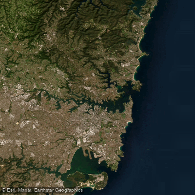
Port Jackson
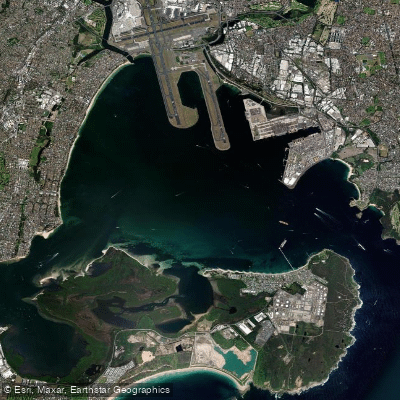
Botany
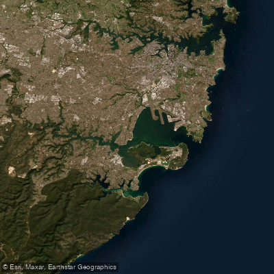
Botany Bay
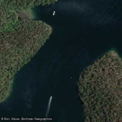
Cowan Creek

Georges River
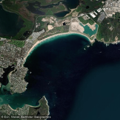
Bate Bay
Woronora River
Explore New South Wales waters
Top paddling waters
No waters available right now.
Popular Cities
Loading popular cities...
Explore near Lane Cove River
Access points
Nearby waters
More in New South Wales

Smarter Paddling Starts in the App.
Paddleways gives you everything you need to plan smarter, paddle better, and own every trip from first launch to takeout.