Port Jackson
- Saltwater
- Estuary
Port Jackson
- Saltwater
- Estuary
- Sq. miles
- 21
- Boat Ramps
- 3
- Access Points
- 3
- Campsites
- 0
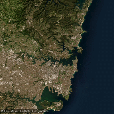
Port Jackson, famously known as Sydney Harbour, is a large, iconic estuary in New South Wales, Australia. It is a major working waterway characterized by significant commercial and recreational vessel traffic, including ferries and naval vessels, which paddlers must constantly navigate. The harbour is bounded by the heads at North Head and South Head, and its waters include the Parramatta River, Middle Harbour, and Lane Cove River. For paddlers, the experience offers world-famous views of landmarks like the Sydney Opera House and Harbour Bridge from a low, intimate water-level perspective, particularly striking during the early morning civil twilight period. The overall character is one of a bustling marine transport corridor where a small craft must maintain high situational awareness and visibility, accepting that the route is dictated by real-time conditions rather than offering unimpeded access.
Launch points are numerous around the harbour's extensive shoreline. Specific put-ins include Lavender Bay on the northern shore, from which paddlers can explore nearby bays and venture to Goat Island. Middle Harbour, accessed from points like Mosman, is a more protected paddling area with gentle morning conditions, leading under the Spit Bridge and into the narrowing harbour towards Garigal National Park. Key hazards include the constant presence of large vessel traffic and the need to understand ferry lanes and restricted zones. A sunrise paddle, while offering a quieter surface, does not grant priority over other harbour users. Personal watercraft (jet skis) are prohibited anywhere on Port Jackson, including all its tidal bays and tributaries, which reduces one source of traffic conflict for paddlers. The harbour is a saltwater estuary with significant tidal flow. Winds can generate fetch across the harbour's broad sections, but Middle Harbour offers more sheltered conditions. There is no surf zone at the heads being a common paddling route, indicating most recreational paddling occurs within the protected harbour basin. Recommended routes include a 10-kilometer return trip from Lavender Bay exploring northern shore bays and Goat Island, taking approximately 2.5 to 3 hours, and eco-tours from Sydney Harbour Kayaks that journey into Middle Harbour. The water body holds deep historical and cultural significance as Aboriginal Country and a focal point of colonial settlement, with sights like the historic Quarantine Station adding to the paddling experience.
Water access, boat ramps & amenities
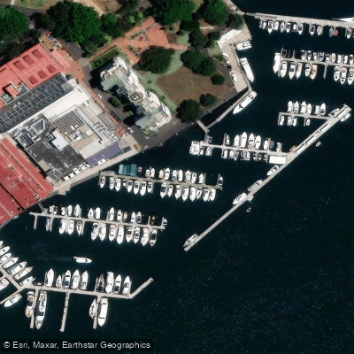
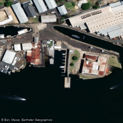
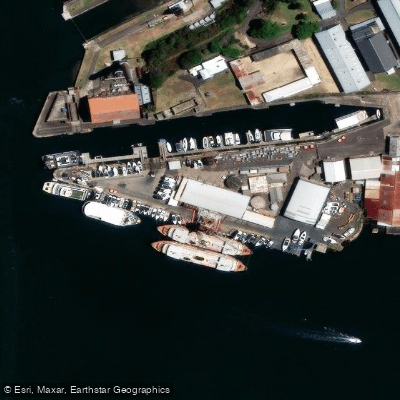
Learn how to get on Port Jackson. Uncover great paddling access points, boat ramps, and all the facilities you need for an unforgettable day on the water. Some locations shown may border or include private property. Always check property boundaries and applicable regulations before visiting. PaddleWays's Public & Private Land layer can help you plan your access with confidence.
Paddle smarter with real-time insights
Whether you're en route and conditions shift or you're looking for the best spot based on current flows, we enable you to make informed decisions on the fly.








Find Places to Paddle

Over 400,000 Places to Paddle
Every user gets free access to launch points, boat ramps, and public property parcels.


Tides, wind & water conditions (10 day forecast)
On open water, wind and tide matter as much as the weather. See the best times to paddle Port Jackson and check the marine forecast before you launch.
Loading tide predictions…
Paddling near Port Jackson
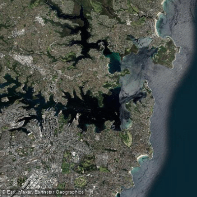
Sydney
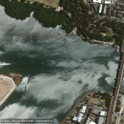
Parramatta River
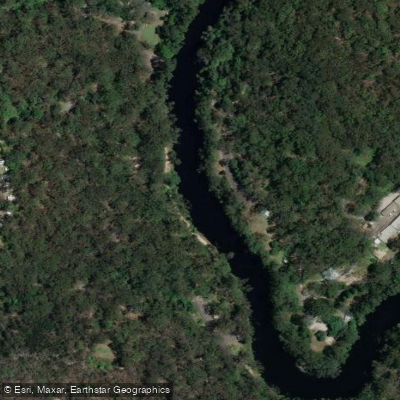
Lane Cove River
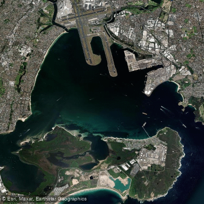
Botany
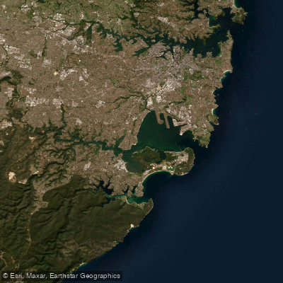
Botany Bay
Cowan Creek

Georges River
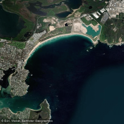
Bate Bay
Woronora River
Explore New South Wales waters
Top paddling waters
No waters available right now.
Popular Cities
Loading popular cities...
Explore near Port Jackson

Smarter Paddling Starts in the App.
Paddleways gives you everything you need to plan smarter, paddle better, and own every trip from first launch to takeout.