Paddling in Limeburners Creek National Park
- National Park
- Lakes
- 1
- Rivers
- 2
- Access
- 0
- Boat Ramps
- 1
- Shops
- 0
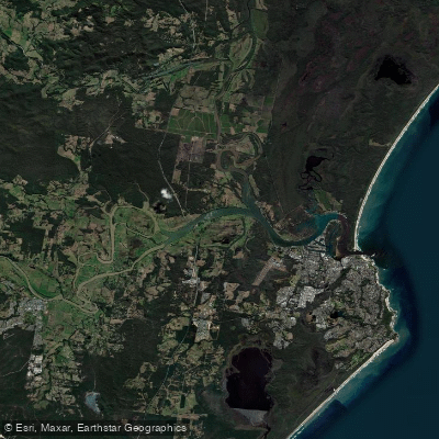
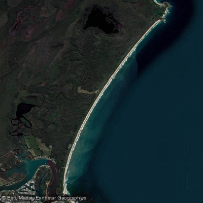
Limeburners Creek National Park sits on the Mid North Coast of New South Wales, about 5 kilometres north of Port Macquarie, where a network of tidal creeks, lakes, and estuarine waterways cuts through one of the state's earliest protected coastal landscapes.
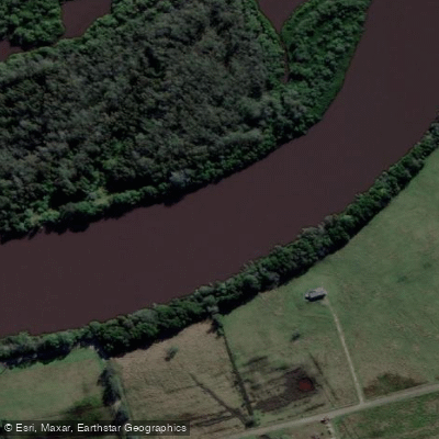
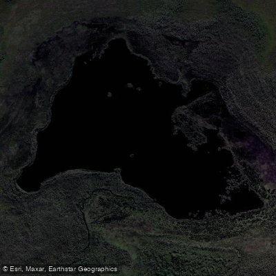
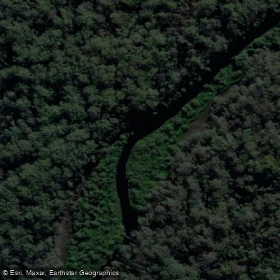
The paddling here is flatwater and tidal — quiet, sheltered, and shaped by the rhythms of the estuary rather than current or gradient. Limeburners Creek and Saltwater Lake are the waters that anchor the paddling experience in the park.
The trip from the creek through to Saltwater Lake is a long paddle by local standards, and the tidal nature of the system means timing matters: the return leg can work against you if you misread the tide.
Tom Dick's Hole on North Shore is the noted put-in for this route, and the paddle moves through country with documented Aboriginal occupation stretching back five to six thousand years — stone quarry sites and sandstone grooves are part of the cultural landscape you're moving through, not incidental to it.
The park map marks dedicated canoe and kayak locations, which is worth checking before you go. The Maria River also sits within the park's broader area, draining into the Hastings system. The park is managed by NSW National Parks and Wildlife Service.
Because this is a national park — upgraded from nature reserve status in 2010 — it carries the protections that designation brings: threatened species habitat, significant Aboriginal heritage sites, and the kind of ecological sensitivity that asks paddlers to tread lightly.
Check current conditions and any access requirements with NPWS before launching. This is not a place that announces itself loudly. The creek bends, the lake opens, and the history of the country moves quietly alongside you.
Top waters to paddle near Limeburners Creek National Park
Water and weather conditions (10 day forecast)
See the best times to paddle Limeburners Creek National Park and check the forecast before you go.
No forecast data available.
Paddle smarter with real-time insights
Whether you're en route and conditions shift or you're looking for the best spot based on current flows, we enable you to make informed decisions on the fly.







Paddling near Limeburners Creek National Park
Loading...
Gateway towns
Where to base yourself for paddling in Limeburners Creek National Park.
- Port MacquarieNSW
Nearest major town to the park's southern boundary, with full services including accommodation, supplies, and park access.
- Crescent HeadNSW
Listed as the park's nearest city and sits at the southern edge, offering accommodation and beach access for visitors.
Explore Limeburners Creek National Park
Top paddling waters
Popular Cities
Loading popular cities...

Smarter Paddling Starts in the App.
Paddleways gives you everything you need to plan smarter, paddle better, and own every trip from first launch to takeout.