Hastings River
- Saltwater
- Estuary
Hastings River
- Saltwater
- Estuary
- Sq. miles
- 14
- Boat Ramps
- 3
- Access Points
- 0
- Campsites
- 0
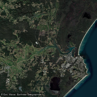
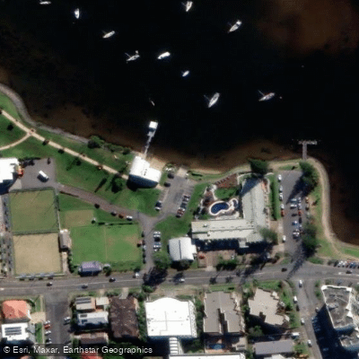
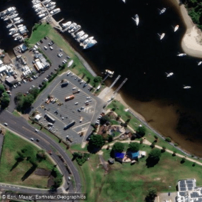
The Hastings River is a coastal estuary flowing through Port Macquarie, offering paddlers a mix of scenic river and sheltered coastal environments. The river rises in the Werrikimbe National Park and flows east to the sea at Port Macquarie. For paddlers, the character of the experience varies significantly by location. Inland, above the Oxley Highway, there is a canoeable section of approximately 15 kilometers starting from the bridge on Mt Seaview Road to Yarras Bridge. This section is graded as Class III and features good rapids, but it requires adequate rainfall to be runnable at that grade and is considered a half to full day trip. Closer to Port Macquarie, the river becomes a broad tidal estuary. Several established access points serve paddlers, including McInherney Park boat ramp, which is a common start point for club paddles, and Blackmans Point Boat Ramp on Blackmans Point Road. The Hibbard Ferry crossing at the junction of Boundary Street and Hastings River Road provides access to the river's north side. The Port Macquarie Wharf area has undergone upgrades including a new boardwalk and public wharf, improving foreshore access. While the river itself is a major paddling route, the adjacent coastal beaches like Town Beach, Shelly Beach, and Flynns Beach are also popular launch points for stand-up paddleboarding. These beaches offer calm to moderate, protected waters suitable for beginners to intermediates, with amenities such as picnic areas, restrooms, and paddleboard hire available. The Hastings River and its connected waterways have hosted various paddling events.
Water access, boat ramps & amenities
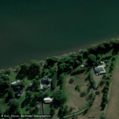
Learn how to get on Hastings River. Uncover great paddling access points, boat ramps, and all the facilities you need for an unforgettable day on the water. Some locations shown may border or include private property. Always check property boundaries and applicable regulations before visiting. PaddleWays's Public & Private Land layer can help you plan your access with confidence.
Paddle smarter with real-time insights
Whether you're en route and conditions shift or you're looking for the best spot based on current flows, we enable you to make informed decisions on the fly.








Find Places to Paddle

Over 400,000 Places to Paddle
Every user gets free access to launch points, boat ramps, and public property parcels.


Tides, wind & water conditions (10 day forecast)
On open water, wind and tide matter as much as the weather. See the best times to paddle Hastings River and check the marine forecast before you launch.
Loading tide predictions…
Paddling near Hastings River
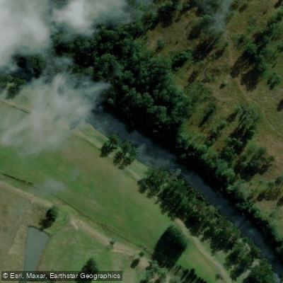
Hastings River
Herons Creek
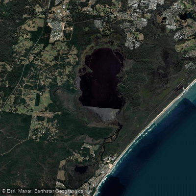
Lake Cathie/Innes
Camden Haven River
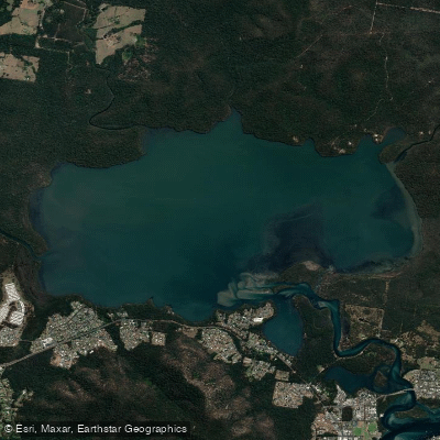
Queens Lake
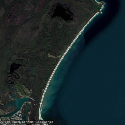
North Shore Beach
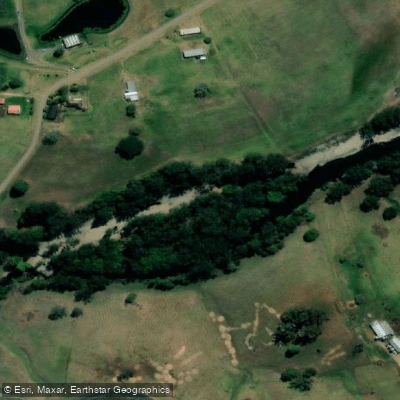
Wilson River
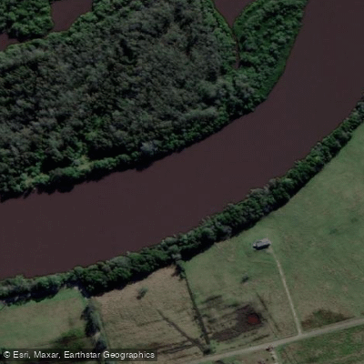
Maria River
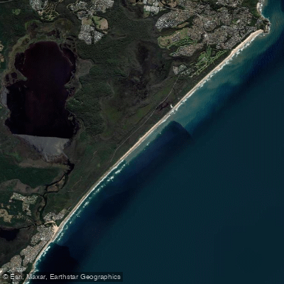
Lighthouse Beach
Limeburners Creek
Explore New South Wales waters
Top paddling waters
No waters available right now.
Popular Cities
Loading popular cities...
Explore near Hastings River
Nearby waters
More in New South Wales

Smarter Paddling Starts in the App.
Paddleways gives you everything you need to plan smarter, paddle better, and own every trip from first launch to takeout.