Paddling in Limmen National Park
- National Park
- Lakes
- 11
- Rivers
- 8
- Access
- 0
- Boat Ramps
- 1
- Shops
- 0
Limmen National Park sits in the Gulf Country of the Northern Territory, where the land drains toward the Gulf of Carpentaria through a network of rivers, floodplains, and billabongs.
This is big, remote country — the kind where the water defines the landscape as much as the sandstone formations do — and the rivers are the reason many people come. The Roper River is the water most closely associated with the park.
The main track follows it for a stretch, and the river corridor draws anglers and paddlers alike. Barramundi are the target species here, and the system's floodplains and billabongs extend the fishable and paddleable water well beyond the main channel.
The park also crosses four other major rivers. Access is genuinely remote. There are no fuel stops between Roper Bar and Cape Crawford — a run of 338 km — so any paddling trip here requires serious logistical planning before you leave the highway.
Campsites range from the larger Munbililla campground to more isolated riverside options; all must be booked online before arrival. Butterfly Springs is the only designated safe swimming spot in the park.
Before you arrive, you'll need an NT Parks Visitor Pass, issued by the NT Government. NT residents are exempt.
Check with the park directly for any current conditions, access restrictions, or requirements specific to water-based activities — the Nathan River Ranger Station is the on-ground contact for the area.
The Gulf's wet season transforms these rivers, and the dry season is when most people travel. Time your trip accordingly, and treat the remoteness as a given, not a variable.
Top waters to paddle near Limmen National Park
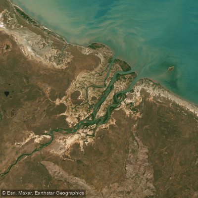
Limmen Bight River
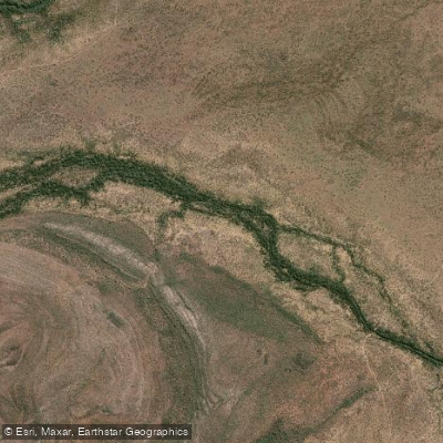
Roper River
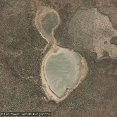
Wabarra Lake
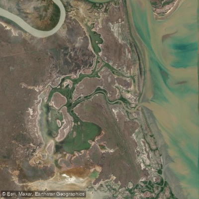
Nayampi Creek
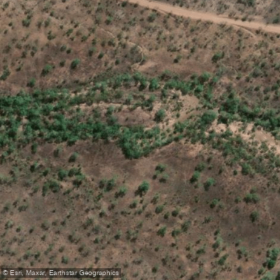
Eastern Creek
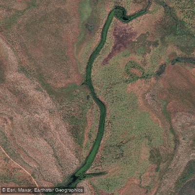
Yangkanji Billabong (Lake Mary)
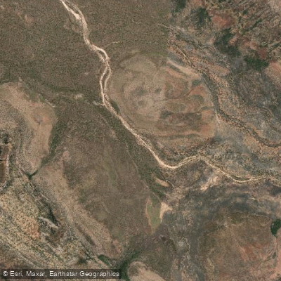
Tyangkuta Creek
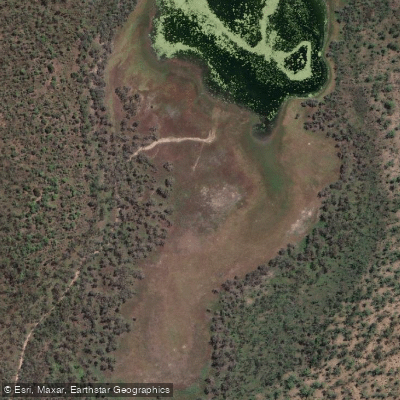
Nawarlbur Swamp
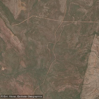
Limestone Creek
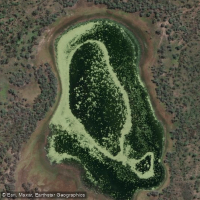
Nawarlbur Waterhole
Water and weather conditions (10 day forecast)
See the best times to paddle Limmen National Park and check the forecast before you go.
No forecast data available.
Paddle smarter with real-time insights
Whether you're en route and conditions shift or you're looking for the best spot based on current flows, we enable you to make informed decisions on the fly.







Paddling near Limmen National Park
Loading...
Gateway towns
Where to base yourself for paddling in Limmen National Park.
- BorroloolaNT
Nearest town to the park, serving as the main base for supplies, fuel, and accommodation for visitors.
- MatarankaNT
Northern gateway town on the Stuart Highway providing fuel, supplies, and a staging point before heading to the park.
Explore Limmen National Park
Top paddling waters
Popular Cities
Loading popular cities...

Smarter Paddling Starts in the App.
Paddleways gives you everything you need to plan smarter, paddle better, and own every trip from first launch to takeout.