Paddling in Lower Glenelg National Park
- National Park
- Lakes
- 1
- Rivers
- 5
- Access
- 0
- Boat Ramps
- 7
- Shops
- 0
The lower Glenelg River is flatwater country — a slow, tannin-stained river cutting through limestone gorge country in the far southwest corner of Victoria, where the land flattens toward the Southern Ocean.
The national park wraps around most of the river's lower reaches, and the water is the reason most people come. The Glenelg River Canoe Trail runs 75 kilometres from Dartmoor downstream to the estuary at Nelson.
For most of that distance the river moves through the park, and the character shifts as you go. The upper section from Dartmoor to Pines Landing carries a lot of snags — fallen timber across and in the water — with no particular scenery to offset the work.
Most paddlers put in at Pines Landing, accessed off the Nelson-Winnap Road, and pick up the river where the limestone gorge begins to assert itself.
From there downstream, 50-metre cliffs rise off the water, the current stays gentle, and the river widens toward Nelson and the estuary. Motorboats also use the river, so expect company even in the park. The trail is designed for canoes and kayaks.
Parks Victoria maintains seven campsites reserved exclusively for paddlers, spaced along the river to support multi-day trips. The full run takes around four days; three days is the common choice.
All canoe campsites must be booked in advance through Parks Victoria, fees apply, and each site can only be booked for one night. Day trips are also possible — canoe hire is available at Dartmoor, Winnap, and Nelson.
Moleside Creek feeds into the river system within the park but the Glenelg is the spine of the paddling here. There is no whitewater to speak of.
What the river gives you instead is quiet: gorge walls, riverside gums, and the kind of pace that lets you notice things. The park exists to protect that, and the paddler-only campsites are part of how it does.
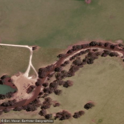
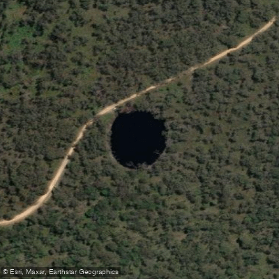
Top waters to paddle near Lower Glenelg National Park
Water and weather conditions (10 day forecast)
See the best times to paddle Lower Glenelg National Park and check the forecast before you go.
No forecast data available.
Paddle smarter with real-time insights
Whether you're en route and conditions shift or you're looking for the best spot based on current flows, we enable you to make informed decisions on the fly.







Paddling near Lower Glenelg National Park
Loading...
Gateway towns
Where to base yourself for paddling in Lower Glenelg National Park.
- NelsonVictoria
Sits at the park's river mouth entrance; home to canoe hire, boat hire, and launch points for Glenelg River trips through the park.
- PortlandVictoria
Starting point of the Great South West Walk, which winds through the park, with accommodation and services for multi-day hikers.
Explore Lower Glenelg National Park
Top paddling waters
Popular Cities
Loading popular cities...
Smarter Paddling Starts in the App.
Paddleways gives you everything you need to plan smarter, paddle better, and own every trip from first launch to takeout.