Paddling in Mary River National Park
- National Park
- Lakes
- 1
- Rivers
- 8
- Access
- 0
- Boat Ramps
- 3
- Shops
- 0
Mary River National Park sits in the Top End of the Northern Territory, about 110 kilometres east of Darwin on the way to Kakadu.
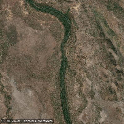
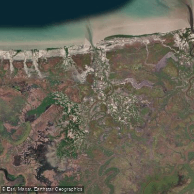
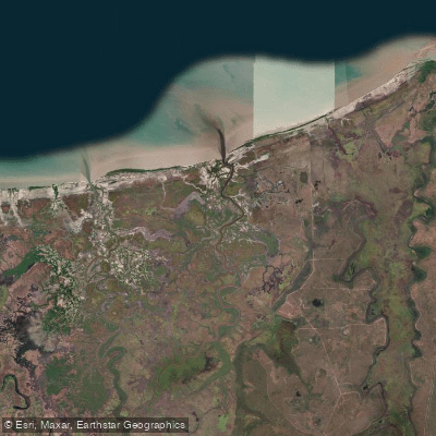
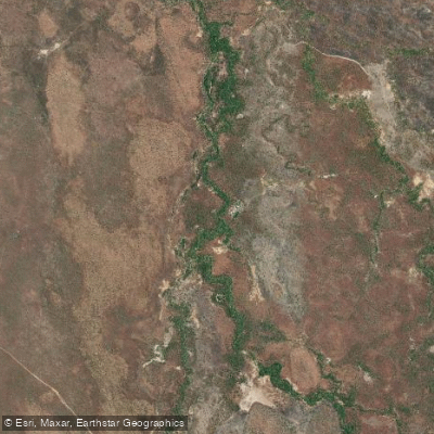
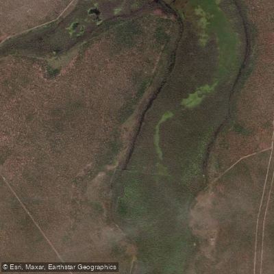
The water here is not mountain whitewater or touring coastline — it is tropical wetland country: the Mary River and its network of billabongs, lagoons, and canals spreading across vast floodplains either side of the Arnhem Highway.
The Mary River itself is the spine of the paddling. Boat ramps at North Rockhole and Shady Camp are the main launch points, and both see steady traffic from anglers chasing barramundi.
Shady Camp also has a barrage that marks the boundary between tidal saltwater and the freshwater wetlands upstream — a detail worth knowing when you're reading the water and planning your route.
Mistake Billabong and the broader billabong system add quieter, more sheltered options for those wanting to move slowly through paperbark forest and lotus-covered water. The Top End's wet and dry seasons define everything.
The dry season — roughly May through October — is when access roads are open, water levels are manageable, and the wildlife concentrates around the remaining water.
The wet season brings flooding that closes tracks and makes many areas unreachable by land, though the floodplains transform dramatically. Paddling here means sharing the water with saltwater crocodiles.
This is not a precaution buried in fine print — it is the defining condition of every trip on the Mary River system. Viewing platforms at Shady Camp exist specifically because the crocodile density upstream is high.
Getting in and out of a boat requires deliberate attention to where and how you do it. The park is managed by the Northern Territory Government.
Check current access conditions and any permit requirements directly with the park before you go — wet season timing and road conditions can change what's reachable quickly.
The Mary River wetlands reward patience and a quiet paddle more than speed or technical skill. Come for the birdlife, the scale of the floodplains, and the particular focus that comes from paddling water where the apex predator is not you.
Top waters to paddle near Mary River National Park
Water and weather conditions (10 day forecast)
See the best times to paddle Mary River National Park and check the forecast before you go.
No forecast data available.
Paddle smarter with real-time insights
Whether you're en route and conditions shift or you're looking for the best spot based on current flows, we enable you to make informed decisions on the fly.







Paddling near Mary River National Park
Loading...
Gateway towns
Where to base yourself for paddling in Mary River National Park.
- Point StuartNorthern Territory
Point Stuart Wilderness Lodge sits inside the park and is the primary base for fishing, wildlife tours, and exploring the Mary River wetlands.
- MarrakaiNorthern Territory
Corroboree Park Tavern here offers accommodation, meals, and supplies for visitors heading into the Mary River floodplains.
Explore Mary River National Park
Top paddling waters
Popular Cities
Loading popular cities...

Smarter Paddling Starts in the App.
Paddleways gives you everything you need to plan smarter, paddle better, and own every trip from first launch to takeout.