Paddling in Mount Barney National Park
- National Park
- Lakes
- 0
- Rivers
- 19
- Access
- 0
- Boat Ramps
- 0
- Shops
- 0
The waters of Mount Barney National Park run off the flanks of ancient shield volcano remnants in the Scenic Rim, about 90 km southwest of Brisbane.
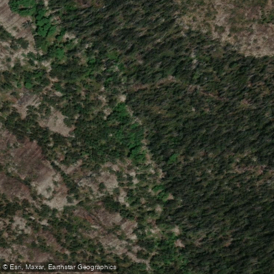
This is steep, rugged country — the park covers 130 km² of deep valleys, rock pools, and heavily forested ridgelines rising to over 1,300 m — and the creeks and rivers that drain it reflect that terrain. The paddling here is not flatwater touring.
It is creek and gorge country, shaped by gradient and rainfall. Logan River and Mount Barney Creek are the primary waters inside the park. They drain the massif's steep valleys and feed into the broader Logan system.
Barney Gorge Creek, Back Creek, and White Water Gully are among the tributary drainages that cut through the park's interior.
The character of all these waters is dictated by the same geography: confined gorges, rock pools, and flows that respond quickly to rainfall events.
These are not rivers with reliable year-round volume — they run on Queensland's subtropical rainfall cycle, with the better flows coming after rain, particularly through the wetter summer months. Access is a real constraint here.
Queensland Parks and Wildlife Service manages the park, and all camping areas can only be reached on foot. There are no vehicle-accessible put-ins inside the park boundary.
Any paddling in the gorges means carrying gear in on your own legs, which shapes what trips are realistic and who will attempt them. The park's remoteness is not incidental — it is the defining condition.
Rock pools in the gorges can be swum or paddled at low water, but the same terrain that makes this country dramatic makes it committing when flows rise.
Check conditions before you go, know your exit options, and treat the creek levels with the same respect you'd give any rain-dependent system with no road access and steep walls on either side.
Top waters to paddle near Mount Barney National Park
Water and weather conditions (10 day forecast)
See the best times to paddle Mount Barney National Park and check the forecast before you go.
No forecast data available.
Paddle smarter with real-time insights
Whether you're en route and conditions shift or you're looking for the best spot based on current flows, we enable you to make informed decisions on the fly.







Paddling near Mount Barney National Park
Loading...
Gateway towns
Where to base yourself for paddling in Mount Barney National Park.
- RathdowneyQueensland
The closest town to the park, serving as the main base for supplies and access to the park's trails.
- BoonahQueensland
The main service town for the Scenic Rim region, offering lodging, supplies, and amenities for park visitors.
Explore Mount Barney National Park
Top paddling waters
Popular Cities
Loading popular cities...

Smarter Paddling Starts in the App.
Paddleways gives you everything you need to plan smarter, paddle better, and own every trip from first launch to takeout.