Mount Barney Creek
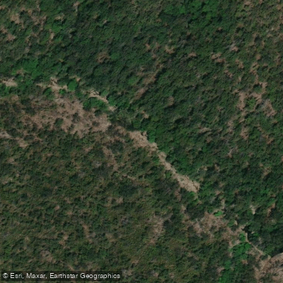
Mount Barney Creek
- Boat Ramps
- 0
- Access Points
- 0
- Campsites
- 2
Mount Barney Creek flows through the Scenic Rim region of Queensland, within and adjacent to the World Heritage-listed Mount Barney National Park. The creek is spring-fed and runs year-round, making it a reliable destination regardless of season. The water is described as crystal clear, flowing through lush forest with small rapids and swimming holes along its course. It eventually connects with the Logan River downstream.
Kayaking is a recognised activity on the creek, with Barney Creek Vineyard Cottages specifically noting it as one of the available pursuits on their property. The creek also supports fishing, with bass, trout, carp, and Mary River cod present. Paddlers sharing the water with anglers should be aware of this activity.
The surrounding area is a biodiversity hotspot, and paddlers may encounter platypus, kangaroos, wallabies, and a wide variety of bird species. The national park is classified as a wilderness area, meaning the environment remains largely undeveloped and natural in character.
Facilities in the area include Mt Barney Lodge and Barney Creek Vineyard Cottages, both of which are situated close to the creek and offer accommodation. Mt Barney Lodge also provides local knowledge, maps, and trail notes for exploring the creeks and waterholes in the area, which may be useful for paddlers planning routes.
The creek passes through terrain that includes gorges, forested gullies, and rocky sections. Stepping stones used by hikers crossing the creek are noted as slippery and unstable, which gives some indication of the rocky, uneven creek bed character paddlers may encounter in shallower sections.
Water access, boat ramps & amenities
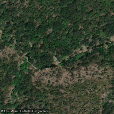
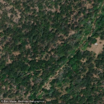
Learn how to get on Mount Barney Creek. Uncover great paddling access points, boat ramps, and all the facilities you need for an unforgettable day on the water. Some locations shown may border or include private property. Always check property boundaries and applicable regulations before visiting. PaddleWays's Public & Private Land layer can help you plan your access with confidence.
Paddle smarter with real-time insights
Whether you're en route and conditions shift or you're looking for the best spot based on current flows, we enable you to make informed decisions on the fly.







Queensland licenses and regulations

Find Places to Paddle

Over 400,000 Places to Paddle
Every user gets free access to launch points, boat ramps, and public property parcels.


Water and weather conditions (10 day forecast)
See the best times to paddle Mount Barney Creek and check the forecast before you go.
No forecast data available.
Paddling near Mount Barney Creek
Nerang River
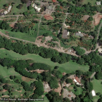
Mudgeeraba Creek
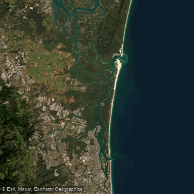
Southern Moreton Bay
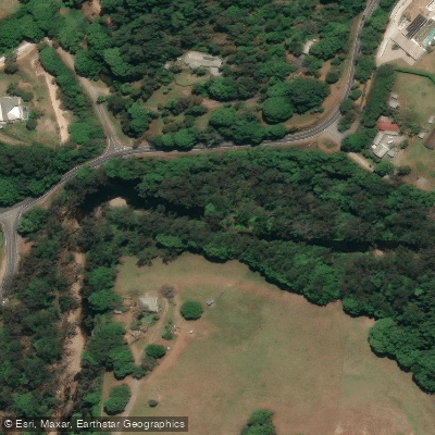
Tallebudgera Creek
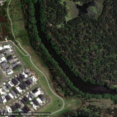
Coombabah Creek

Moreton Bay
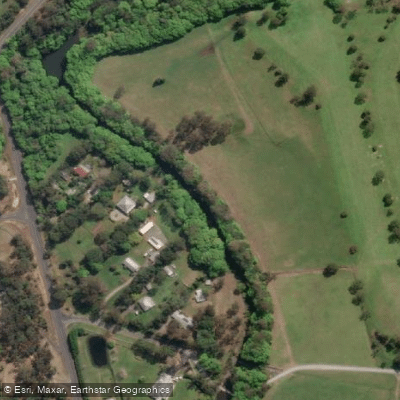
Coomera River
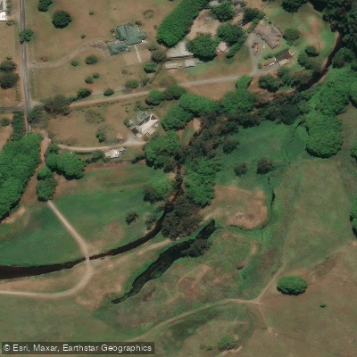
Currumbin Creek
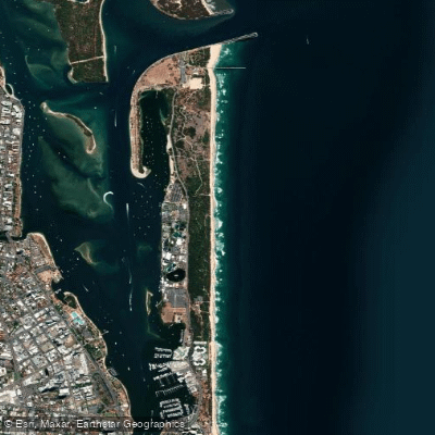
The Spit Beach
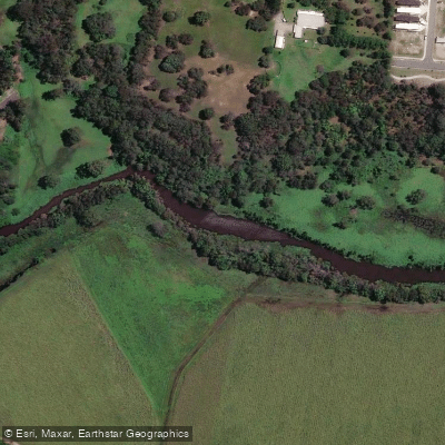
Pimpama River
Explore Queensland waters
Top paddling waters
No waters available right now.
Popular Cities
Loading popular cities...
Explore near Mount Barney Creek

Smarter Paddling Starts in the App.
Paddleways gives you everything you need to plan smarter, paddle better, and own every trip from first launch to takeout.