Logan River
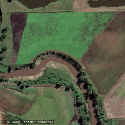
Logan River
- Boat Ramps
- 8
- Access Points
- 1
- Campsites
- 1
The Logan River flows through the City of Logan in southeast Queensland, approximately 35 minutes south of Brisbane. The river forms part of a dedicated canoe and kayak trail system developed by Logan City Council, which encompasses six different paddles on both the Albert and Logan rivers, ranging from Carbrook to Waterford on the Logan River and extending up to Beenleigh on the Albert River. The trail caters to a range of abilities, from beginners to more experienced paddlers.
A well-documented route runs from Albert River Park to Logan River Parklands, covering approximately 13.7 km and taking around 3.5 hours at a moderate pace with stops. This route is rated easy in terms of both access and difficulty. Paddlers can extend the trip by continuing to Alexander Clark Park, though the return leg from that point requires paddling against the current. While manageable, this adds considerable effort over the full distance.
Multiple pontoons are spaced along the trail, providing convenient launch and exit points. At Albert River Park, two pontoons are available — the first is roughly 200 metres from the car park along a well-paved track, while the second can be accessed directly by vehicle, making it preferable for those carrying rigid kayaks. Pontoons at Skinners Park and Logan River Parklands are both located close to car parks. The pontoons have been renovated with submerged flat decks and handrails to assist with entry and exit, particularly useful when paddlers are fatigued.
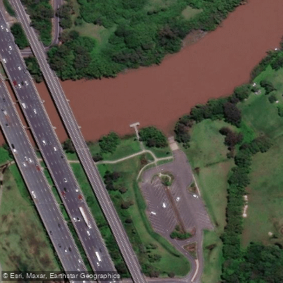
An additional access point exists at the Logan River Boat Ramp in Alberton, on the northern edge of the Gold Coast. This facility features a wide single-lane concrete ramp with a floating pontoon, ample parking for vehicles with trailers, public toilets, BBQ facilities, and a picnic area. From this ramp, paddlers can travel up or down the river, including connecting to the Albert River.
The river corridor supports diverse birdlife, with notable bird-watching opportunities particularly in the first stretch near Albert River Park. The waterway passes through areas of historical and natural interest, and the trail is promoted as suitable for exercise, fishing, and family outings. Tidal conditions affect some sections, particularly near the Alberton boat ramp where high tide can reduce beach access on either side of the ramp.
Water access, boat ramps & amenities
Learn how to get on Logan River. Uncover great paddling access points, boat ramps, and all the facilities you need for an unforgettable day on the water. Some locations shown may border or include private property. Always check property boundaries and applicable regulations before visiting. PaddleWays's Public & Private Land layer can help you plan your access with confidence.
Paddle smarter with real-time insights
Whether you're en route and conditions shift or you're looking for the best spot based on current flows, we enable you to make informed decisions on the fly.







Queensland licenses and regulations

Find Places to Paddle

Over 400,000 Places to Paddle
Every user gets free access to launch points, boat ramps, and public property parcels.


Water and weather conditions (10 day forecast)
See the best times to paddle Logan River and check the forecast before you go.
Logan R At Forest Home
All Flow Stations
Paddling near Logan River
Bulimba Creek

Moreton Bay
Tingalpa Creek
Oxley Creek
Southern Moreton Bay
Albert River
Brisbane River
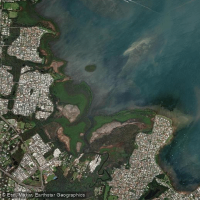
Eprapah Creek
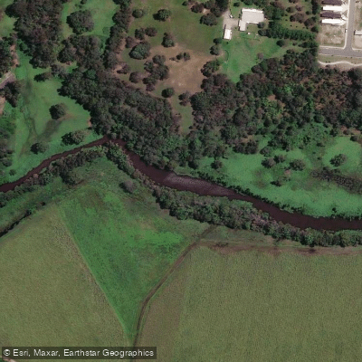
Pimpama River
Explore Queensland waters
Top paddling waters
No waters available right now.
Popular Cities
Loading popular cities...
Explore near Logan River
Access points
Nearby waters
More in Queensland

Smarter Paddling Starts in the App.
Paddleways gives you everything you need to plan smarter, paddle better, and own every trip from first launch to takeout.