Paddling in Mount Buffalo National Park
- National Park
- Lakes
- 4
- Rivers
- 32
- Access
- 0
- Boat Ramps
- 0
- Shops
- 0
Mount Buffalo National Park sits on a high granite plateau in Victoria's High Country, rising sharply above the valleys of the Ovens and Buckland rivers. The water here is alpine in character — cold, rainfall- and snowmelt-dependent, and shaped by elevation.
What flows inside and immediately below the park reflects that: streams that run hard in late winter and spring, ease through summer, and define their paddling seasons by what falls from the sky and melts off the plateau.
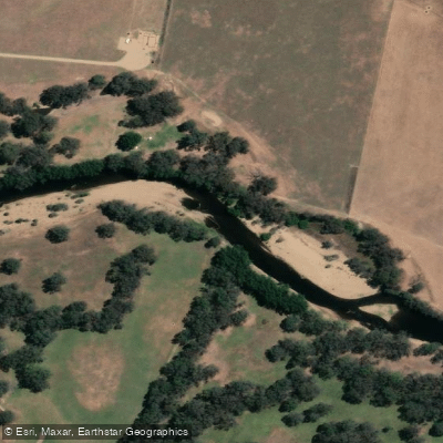
The Ovens River is the main paddling draw in the region.
Below the plateau, around Myrtleford and Bright, it runs at Grade 1–2 in its gentler sections — approachable for beginners, especially on guided trips — but in winter, when snowmelt and rain push levels up, the pace quickens considerably.
The river is paddleable year-round, with the character of the experience shifting significantly between seasons.
Summer brings a slower, more touring-oriented float; winter and early spring bring the kind of water that rewards experience and demands attention to levels before you put on.
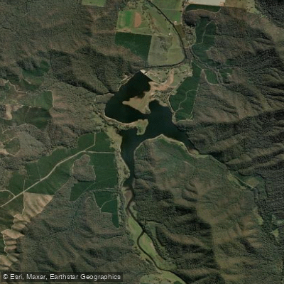
Lake Buffalo sits at the western foot of the park, a large impoundment managed by Goulburn-Murray Water. At roughly 340 hectares, it accommodates flatwater paddling — kayak, canoe, paddleboard — alongside motorized craft.
A 5-knot speed limit applies within 60 metres of the shore, other vessels, and fixed structures. Water levels fluctuate and submerged hazards are present; checking conditions before launching is not optional.
Motorized vessels require registration with Maritime Safety Victoria and a Recreational Boating Licence. Buffalo Creek and Little Buffalo Creek drain the plateau itself, feeding the larger systems below.
The Buckland River runs east of the main massif through its own valley. The park's alpine setting means conditions can change fast. Water temperatures stay cold well into the paddling season, and flows respond quickly to weather.
That's not a reason to stay off the water — it's a reason to check levels, dress for immersion, and plan around the season rather than the calendar date.
Water and weather conditions (10 day forecast)
See the best times to paddle Mount Buffalo National Park and check the forecast before you go.
No forecast data available.
Paddle smarter with real-time insights
Whether you're en route and conditions shift or you're looking for the best spot based on current flows, we enable you to make informed decisions on the fly.







Paddling near Mount Buffalo National Park
Loading...
Gateway towns
Where to base yourself for paddling in Mount Buffalo National Park.
- BrightVictoria
The main base for Mount Buffalo, with lodging, restaurants, and outfitters at the foot of the park's access road.
- PorepunkahVictoria
Sits at the start of the Mount Buffalo road and is a popular accommodation base with direct park access.
- MyrtlefordVictoria
A nearby town with lodging options that serves visitors heading up to Mount Buffalo.
Explore Mount Buffalo National Park
Top paddling waters
Popular Cities
Loading popular cities...

Smarter Paddling Starts in the App.
Paddleways gives you everything you need to plan smarter, paddle better, and own every trip from first launch to takeout.