Buckland River
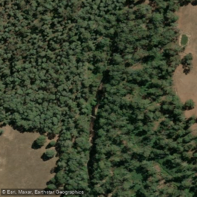
Buckland River
- Boat Ramps
- 0
- Access Points
- 0
- Campsites
- 2
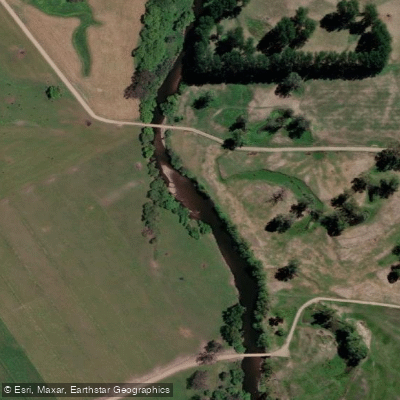
The Buckland River is a perennial river in the Alpine region of Victoria, Australia, flowing approximately 39 kilometres from the eastern slopes of the Buffalo Range through the Buckland Valley before joining the Ovens River at Porepunkah. The river drains a catchment of roughly 322 square kilometres and drops from around 556 metres elevation at its source to 274 metres at its mouth. It has two main upper branches — the East and West Buckland — which converge before the river continues downstream through farmland and forest.
The most commonly paddled section runs from Harris Lane to the Ovens River confluence, covering approximately 5 to 6 kilometres. The put-in at Harris Lane, off Buckland Valley Road, is straightforward at the bridge. Shortly after launching, paddlers encounter a waterfall-style drop that is the most significant rapid on the section — at lower water it presents as a distinct waterfall, while at higher flows it becomes a grade 3 playhole. This rapid also functions as a local swimming hole with cliffs suitable for jumping. Downstream, the river continues with numerous grade 2 rapids and one larger grade 2+ ledge drop before reaching the Ovens confluence. The egress is either at a bridge before the confluence or at the confluence itself.
A further upstream section on the East Buckland, from Head Race Flat to the confluence of the East and West branches, covers 5 to 6 kilometres and takes approximately 1.5 hours at a gauge reading of 0.7 on the Upper Buckland Gauge. This stretch features mainly grade 2 rapids and gravel races, with some grade 2+ drops in the higher reaches. The water is clear and clean, and the scenery includes temperate rainforest. From the East/West confluence downstream to 12 Mile is another roughly 6 kilometres, taking 1.5 to 2 hours, with predominantly gravel races and accessible grassy campsites along the way. This upper section is considered suitable for beginners, families, and overnight trips.
The section between Buckland Bridge and Harris Lane is generally considered less desirable due to the river being narrow and prone to log jams. Logs are noted as an occasional hazard throughout the river. Old gold mining works along the riverbanks can also present unexpected hazards including cliffs and drops. Accommodation is available in the nearby towns of Bright and Porepunkah.
Water access, boat ramps & amenities
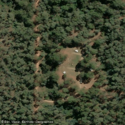
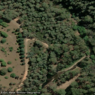
Learn how to get on Buckland River. Uncover great paddling access points, boat ramps, and all the facilities you need for an unforgettable day on the water. Some locations shown may border or include private property. Always check property boundaries and applicable regulations before visiting. PaddleWays's Public & Private Land layer can help you plan your access with confidence.
Paddle smarter with real-time insights
Whether you're en route and conditions shift or you're looking for the best spot based on current flows, we enable you to make informed decisions on the fly.








Find Places to Paddle

Over 400,000 Places to Paddle
Every user gets free access to launch points, boat ramps, and public property parcels.


Water and weather conditions (10 day forecast)
See the best times to paddle Buckland River and check the forecast before you go.
Buckland River @ Harris Lane
All Flow Stations
Paddling near Buckland River
Murray River
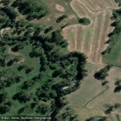
Kiewa River
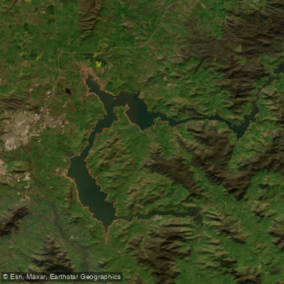
Lake Hume
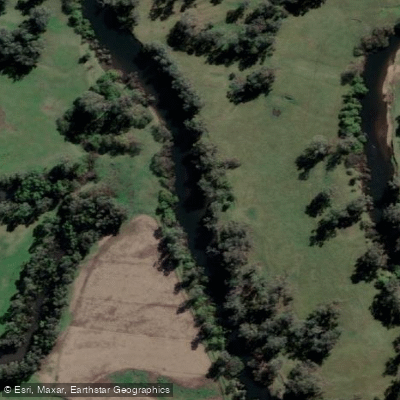
Mitta Mitta River
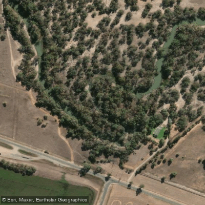
Billabong Creek
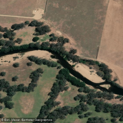
Ovens River
Buffalo Creek
Murray River
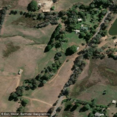
Back Creek
Murray River
Explore Victoria waters
Top paddling waters
No waters available right now.
Popular Cities
Loading popular cities...
Explore near Buckland River

Smarter Paddling Starts in the App.
Paddleways gives you everything you need to plan smarter, paddle better, and own every trip from first launch to takeout.