Ovens River
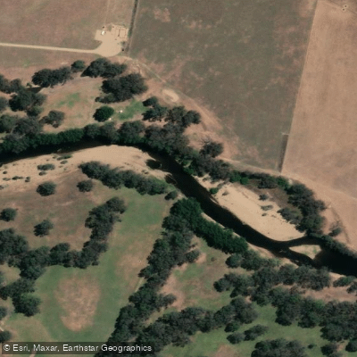
Ovens River
- Boat Ramps
- 5
- Access Points
- 0
- Campsites
- 7
The Ovens River (also known as Torryong) rises in the Victorian Alps near Mount Feathertop and Mount Hotham, formed by the confluence of its east and west branches at Harrietville. From there it flows north-west through Bright, Porepunkah, Myrtleford, and Wangaratta before joining the Murray River near Bundalong. The full paddleable length from Harrietville to the Murray covers approximately 216 kilometres.
The upper reaches around Harrietville, Bright, and Porepunkah offer grade 2–3 whitewater, with the section through Bright town running roughly 1.5 kilometres between Hawthorn Lane and Ashwood Avenue. These upper sections are prone to snagging and require adequate water levels to paddle safely; a gauge reading above 1.3 metres at Bright is one threshold paddlers have used to assess viability. The Buckland River confluence near Buckland Junction provides an additional put-in option, with the upstream sections rated grade 1–2. Around Myrtleford, grade 2 rapids are accessible via guided tours, and the river flows through scenic alpine and foothill country throughout this stretch.
Winter brings higher, faster flows to the upper river, making it more suitable for whitewater paddling, while summer sees lower, slower water that allows for a more relaxed pace. The catchment is largely unregulated, with only two dams in the system — Lake Buffalo on the Buffalo River and Lake William Hovell on the King River — meaning flows are predominantly natural and can vary considerably with rainfall.
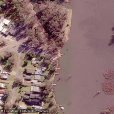
In the lower reaches near Bundalong, the character shifts entirely. The river enters a labyrinth of channels and flooded billabongs between the Ovens and the Murray, offering flatwater boating, fishing, and camping opportunities. Pyke Street Boat Ramp at Bundalong provides access to this section and is a known water skiing venue. Boorhaman North Recreation Reserve, located approximately 9.3 kilometres by road from the nearest formal boating facility to the north and around 30 kilometres from Wangaratta to the south, serves as a critical access point for the mid-to-lower river within State Forest, with picnic facilities, barbecues, toilets, and parking available.
Accommodation is available in Bright and Porepunkah for paddlers tackling the upper sections. The nearest hospital to the Bright area is at Mount Beauty, and the nearest police are based in Bright.
Water access, boat ramps & amenities
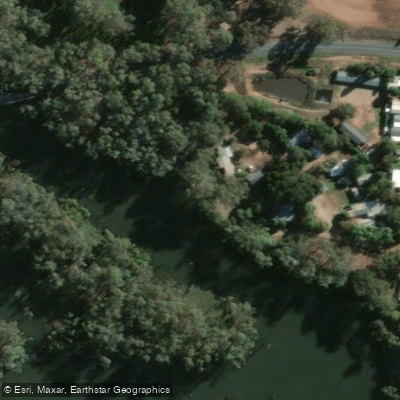
Learn how to get on Ovens River. Uncover great paddling access points, boat ramps, and all the facilities you need for an unforgettable day on the water. Some locations shown may border or include private property. Always check property boundaries and applicable regulations before visiting. PaddleWays's Public & Private Land layer can help you plan your access with confidence.
Paddle smarter with real-time insights
Whether you're en route and conditions shift or you're looking for the best spot based on current flows, we enable you to make informed decisions on the fly.








Find Places to Paddle

Over 400,000 Places to Paddle
Every user gets free access to launch points, boat ramps, and public property parcels.


Water and weather conditions (10 day forecast)
See the best times to paddle Ovens River and check the forecast before you go.
Ovens River @ Wangaratta
All Flow Stations
Paddling near Ovens River
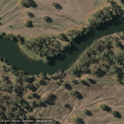
Murray River
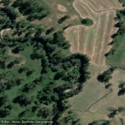
Kiewa River
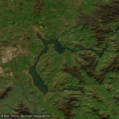
Lake Hume
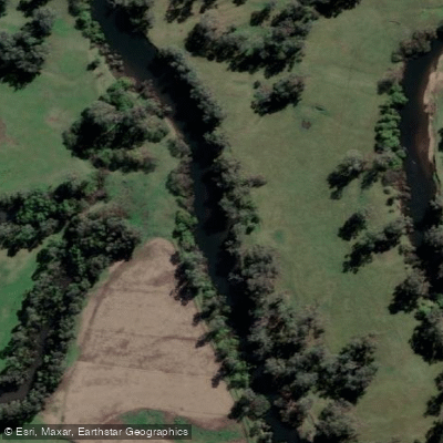
Mitta Mitta River
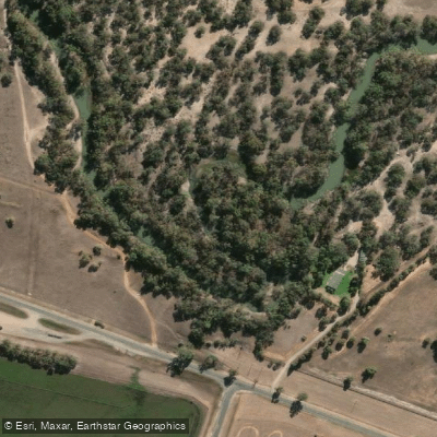
Billabong Creek
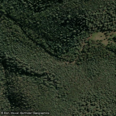
Buffalo Creek
Murray River
Back Creek
Murray River
Explore Victoria waters
Top paddling waters
No waters available right now.
Popular Cities
Loading popular cities...
Explore near Ovens River
Access points
Nearby waters
More in Victoria

Smarter Paddling Starts in the App.
Paddleways gives you everything you need to plan smarter, paddle better, and own every trip from first launch to takeout.