Paddling in Murramarang National Park
- National Park
- Lakes
- 2
- Rivers
- 17
- Access
- 0
- Boat Ramps
- 2
- Shops
- 0
Murramarang National Park runs along the New South Wales South Coast, roughly 10 minutes north of Batemans Bay, where spotted gum forest drops steeply to the sea.
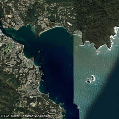
The paddling here is coastal and lake-based — no whitewater, no rivers to read — and the park's character comes from the way protected water sits right against open ocean. Durras Lake is the anchor.
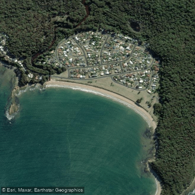
One of the more pristine coastal lakes in New South Wales, it sits surrounded by park land at South Durras and draws canoeists and kayakers who want calm, sheltered water.
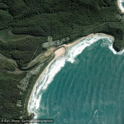
The Durras Lake Discovery Trail pairs well with a paddle here, and the inlet connecting the lake to the surf beach is a notably safe and scenic stretch in warmer months.
Bay & Beyond Sea Kayak Tours, based close to the lake, has been running guided paddles and rentals — singles, doubles with rudders, and stand-up paddleboards — out of South Durras since 1999, and they carry Paddle Australia-certified instruction.
The sea kayak route along the park's coastline is the other main draw. Guided day trips typically run between Kioloa and Depot Beach, direction chosen on the day based on wind and swell.
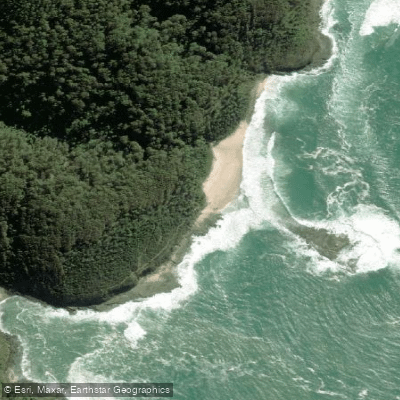
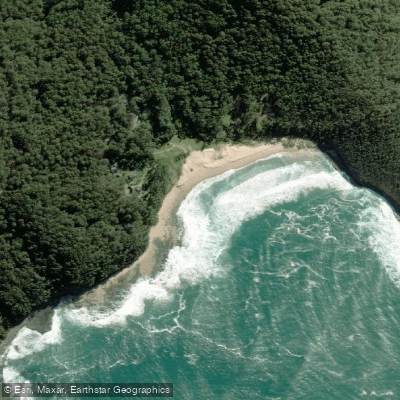
The spotted gum forest pressing to the cliff edge makes much of this shoreline inaccessible by foot, which means a sea kayak is genuinely the best way to reach certain beaches and coves. Double sea kayaks are the standard tool on guided trips here.
Spring brings migrating whales close to the coast — August through November is the window — and dolphins, seals, and sea birds are possible year-round.
This is a national park managed by NSW National Parks and Wildlife Service, and the rules that apply here are park-specific. Check with NPWS before you go, particularly around access and any conditions on the water.
The paddling in Murramarang rewards patience and timing. Pick a calm morning on Durras Lake or wait for the right swell window before committing to the coastal run — the park doesn't give its best water to anyone in a hurry.
Top waters to paddle near Murramarang National Park



Water and weather conditions (10 day forecast)
See the best times to paddle Murramarang National Park and check the forecast before you go.
No forecast data available.
Paddle smarter with real-time insights
Whether you're en route and conditions shift or you're looking for the best spot based on current flows, we enable you to make informed decisions on the fly.







Paddling near Murramarang National Park
Loading...
Gateway towns
Where to base yourself for paddling in Murramarang National Park.
- Batemans BayNew South Wales
Nearest town to the park's southern entrances, used as a base for guided walks and multi-day experiences.
- Bawley PointNew South Wales
Sits at the northern park entrance, giving direct access to Pretty Beach and Merry Beach.
- KioloaNew South Wales
Small coastal village within the northern section of the park, close to several beaches and campgrounds.
- North DurrasNew South Wales
Located at the southern entrance near Depot Beach, with holiday park accommodation beside Durras Lake.
- UlladullaNew South Wales
Nearby service town at the northern end of the park corridor, a starting point for the Murramarang South Coast Walk.
Explore Murramarang National Park
Top paddling waters
Popular Cities
Loading popular cities...

Smarter Paddling Starts in the App.
Paddleways gives you everything you need to plan smarter, paddle better, and own every trip from first launch to takeout.