Batemans
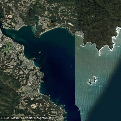
Batemans
- Boat Ramps
- 1
- Access Points
- 2
- Campsites
- 1
Batemans Bay is a coastal bay on the New South Wales South Coast, situated at the mouth of the Clyde River in the Eurobodalla region. The bay is partially sheltered by the Tollgate Islands and the Clyde River mouth, which reduces ocean swell and produces relatively reliable conditions for paddlers across a range of experience levels. On calm mornings, the water between the foreshore and the islands can be exceptionally flat, making early starts particularly rewarding.
The most popular launch points are on the north and south sides of the Batemans Bay Bridge, where paddlers can access shallow water easily. From the foreshore, a short paddle to Snapper Island takes under an hour and covers a representative stretch of estuary scenery. The Batemans Bay Kayaking Trail begins at Surfside Beach, rounding the point into Cullendulla Creek — a sheltered spot recommended for exploration at higher tides or between tides. The creek borders Cullendulla Nature Reserve, where a boardwalk with interpretive signage covers the area's Aboriginal history. Historic railway remains are also present in the vicinity.
The lower Clyde River, accessible from the bay, is wide, protected, and largely free of strong currents, making it one of the more accessible estuary paddles in the region. A one-way paddle upstream to Nelligen covers approximately 15 kilometres, passing Big and Little Island within Clyde River National Park, both of which have beach landing spots on their southern shores. The riverside village of Nelligen, roughly 10 minutes from Batemans Bay, serves as a practical turnaround point. The Buckenbowra River is noted as a worthwhile side trip for those with time. Paddlers should check tides before departing and be aware of strong tidal flows; the river bar downstream of the Batemans Bay Bridge should be avoided.
Wildlife encounters in the area include sea eagles, rays, dolphins, whales, turtles, and schools of fish. The surrounding landscape includes mangrove-lined waterways, oyster leases, and the forested banks of Clyde River National Park. Guided kayak tours and hire equipment are available locally through several operators, including Region X and Bay and Beyond, which have been running tours in the area since 1999. Tours cover the Marine Park, islands, reefs, mangroves, and sand flats.
Water access, boat ramps & amenities
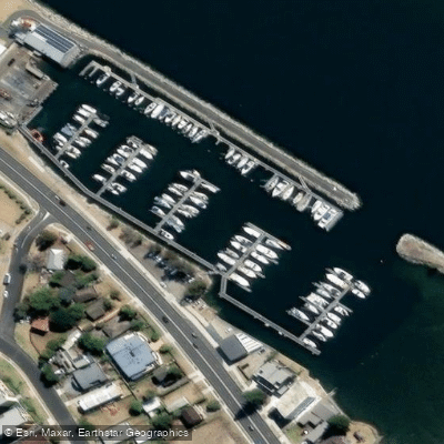
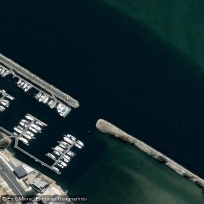
Learn how to get on Batemans. Uncover great paddling access points, boat ramps, and all the facilities you need for an unforgettable day on the water. Some locations shown may border or include private property. Always check property boundaries and applicable regulations before visiting. PaddleWays's Public & Private Land layer can help you plan your access with confidence.
Paddle smarter with real-time insights
Whether you're en route and conditions shift or you're looking for the best spot based on current flows, we enable you to make informed decisions on the fly.








Find Places to Paddle

Over 400,000 Places to Paddle
Every user gets free access to launch points, boat ramps, and public property parcels.


Water and weather conditions (10 day forecast)
See the best times to paddle Batemans and check the forecast before you go.
No forecast data available.
Paddling near Batemans

Murrumbidgee River

Molonglo River

Queanbeyan River

Cotter River

Googong Reservoir

Shoalhaven River

Lake Burrinjuck

Goobagandra River

Eucumbene River

Lake Eucumbene
Explore New South Wales waters
Top paddling waters
No waters available right now.
Popular Cities
Loading popular cities...
Explore near Batemans
Access points
Nearby waters
More in New South Wales

Smarter Paddling Starts in the App.
Paddleways gives you everything you need to plan smarter, paddle better, and own every trip from first launch to takeout.