Paddling in Murray River National Park
- National Park
- Lakes
- 8
- Rivers
- 9
- Access
- 0
- Boat Ramps
- 0
- Shops
- 0
Murray River National Park sits in South Australia's Riverland, roughly between Berri and Loxton, protecting a broad sweep of floodplain and wetland country along the lower Murray.
The paddling here is flatwater — no rapids, no technical whitewater — but the network of creeks, lagoons, and backwaters threading through the park's roughly 14,879 hectares makes for genuinely exploratory paddling that the main river channel alone can't provide.
Katarapko Creek is the heart of it.
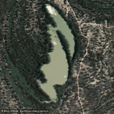
Mostly contained within the park, the Katarapko area covers around 9,000 hectares of floodplains and wetlands with approximately 38 kilometres of waterways, including The Splash, Sawmill and Piggy creeks, Horseshoe Lagoon, Katarapko Island swamps, and the Eckert Creek and Ngak Indau wetlands.
Motor boats are rare on Katarapko Creek, which changes the feel of a paddle considerably — quieter water, more wildlife, more room to move slowly.
When flows are higher, the floodplain itself opens up and paddlers can push out across inundated country well beyond the defined creek channels. Eckert Creek and its southern arm extend the wetland paddling further into the park's interior.
Horseshoe Lagoon and the Ral Ral Wide Waters offer calmer, more open water. Gurra Gurra Creek and Yabbi Creek round out the network of smaller channels worth exploring when water levels allow. Water levels govern everything here.
The Murray and its connected wetlands respond to upstream flows and managed environmental watering events — the park actively uses flooding to restore floodplain ecology, and sections of road and campsite access close when that watering is underway.
Check current conditions with the park before you go; closures can affect launch points as much as campsites. BYO boat is the standard — there are no hire operations inside the park itself.
This is a place where the paddling and the conservation work are genuinely intertwined. Environmental watering pulses life back into the creeks and lagoons, and the best paddling often follows those flows.
Timing a visit to coincide with higher water isn't just about access — it's when the park is most itself.
Top waters to paddle near Murray River National Park

Murray River
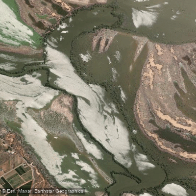
Ral Ral Wide Waters
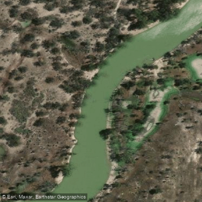
Katarapko Creek
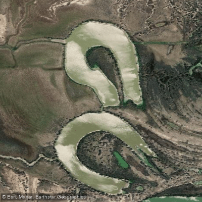
Horseshoe Lagoon
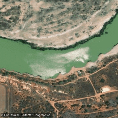
Gurra Gurra Creek
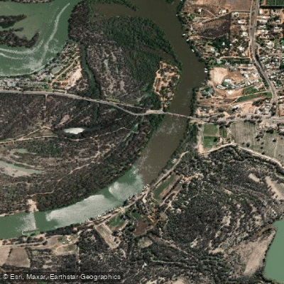
Renmark Weir
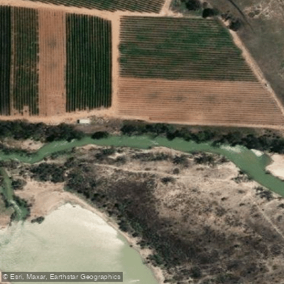
Eckert Creek
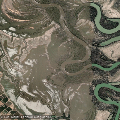
Bulyong Island Basin
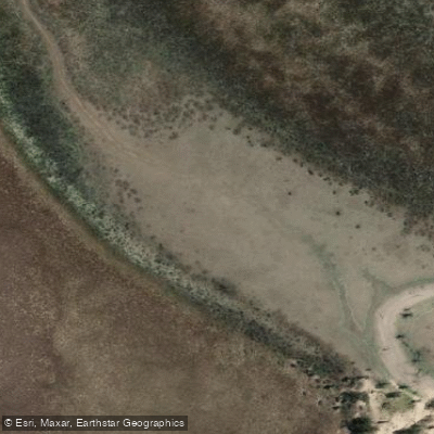
Yabbi Creek
Ngak Indau Wetland
Water and weather conditions (10 day forecast)
See the best times to paddle Murray River National Park and check the forecast before you go.
No forecast data available.
Paddle smarter with real-time insights
Whether you're en route and conditions shift or you're looking for the best spot based on current flows, we enable you to make informed decisions on the fly.







Paddling near Murray River National Park
Loading...
Gateway towns
Where to base yourself for paddling in Murray River National Park.
- RenmarkSA
The main service town for the park, with canoe outfitters, guided tours, accommodation, and the primary launch point for river access.
- BerriSA
Riverland hub close to the park with supermarkets, fuel, and lodging for visitors stocking up before heading to park campsites.
- GlossopSA
Small town immediately adjacent to the park with motel accommodation used as a base for park day trips.
Explore Murray River National Park
Top paddling waters
Popular Cities
Loading popular cities...

Smarter Paddling Starts in the App.
Paddleways gives you everything you need to plan smarter, paddle better, and own every trip from first launch to takeout.