Katarapko Creek
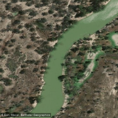
Katarapko Creek
- Boat Ramps
- 0
- Access Points
- 0
- Campsites
- 35
Katarapko Creek is located within the Katarapko section of Murray River National Park in South Australia's Riverland, situated between Berri and Loxton approximately 250 kilometres from Adelaide. The broader Katarapko area covers around 9,000 hectares of floodplains and wetlands, encompassing 38 kilometres of waterways that include Katarapko Creek, Eckert Creek, The Splash, Sawmill Creek, Piggy Creek, and a series of billabongs and lagoons. The creek network threads through river red gum forest and black box woodland, with channels ranging from narrow, densely vegetated passages to open lagoons.
There are three vehicle access points to the Katarapko section: the Lock 4 entrance via Draper Road from Berri, the Eckert's Creek entrance via Migga Road and Lower Winkie Road off the Old Sturt Highway, and the Katarapko Creek entrance via Winkie Road and Katarapko Crescent off the Old Sturt Highway between Glossop and Berri. Paddlers can launch from any of these points and combine waterways in various configurations to suit trips ranging from one to two hours up to multi-day overnight journeys. A shuttle or pick-up service is available through local operators for one-way trips.
Several obstacles require attention. Lock 4 is difficult to portage and it is generally preferable to pass through the lock during operating hours, which are 8:00 am to 11:30 am and 1:00 pm to 4:30 pm daily; the lock can be contacted on 85821388. The Stone Weir on Katarapko Creek cannot typically be paddled over and requires a portage, best executed on the right-hand side when travelling downstream. Concrete regulators at various points along the creek system may also require portaging depending on operating conditions; local advice is recommended before departure. Water levels directly affect navigability — when levels are low, some sections of the creek are not passable.
The 55 designated campsites scattered along the Murray River, Eckert Creek, and Katarapko Creek must be booked through National Parks prior to departure. Toilets, a picnic area, and BBQ facilities are available at the Lock 4 launch site. Wildlife encountered along the creek includes a wide variety of birdlife — the Ngak Indau Wetland Trail is noted for bird observation and includes a dedicated bird hide — as well as kangaroos, emus, and aquatic species. The creek system is also recognised as important habitat for native fish.
Water access, boat ramps & amenities
Learn how to get on Katarapko Creek. Uncover great paddling access points, boat ramps, and all the facilities you need for an unforgettable day on the water. Some locations shown may border or include private property. Always check property boundaries and applicable regulations before visiting. PaddleWays's Public & Private Land layer can help you plan your access with confidence.
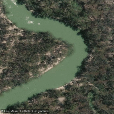
Katarapko Campsite 19 Group Site (Causeway)
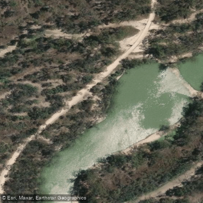
Katarapko Campsite 20
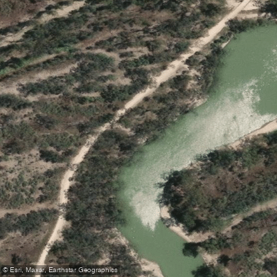
Katarapko Campsite 21
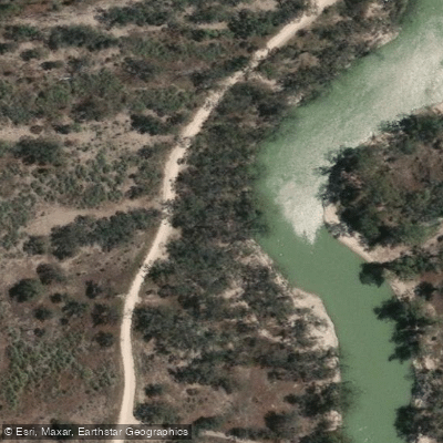
Katarapko Campsite 22
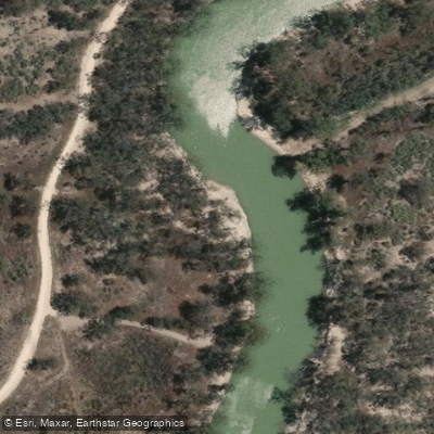
Katarapko Campsite 23
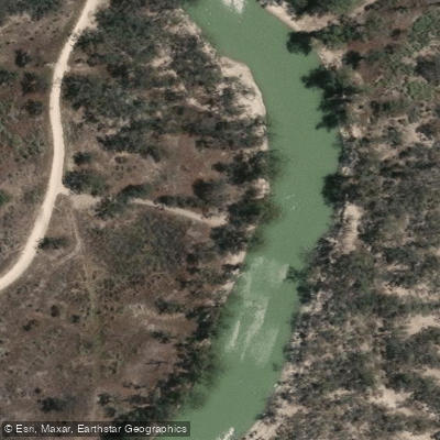
Katarapko Campsite 24
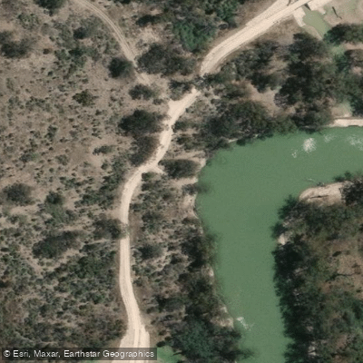
Katarapko Campsite 25
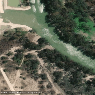
Katarapko Campsite 26
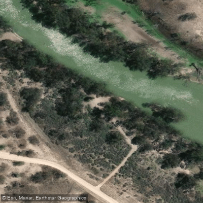
Katarapko Campsite 27
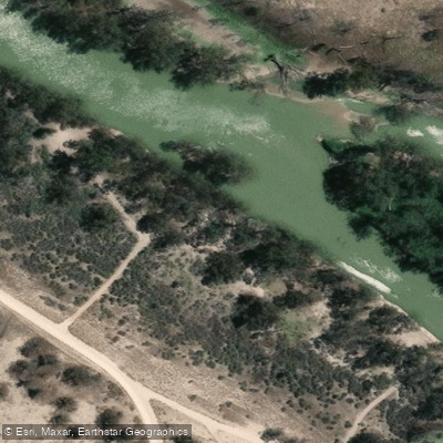
Katarapko Campsite 28
Paddle smarter with real-time insights
Whether you're en route and conditions shift or you're looking for the best spot based on current flows, we enable you to make informed decisions on the fly.







South Australia licenses and regulations

Find Places to Paddle

Over 400,000 Places to Paddle
Every user gets free access to launch points, boat ramps, and public property parcels.


Water and weather conditions (10 day forecast)
See the best times to paddle Katarapko Creek and check the forecast before you go.
Katarapko Creek 1.7Km Ds Eckert Ck & The Splash Juncter
All Flow Stations
Paddling near Katarapko Creek

Murray River
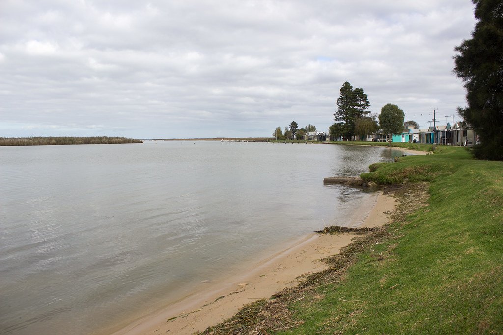
Lake Alexandrina
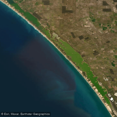
The Coorong and Lower Lakes
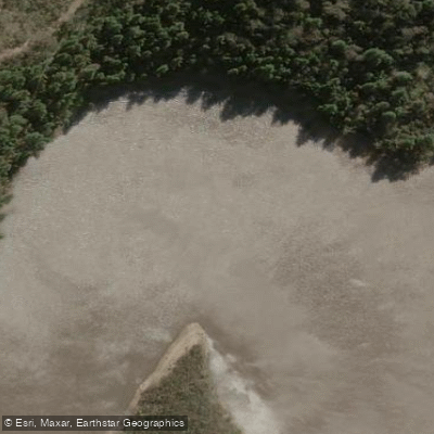
Onkaparinga River
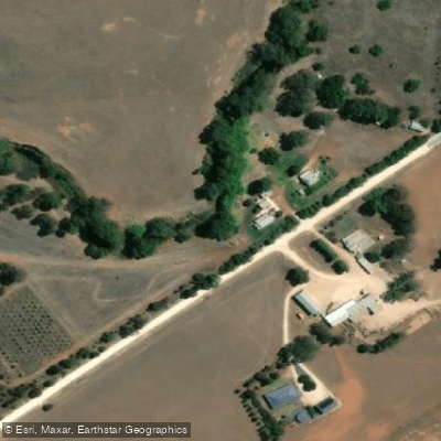
Bremer River
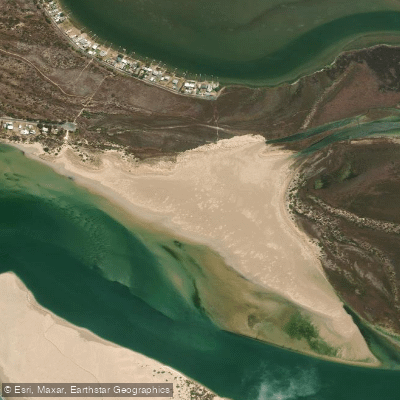
Sugars Beach
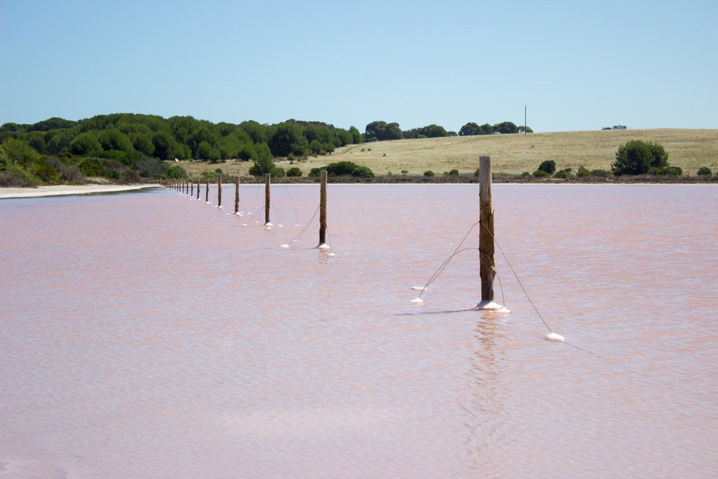
The Coorong
River Torrens
Goolwa Beach
Salt Creek
Explore South Australia waters
Top paddling waters
No waters available right now.
Popular Cities
Loading popular cities...
Explore near Katarapko Creek
Access points
Nearby waters
More in South Australia

Smarter Paddling Starts in the App.
Paddleways gives you everything you need to plan smarter, paddle better, and own every trip from first launch to takeout.