Ral Ral Wide Waters
Ral Ral Wide Waters
- Boat Ramps
- 0
- Access Points
- 0
- Campsites
- 0
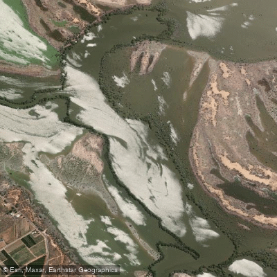
Ral Ral Wide Waters is a large, open body of water located in the Riverland region of South Australia, formed where Ral Ral Creek broadens significantly before connecting with Nelbuck Creek. It is notably wider than the Murray River itself, giving it a distinctly lake-like character despite being part of the creek system. The water is generally placid and sheltered, making it accessible to paddlers of varying experience levels, though its open expanse can be exposed to wind.
The wide waters sit at approximately GPS 34.0894 S, 140.7304 E, where Nelbuck Creek meets Ral Ral Creek. It is commonly encountered as part of multi-day loop trails through the Riverland backwaters. The Ral Ral Creek Loop Trail (Trail 33) begins at Crooked Straight Campground at Murtho Forest Landing off Murtho Road. From there, paddlers travel roughly 6.25 km downstream along the Murray River to the entrance of Nelbuck Creek, follow that creek for approximately 3.5 km, and arrive at Ral Ral Wide Waters. The wide waters themselves span roughly 2 km in the north-south direction, with the continuation of Ral Ral Creek entering on the left-hand side when heading north. The Nelbuck Island Loop Trail also passes through, approaching from Ral Ral Creek after traveling via Kylie Creek.
Campsites are available on the banks of Ral Ral Wide Waters, making it a practical overnight stop on multi-day trips. Paddlers traveling through the area pass through National Park and reserve lands, so awareness of relevant regulations is advisable.
Wildlife is a notable feature of the wide waters. Pelicans and swans are commonly observed taking advantage of the open, calm water. The surrounding creek sections are lined with large river gum trees, and the broader Chowilla and Murtho Forest areas provide a backdrop of typical Murray River floodplain vegetation.
The trail can be paddled in either direction. Paddlers should be aware that Nelbuck Creek can carry a strong current, which may require paddling against the flow depending on direction of travel. Snags are present in the creek sections approaching the wide waters. Navigation through the creek network benefits from GPS, as multiple creek entrances and junctions can be difficult to distinguish. Life jacket regulations for South Australian inland protected waters apply throughout this area.
Water access, boat ramps & amenities
Learn how to get on Ral Ral Wide Waters. Uncover great paddling access points, boat ramps, and all the facilities you need for an unforgettable day on the water. Some locations shown may border or include private property. Always check property boundaries and applicable regulations before visiting. PaddleWays's Public & Private Land layer can help you plan your access with confidence.
Paddle smarter with real-time insights
Whether you're en route and conditions shift or you're looking for the best spot based on current flows, we enable you to make informed decisions on the fly.







South Australia licenses and regulations

Find Places to Paddle

Over 400,000 Places to Paddle
Every user gets free access to launch points, boat ramps, and public property parcels.


Water and weather conditions (10 day forecast)
See the best times to paddle Ral Ral Wide Waters and check the forecast before you go.
No forecast data available.
Paddling near Ral Ral Wide Waters

Murray River
Darling River
Great Darling Anabranch
Lake Hawthorn
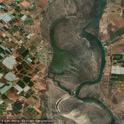
Kings Billabong
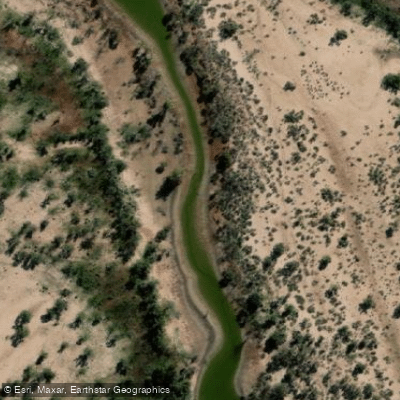
Wallpolla Creek
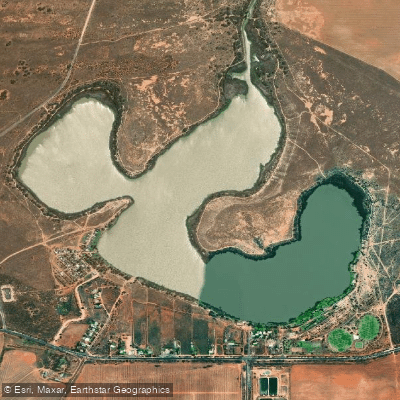
Lake Cullulleraine
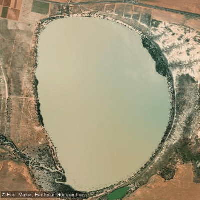
Lake Benanee
Dry Lake
Potterwalkagee Creek
Explore South Australia waters
Top paddling waters
No waters available right now.
Popular Cities
Loading popular cities...
Explore near Ral Ral Wide Waters

Smarter Paddling Starts in the App.
Paddleways gives you everything you need to plan smarter, paddle better, and own every trip from first launch to takeout.