Paddling in Murray Valley National Park
- National Park
- Lakes
- 11
- Rivers
- 39
- Access
- 0
- Boat Ramps
- 1
- Shops
- 0
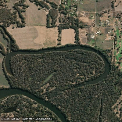
Murray Valley National Park sits in the Riverina along the New South Wales side of the Murray River, protecting the largest continuous river red gum forest in the world within a Ramsar-listed wetland system.
The paddling here is flatwater — slow, wide river channels, secluded creeks, and seasonal lakes threading through the forest.
This is not whitewater country; it's a place where the current does most of the work and the reward is immersion in one of Australia's most significant floodplain ecosystems. The Murray River is the backbone of the paddling.
Four marked canoe trails run through Murray Valley National Park and across into Victoria's Barmah National Park, ranging from 2. 7km loops to a 17. 4km one-way run from Picnic Point to the Barmah Lakes day visitor area. All are Grade I.
Water level matters here more than skill: the Murray paddles best between 1. 4m and 2. 4m; below 1. 2m it gets too shallow to move comfortably, and above 2. 7m conditions become dangerous. Check levels before you launch.
Barmah Lake, accessible from the trail network, has its own window — optimal between 2. 2m and 2. 8m, with its own upper and lower limits to respect.
The Edward River near Mathoura offers a designated canoe trail of its own, a quieter channel that gives a different character to the park's paddling — narrower, more enclosed by the forest canopy.
The Wakool River and Gulpa Creek extend the network of navigable water through the park's wetland country, though the Murray and Edward carry the most established access. September through April is the reliable season across the park.
BYO boat — there are no rentals inside the park. NPWS provides PDF maps for the Murray trails and a GPS-enabled app worth downloading before you lose signal in the forest.
Paddling inside a national park here means moving through a protected wetland, and that shapes the experience. The red gum forest closes in on both banks, waterbirds are constant company, and the pace is unhurried by design.
Fill in a trip intention form before multi-day runs — the park recommends it, and the distances between access points make it sensible practice.
Top waters to paddle near Murray Valley National Park

Murray River
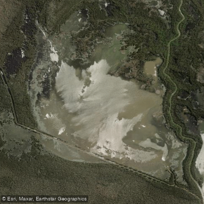
Moira Lake
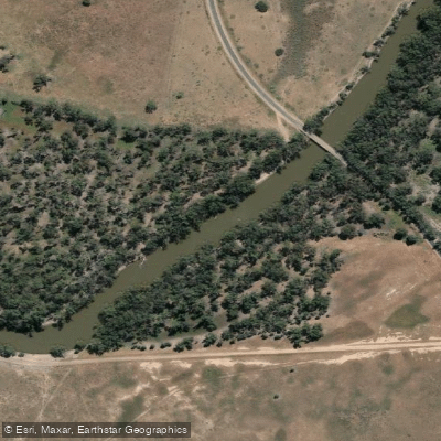
Edward River
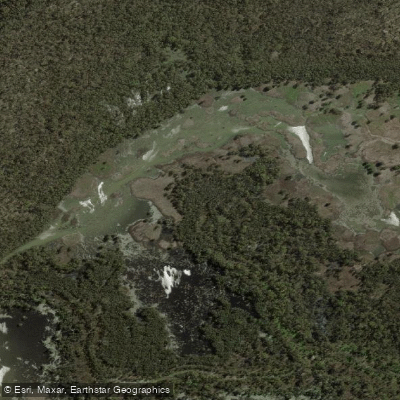
Sheldrakes Lake
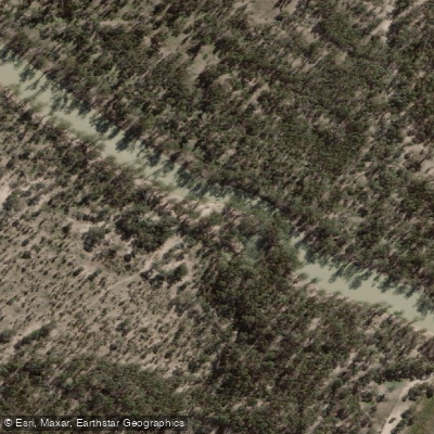
Wakool River
Duck Lagoon
Gulpa Creek
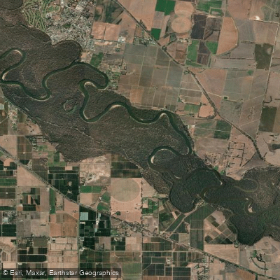
Horseshoe Lagoon
Stockyard Creek
Dairy Lagoon
Water and weather conditions (10 day forecast)
See the best times to paddle Murray Valley National Park and check the forecast before you go.
No forecast data available.
Paddle smarter with real-time insights
Whether you're en route and conditions shift or you're looking for the best spot based on current flows, we enable you to make informed decisions on the fly.







Paddling near Murray Valley National Park
Loading...
Gateway towns
Where to base yourself for paddling in Murray Valley National Park.
- DeniliquinNSW
Closest town to the park with accommodation, camping supplies, and access to the red gum forests and Murray River.
- MoamaNSW
Northern gateway town near the Murray River boundary of the park, with lodging and river access for kayaking and fishing.
- BaroogaNSW
Small riverside town near the Barooga section of the park, close to Smithers Beach Campground on the Murray.
Explore Murray Valley National Park
Top paddling waters
Popular Cities
Loading popular cities...

Smarter Paddling Starts in the App.
Paddleways gives you everything you need to plan smarter, paddle better, and own every trip from first launch to takeout.