Edward River
Edward River
- Boat Ramps
- 7
- Access Points
- 0
- Campsites
- 7
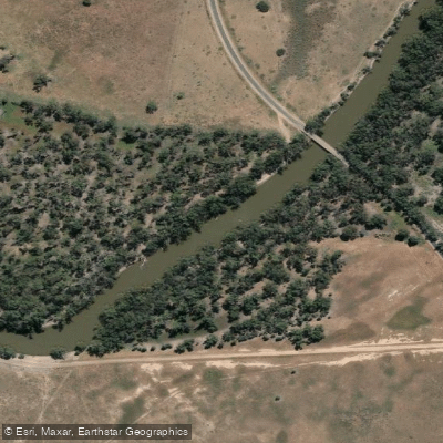
The Edward River is an anabranch of the Murray River in New South Wales, approximately 400 kilometres in total length. It departs the Murray at Picnic Point upstream of Barmah, flows through Deniliquin and Moulamein, then joins the Wakool River for its final 30 kilometres before rejoining the Murray downstream of Tooleybuc. The river winds through both Murray Valley National Park and Murray Valley Regional Park, and lies within the traditional lands of the Wamba Wamba and Perrepa Perrepa Nations, whose traditional name for the river is Kolety (pronounced kol-etch).
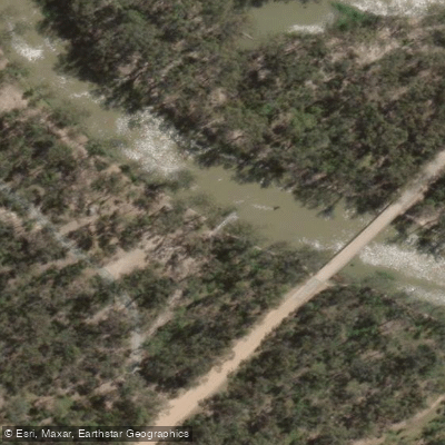
The designated canoe and kayak trail covers over 60 kilometres of water trails, offering options ranging from a few hours on the water to multi-day journeys. The primary access point is Edward River Bridge picnic area near Mathoura (NSW 2710), which features a wheelchair-accessible kayak launch reached via a concrete path from the gravel carpark. The carpark includes two concreted accessible parking spaces. Millewa Road, which provides access, is an unsealed all-weather road that can become boggy in wet conditions, so checking weather before departure is advisable.
The river carries a gentler current than the nearby Murray, making it suitable for paddlers of all experience levels. Along the trail, paddlers will find beaches and swimming spots suitable for stops and picnics. Tent-based camping along the river is free, and dogs are permitted at the Edward River Bridge campground within Murray Valley Regional Park. Facilities at the Edward River Bridge picnic area include accessible toilets, picnic tables, and a barbecue shelter. Drinking water is limited or unavailable in the area, so paddlers should bring their own supply. Gas or fuel stoves are recommended, particularly during summer fire season.
September through April is generally the best period for paddling on the Edward River. Summer temperatures in the region can reach extreme highs, and paddlers should plan accordingly with adequate sun protection, hats, and water. The town of Mathoura is nearby for resupply. Paddlers undertaking multi-day trips are encouraged to complete a trip intention form so that emergency contacts have details of the planned journey. GPS measurements of distances between access points have been found to differ from those listed in the Edward River Canoe and Kayak Trail Guide, so paddlers should account for potential discrepancies when planning pickup logistics.
Water access, boat ramps & amenities
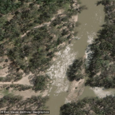
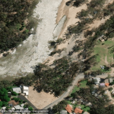
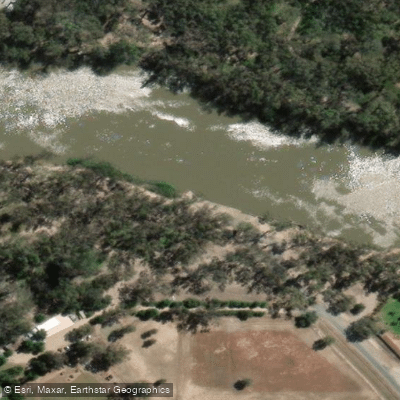
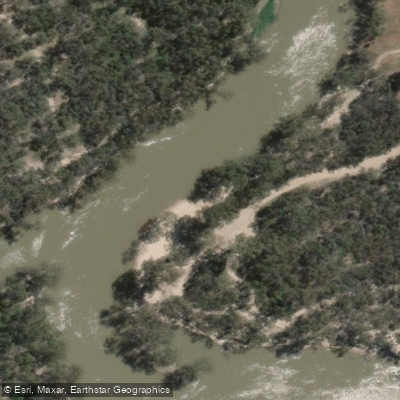
Learn how to get on Edward River. Uncover great paddling access points, boat ramps, and all the facilities you need for an unforgettable day on the water. Some locations shown may border or include private property. Always check property boundaries and applicable regulations before visiting. PaddleWays's Public & Private Land layer can help you plan your access with confidence.
Paddle smarter with real-time insights
Whether you're en route and conditions shift or you're looking for the best spot based on current flows, we enable you to make informed decisions on the fly.








Find Places to Paddle

Over 400,000 Places to Paddle
Every user gets free access to launch points, boat ramps, and public property parcels.


Water and weather conditions (10 day forecast)
See the best times to paddle Edward River and check the forecast before you go.
Edward River At Deniliquin
All Flow Stations
Paddling near Edward River
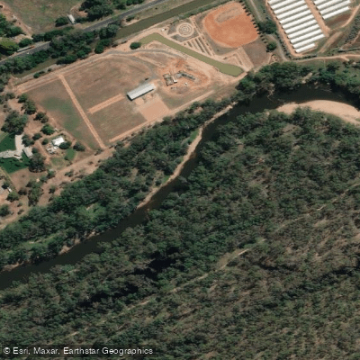
Goulburn River
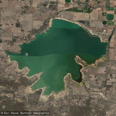
Waranga Basin

Murray River
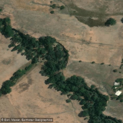
Holland Creek

Campaspe River
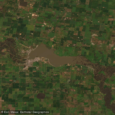
Lake Mulwala
Gulpa Creek
Hughes Creek
Ovens River
Explore New South Wales waters
Top paddling waters
No waters available right now.
Popular Cities
Loading popular cities...
Explore near Edward River
Access points
- Benarca Bend Boat Ramp (Stevens Weir)
- Edward River Bridge Canoe/Kayak Launch
- Harfluer Street Boat Ramp
- Lawson Syphon
- Mcleans Beach, Deniliquin - Edward River
- Sloane Street
- Twin Rivers
- Big 4 Deniliquin Holiday Park
- Cumalong Campsite
- Edward River Bridge Campsite
- Edward River Bridge Campsite 1
- Edward River Bridge Campsite 3
- All 14 spots
Nearby waters
More in New South Wales

Smarter Paddling Starts in the App.
Paddleways gives you everything you need to plan smarter, paddle better, and own every trip from first launch to takeout.