Wakool River
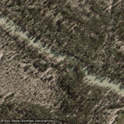
Wakool River
- Boat Ramps
- 1
- Access Points
- 0
- Campsites
- 2
The Wakool River is a watercourse within the Murray-Darling Basin in New South Wales, functioning as part of an interconnected anabranch system. The Edward River, after flowing through Deniliquin and Moulamein, joins the Wakool River for its final approximately 30 kilometres before the combined waterway rejoins the Murray River downstream of Tooleybuc. The Kyalite to Murray confluence section spans roughly 32 kilometres, making it a manageable multi-day or extended day paddle depending on conditions and pace.
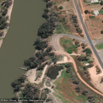
Access at Kyalite is straightforward. Directly opposite the Kyalite Hotel, a steep concrete ramp provides boat access to the river. For paddlers preferring a more informal launch, a bushland reserve on the Balranald side of the bridge offers camping and bush launching suitable for smaller craft. Accommodation is available at the caravan park adjacent to the hotel, which is useful for paddlers staging a trip from this point.
Further downstream, the Wakool River Camping Area at Caldwell sits on the southern bank and provides a riverside stopping point with basic facilities. The site includes a long-drop toilet, a picnic area with tables, additional tables along the riverbank, and a boat ramp near the bridge. The camping area accommodates caravans and tents, and pets are permitted. Access to the site is via a dirt track on the south side of the bridge. No reticulated water is available, though the river itself can be used for washing purposes.
The river corridor supports populations of Murray cod and yellowbelly (golden perch), which is relevant for paddlers who may encounter fishing activity, particularly boat-based anglers near Kyalite. The surrounding landscape is characteristic of the Murray-Darling floodplain, with riparian vegetation and bushland reserves along sections of the bank.
Water access, boat ramps & amenities
Learn how to get on Wakool River. Uncover great paddling access points, boat ramps, and all the facilities you need for an unforgettable day on the water. Some locations shown may border or include private property. Always check property boundaries and applicable regulations before visiting. PaddleWays's Public & Private Land layer can help you plan your access with confidence.
Paddle smarter with real-time insights
Whether you're en route and conditions shift or you're looking for the best spot based on current flows, we enable you to make informed decisions on the fly.








Find Places to Paddle

Over 400,000 Places to Paddle
Every user gets free access to launch points, boat ramps, and public property parcels.


Water and weather conditions (10 day forecast)
See the best times to paddle Wakool River and check the forecast before you go.
Wakool River At Stoney Crossing
All Flow Stations
Paddling near Wakool River

Campaspe River
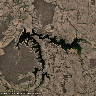
Lake Eppalock
Loddon River
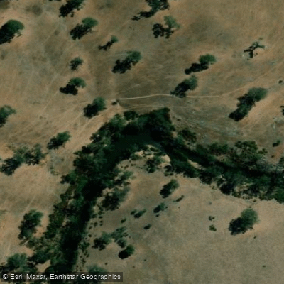
Coliban River
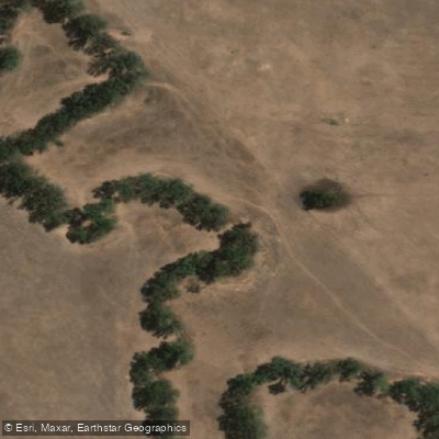
Spring Creek
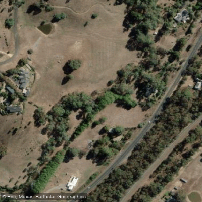
Barkers Creek
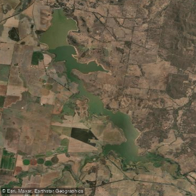
Cairn Curran Reservoir
Goulburn River

Werribee River
Sandy Creek
Explore New South Wales waters
Top paddling waters
No waters available right now.
Popular Cities
Loading popular cities...
Explore near Wakool River

Smarter Paddling Starts in the App.
Paddleways gives you everything you need to plan smarter, paddle better, and own every trip from first launch to takeout.