Paddling in Rinyirru (Lakefield) National Park (Cape York Peninsula Aboriginal Land)
- National Park
- Lakes
- 14
- Rivers
- 23
- Access
- 0
- Boat Ramps
- 0
- Shops
- 0
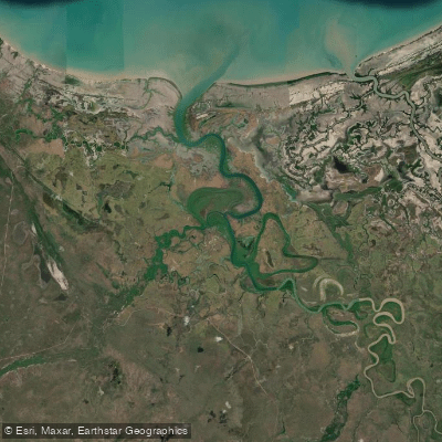
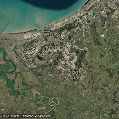
Rinyirru (Lakefield) National Park sits on the eastern flank of Cape York Peninsula in far north Queensland, draining toward Princess Charlotte Bay across a landscape of savannah, paperbark woodland, lagoons, and gallery rainforest-fringed rivers.
The water here is slow, flat, and seasonal — a network of river systems and wetlands that fills dramatically in the wet and settles into navigable channels and lagoons through the dry. This is not whitewater country.
It is wide, brown, tidal-influenced river paddling, with the kind of stillness that makes every ripple worth watching. The Normanby River is the backbone of the park's waterways and the most significant paddling corridor.
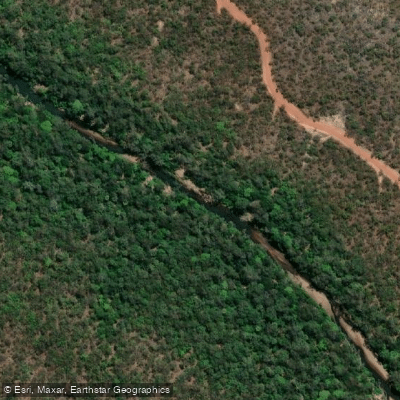
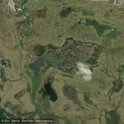
The Annie River, in the park's north, gives access to a quieter, more remote stretch of wetland country. Catfish Creek and the lagoons scattered across the park round out the flatwater options — shallow, wildlife-dense, and best explored at a slow pace.
Access is strictly seasonal. The park closes entirely through the wet season: camping areas south of the Lakefield ranger base close from 1 December to 31 May, and those to the north — including the Annie River area — from 1 December to 30 June.
These dates shift with weather and road conditions. The internal tracks require high-clearance 4WD, and getting a boat to the water is part of the logistical challenge. Check Queensland Parks and Wildlife Service alerts before committing to a launch date.
Crocodiles are present throughout the park's waterways. This is not a precaution buried in fine print — it is the defining safety reality of paddling here. Stay in your boat, keep clear of banks and overhanging vegetation, and treat every waterway as occupied.
Camping permits are required for all areas within the park and must be booked in advance through Queensland Parks and Wildlife Service. Rarda-Ndolphin (Low Lake) is a restricted access area; visitors are limited to the car park and viewing area.
Rinyirru is jointly managed by the Rinyirru Aboriginal Corporation and the Queensland Government on Cape York Peninsula Aboriginal Land.
Paddling here means travelling on Country that carries deep cultural significance for the Lama Lama, Kuku Thaypan, and related Traditional Owner groups.
That context shapes how you move through it — quietly, carefully, and with attention to what the land asks of you.
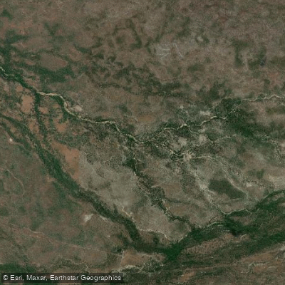
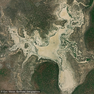
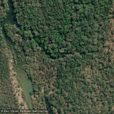
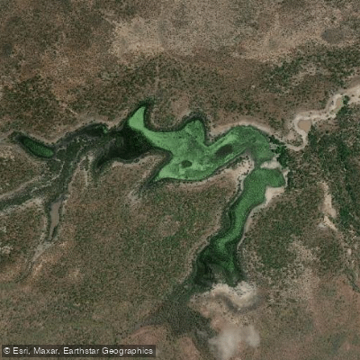
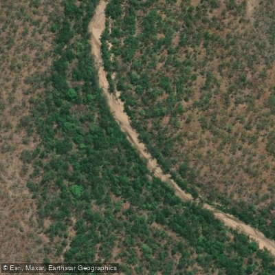
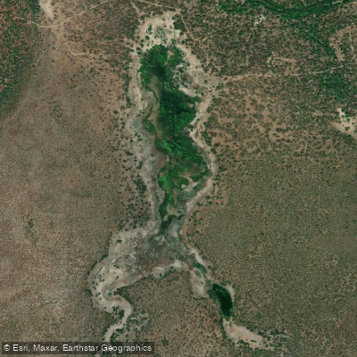
Top waters to paddle near Rinyirru Lakefield National Park Cape York Peninsula Aboriginal Land
Water and weather conditions (10 day forecast)
See the best times to paddle Rinyirru (Lakefield) National Park (Cape York Peninsula Aboriginal Land) and check the forecast before you go.
No forecast data available.
Paddle smarter with real-time insights
Whether you're en route and conditions shift or you're looking for the best spot based on current flows, we enable you to make informed decisions on the fly.







Paddling near Rinyirru (Lakefield) National Park (Cape York Peninsula Aboriginal Land)
Loading...
Gateway towns
Where to base yourself for paddling in Rinyirru (Lakefield) National Park (Cape York Peninsula Aboriginal Land).
- LauraQueensland
Southern gateway town on the Peninsula Development Road, with the main access route into the park via Lakefield Road.
- CooktownQueensland
Eastern gateway with supplies, fuel, and services; visitors enter the park via Battle Camp Road from here.
- MusgraveQueensland
Northern access point via the Musgrave Roadhouse, serving travellers entering the park from the western side.
Explore Rinyirru (Lakefield) National Park (Cape York Peninsula Aboriginal Land)
Top paddling waters
Popular Cities
Loading popular cities...

Smarter Paddling Starts in the App.
Paddleways gives you everything you need to plan smarter, paddle better, and own every trip from first launch to takeout.