Catfish Creek
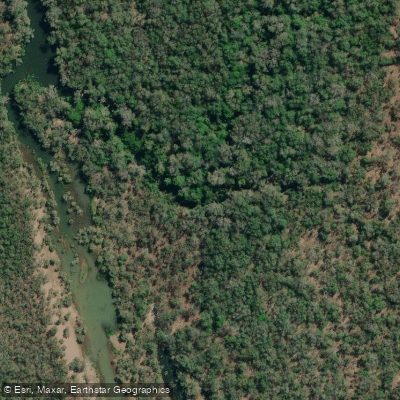
Catfish Creek
- Boat Ramps
- 0
- Access Points
- 0
- Campsites
- 0
Catfish Creek in Queensland offers a paddling route estimated to take approximately three and a half hours to complete. A primary access point for launching is located on the south side of the road, on the east side of a bridge, with paddlers launching directly under the bridge structure. Parking for this trip is available on the east side of the same bridge and on the north side of the road. Queensland generally allows public recreational access for activities like boating, so paddlers should be aware of local regulations. The creek environment is suitable for a half-day excursion, with the put-in facilitated by roadside infrastructure.
Water access, boat ramps & amenities
Learn how to get on Catfish Creek. Uncover great paddling access points, boat ramps, and all the facilities you need for an unforgettable day on the water. Some locations shown may border or include private property. Always check property boundaries and applicable regulations before visiting. PaddleWays's Public & Private Land layer can help you plan your access with confidence.
Paddle smarter with real-time insights
Whether you're en route and conditions shift or you're looking for the best spot based on current flows, we enable you to make informed decisions on the fly.







Queensland licenses and regulations

Find Places to Paddle

Over 400,000 Places to Paddle
Every user gets free access to launch points, boat ramps, and public property parcels.


Water and weather conditions (10 day forecast)
See the best times to paddle Catfish Creek and check the forecast before you go.
No forecast data available.
Paddling near Catfish Creek
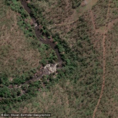
Barron River
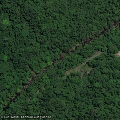
Freshwater Creek
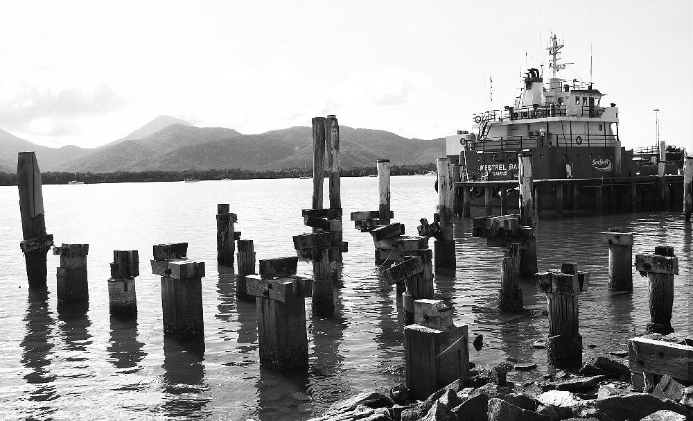
Trinity Inlet
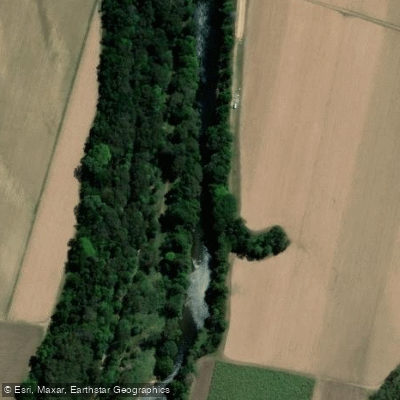
Mulgrave River
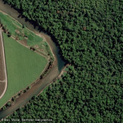
Russell River
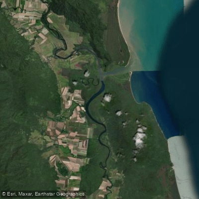
Mutchero Inlet/Russell Mulgrave
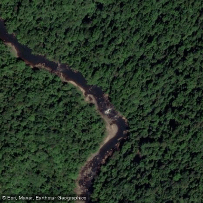
Johnstone River
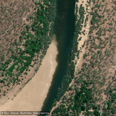
Mitchell River
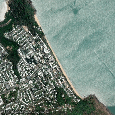
Trinity Beach
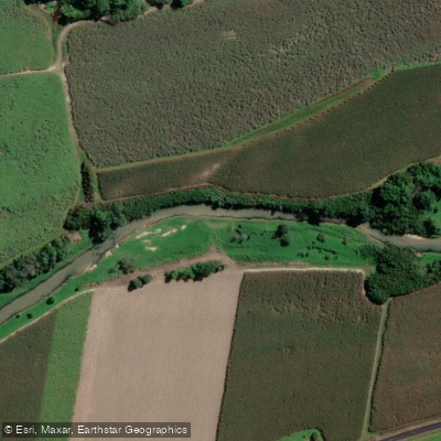
Babinda Creek
Explore Queensland waters
Top paddling waters
No waters available right now.
Popular Cities
Loading popular cities...
Explore near Catfish Creek

Smarter Paddling Starts in the App.
Paddleways gives you everything you need to plan smarter, paddle better, and own every trip from first launch to takeout.